
Doingt, commune in Somme, France
Location: Somme
Location: arrondissement of Péronne
Elevation above the sea: 67 m
Shares border with: Buire-Courcelles, Bussu, Cartigny, Mesnil-Bruntel, Péronne
Phone: +33322840743
Email: mairie-doingt@wanadoo.fr
GPS coordinates: 49.92278,2.96528
Latest update: May 29, 2025 21:31
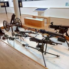
Museum of the Great War
2.6 km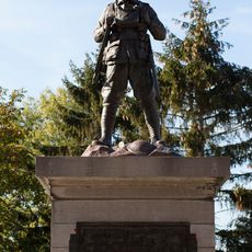
Mont Saint-Quentin Australian war memorial
2.3 km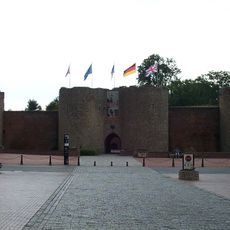
Château-fort de Péronne
2.3 km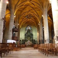
Église Saint-Jean-Baptiste de Péronne
2.3 km
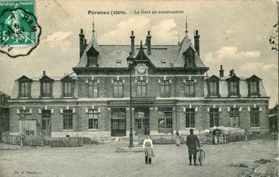
Château de Péronne
2.5 kmChâteau d'Happlaincourt
6.5 km
Abbey of Mont-Saint-Quentin
3.5 km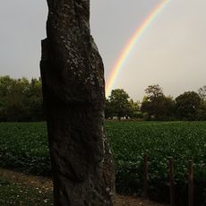
Pierre de Gargantua
457 m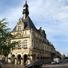
Musée Alfred-Danicourt
2.6 km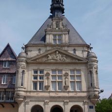
Hôtel de ville de Péronne
2.3 km
Abbaye Notre-Dame de Biaches
4 kmÉglise Saint-Géry de Brie
5.6 km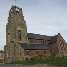
Église Saint-Pierre d'Estrées-Mons
5.7 km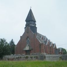
Église Sainte-Radegonde de Driencourt
5.1 km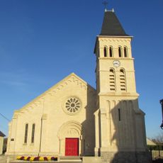
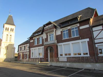
Église Notre-Dame-de-l'Assomption de Doingt
109 m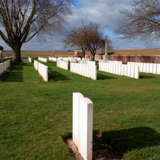
Doingt Communal Cemetery Extension
312 m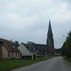
Église Saint-Paul d'Allaines
4.5 km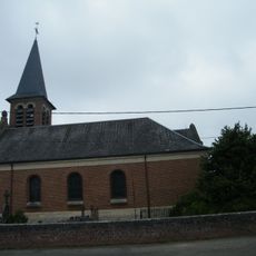
Église Saint-Antoine d'Aizecourt-le-Haut
4.9 km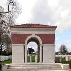
Peronne Communal Cemetery Extension
2.6 km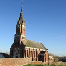
Église Saint-Martin de Buire-Courcelles
3.5 km
Église Saint-Médard de Barleux
6 km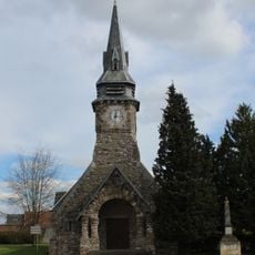
Église Saint-Martin de Bussu
2.7 km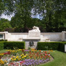
War memorial of Péronne - rue Béranger
2 km
Église Saint-Hilaire de Bouvincourt-en-Vermandois
6.2 km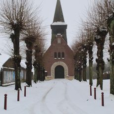
Église Saint-Médard de Mesnil-Bruntel
3 km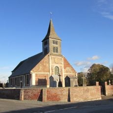
Église Saint-Quentin de Tincourt
5.6 km
Église Saint-Médard d'Éterpigny
4.6 km
Église Saint-Médard de Biaches
3.9 kmVisited this place? Tap the stars to rate it and share your experience / photos with the community! Try now! You can cancel it anytime.
Discover hidden gems everywhere you go!
From secret cafés to breathtaking viewpoints, skip the crowded tourist spots and find places that match your style. Our app makes it easy with voice search, smart filtering, route optimization, and insider tips from travelers worldwide. Download now for the complete mobile experience.

A unique approach to discovering new places❞
— Le Figaro
All the places worth exploring❞
— France Info
A tailor-made excursion in just a few clicks❞
— 20 Minutes