Gourin, commune in Morbihan, France
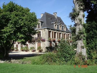
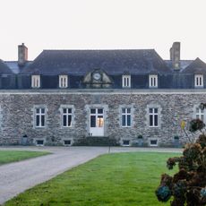
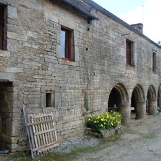
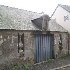
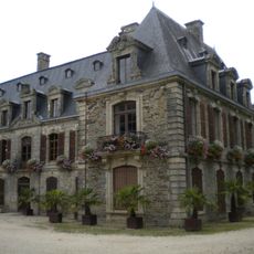
Gourin is a commune in Morbihan, Brittany, and the highest town in the department, located among green hills and open fields. The town features old stone buildings arranged around narrow pathways and a central square that has served as a community gathering place for centuries. Surrounding the town, the Montagnes Noires mountains rise with forests and streams, creating a landscape of rural character and natural scenery.
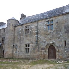
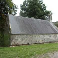
Gourin appears in documents from the 13th century and became known for slate quarrying starting in the 15th century. The arrival of the railway in the late 1800s expanded the slate industry significantly, but the mines closed by the early 1960s after about 150 years of extraction. A major wave of emigration to North America began before 1900, driven by economic changes and the closure of local industries.
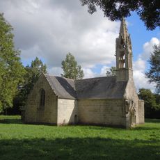
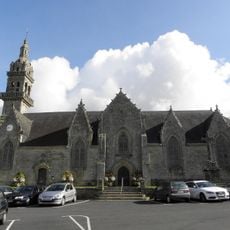
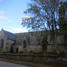
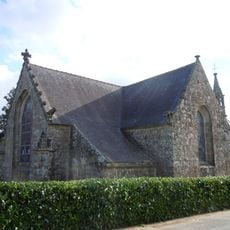
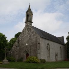
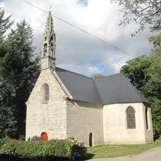
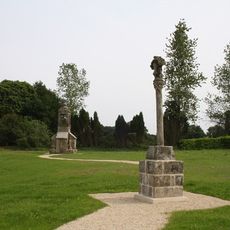
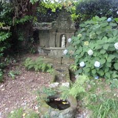
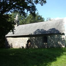
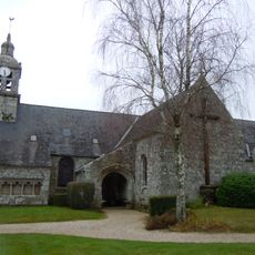
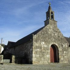
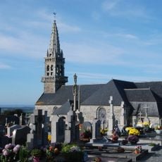
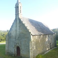
Gourin carries strong connections to Breton traditions, visible in local festivals where traditional music and dance are performed throughout the year. The town square remains a gathering place where residents and visitors experience local markets and community events that have roots going back several centuries. The chapel of Saint-Hervé hosts an annual festival called the pardon, where locals honor their patron saint and celebrate shared cultural practices.
Gourin sits at about 300 meters elevation and is best explored on foot or by bicycle using the many trails through forests and fields around the town. The town has shops, restaurants, and accommodation options including guest houses and camping sites for visitors planning to stay longer. A 19-kilometer cycle path called the voie verte connects Gourin to nearby Guiscriff and is suitable for families and all ages.
A small replica of the Statue of Liberty stands in the town square, commemorating the thousands of residents who emigrated to North America before 1900. The statue was a gift from Air France and stands about 9 feet (2.90 meters) tall, representing the enduring connection between Gourin and thousands of descendants now living in places like New York. A walking game called The Secret of the American guides visitors through town streets while exploring this emigration history.
The community of curious travelers
AroundUs brings together thousands of curated places, local tips, and hidden gems, enriched daily by 60,000 contributors worldwide.