Enable Location

We need your location to show you interesting places around you

Discover nearby places

Find interesting locations and hidden gems around you

Precise directions

Get accurate directions and distances to places

Your location is never shared with other users. It's only used when you tap the location button.

Saint-Bauzille-de-Putois

Log in to your account

Start exploring — it's free

Trusted by 61,561 travelers worldwide

Continue with Google
Continue with Apple
or

We will send you a code to connect

By continuing, you accept our Terms and Conditions and our Privacy Policy

Check your inbox

We've sent a pincode in your inbox. Please enter the code below.

Saint-Bauzille-de-Putois

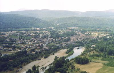
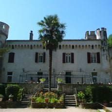
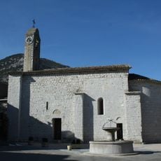
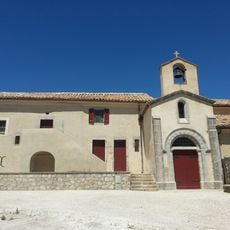
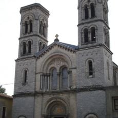
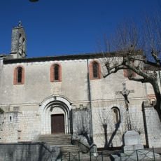
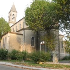
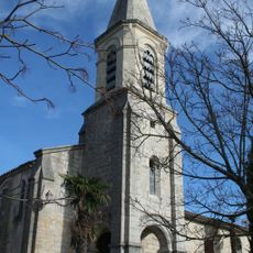
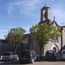
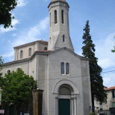
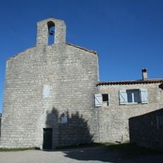
Saint-Bauzille-de-Putois, Commune in Hérault department, Occitanie region, France.

Description

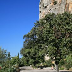
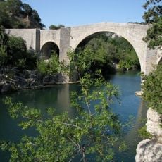
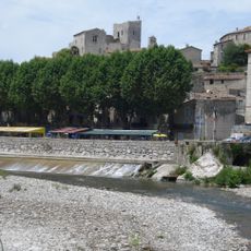
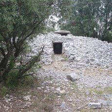
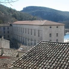
Saint-Bauzille-de-Putois sits at 221 meters elevation along the Hérault River, surrounded by garrigue landscapes, Cévennes foothills, and dramatic rock formations including the prominent Thaurac cliffs.

History

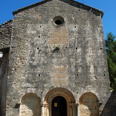
The village has served as a historical passageway between mountain ranges and coastal areas, connecting different regions through strategic routes traversing the garrigue and Cévennes landscapes for centuries.

Culture

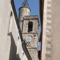
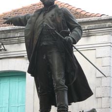
Local residents maintain Occitan traditions and celebrate the annual Fête Votive in early August, showcasing regional customs, communal gatherings, and heritage rooted in southern French culture.

Practical

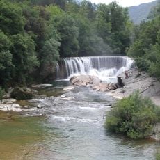
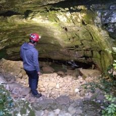
The commune covers 18.2 square kilometers with 1,839 inhabitants, accessible via postal code 34190, and offers outdoor activities including canoeing, kayaking, and via ferrata climbing near the Gorges de l'Hérault.

Did you know?

The village hosts Highline Saint Bauzille de Putois events, attracting adventure sports enthusiasts for slacklining and highline activities amid the dramatic cliff formations and river gorges.

Location
Location
Communauté de communes des Cévennes gangeoises et suménoises
Elevation above the sea
221 m
Shares border with
Agonès, Brissac, Ferrières-les-Verreries, Laroque, Montoulieu, Moulès-et-Baucels
Address
34190 Saint-Bauzille-de-Putois, France
Phone
GPS coordinates
43.89528,3.73639
Latest update
July 22, 2025 11:42

AroundUs brings together thousands of curated places, local tips, and hidden gems, enriched daily by 60,000 contributors worldwide. Discover all places nearby (Hérault).

« Saint-Bauzille-de-Putois - Commune in Hérault department, Occitanie region, France » is provided by Around Us (aroundus.com). Images and texts are derived from Wikimedia project under a Creative Commons license. You are allowed to copy, distribute, and modify copies of this page, under the conditions set by the license, as long as this note is clearly visible.

Discover hidden gems everywhere you go!

From secret cafés to breathtaking viewpoints, skip the crowded tourist spots and find places that match your style. Our app makes it easy with voice search, smart filtering, route optimization, and insider tips from travelers worldwide. Download now for the complete mobile experience.

Around Us App Screenshot

A unique approach to discovering new places

Le Figaro

All the places worth exploring

France Info

A tailor-made excursion in just a few clicks

20 Minutes

Around Us
Travel Guide & Maps
Download

Send to your phone

QR Code
1

Open the camera app on your mobile.

2

Point at the QR code with your camera. A notification will appear.

3

Tap the notification to open the link.