
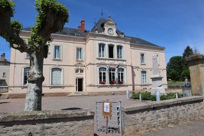
Thury, commune in Côte-d'Or, France
Location: canton of Nolay
Location: Côte-d’Or
Location: arrondissement of Beaune
Elevation above the sea: 390 m
Industry: administration publique générale
Shares border with: Saint-Pierre-en-Vaux, Champignolles, Molinot, Viévy, Épinac, Sully
GPS coordinates: 47.03361,4.52417
Latest update: March 3, 2025 12:35

Château de Sully
4.6 km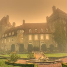
Château d'Épinac
4.7 km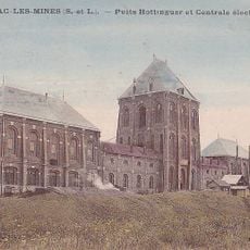
Puits Hottinguer
5.6 km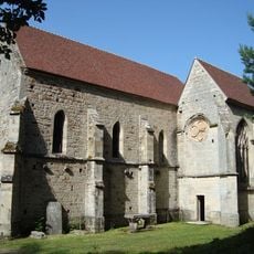
Prieuré du Val Saint-Benoît
8.4 km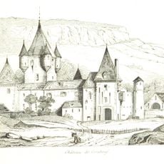
Corabœuf Castle
8.8 km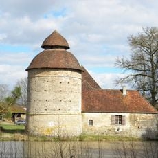
Château de Molinot
5.2 km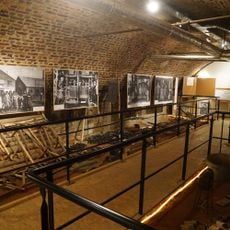
Musée de la mine d'Épinac
4.8 km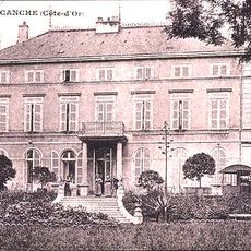
Château de Lacanche
5.6 km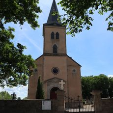
Église Saint-Étienne de Lacanche
5.2 km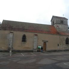
Église Saint-Pierre de Saisy
8.3 km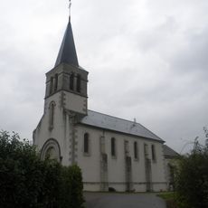
Église Saint-Jean-Baptiste de Champignolles
3.8 km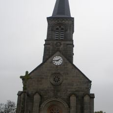
Église Saint-Jean-Baptiste d'Aubigny-la-Ronce
8.2 km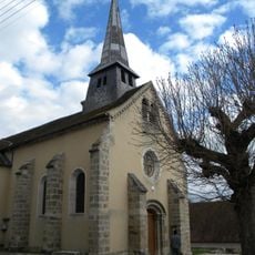
Église de l'Assomption de Molinot
5.5 km
Église Saint-Pierre de Saint-Pierre-en-Vaux
2.6 km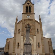
Église Saint-Pierre de Maligny
5.9 km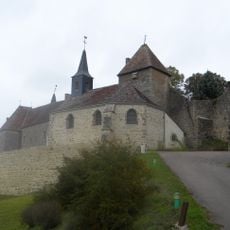
Église de l'Assomption de Jours-en-Vaux
5 km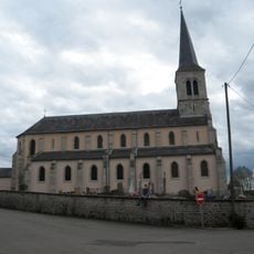
Église Saint-Hilaire de Thury
95 m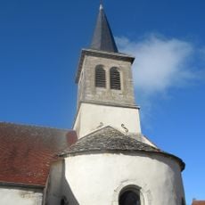
Église Saint-Étienne d'Ivry-en-Montagne
8.5 km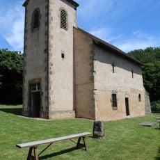
Chapelle Saint-Pierre de Saint-Pierre-en-Vaux
4.1 km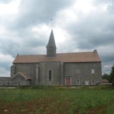
Église Saint-Laurent de Thomirey
7.5 km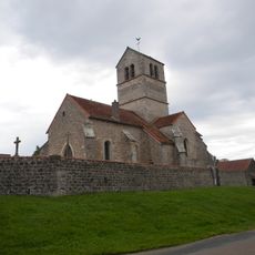
Église Saint-Laurent de Saussey
7.6 km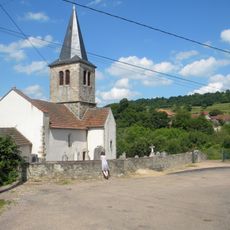
Église Saint-Germain-d'Auxerre de Santosse
8.5 km
Église du prieuré du Val Saint-Benoît
4.6 km
Chapelle du cimetière de Sully
4.6 km
Église de l'Assomption d'Antigny-la-Ville
7.9 km
Église Saint-Christophe de Viévy
6.1 km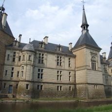
Chapelle Notre-Dame de Sully
4.6 km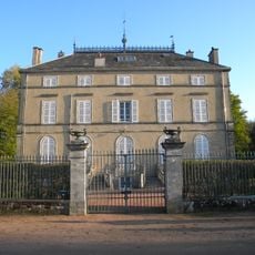
Maison Coste
5.6 kmVisited this place? Tap the stars to rate it and share your experience / photos with the community! Try now! You can cancel it anytime.
Discover hidden gems everywhere you go!
From secret cafés to breathtaking viewpoints, skip the crowded tourist spots and find places that match your style. Our app makes it easy with voice search, smart filtering, route optimization, and insider tips from travelers worldwide. Download now for the complete mobile experience.

A unique approach to discovering new places❞
— Le Figaro
All the places worth exploring❞
— France Info
A tailor-made excursion in just a few clicks❞
— 20 Minutes