
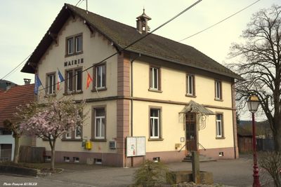
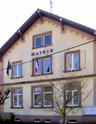
Malmerspach, commune in Haut-Rhin, France
Location: canton of Saint-Amarin
Location: arrondissement of Thann-Guebwiller
Elevation above the sea: 565 m
Shares border with: Mitzach, Saint-Amarin, Moosch
Phone: +33389826235
Email: mairie-malmerspach@orange.fr
GPS coordinates: 47.86389,7.03444
Latest update: May 25, 2025 13:50
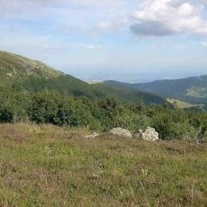
Ballons des Vosges Regional Natural Park
24.8 km
Centre de loisirs de Wesserling
4.2 km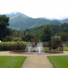
Parc de Wesserling
3.5 km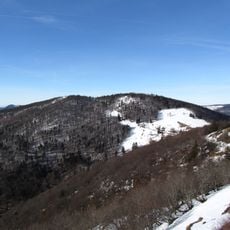
Storkenkopf
5.8 km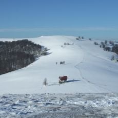
Rossberg
5.2 km
Château de Stoerenbourg
2.8 km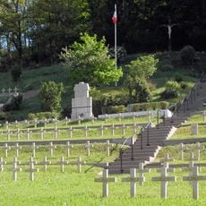
Moosch National Cemetery
1.6 km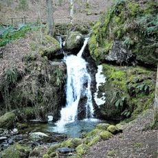
Cascade du Bubalafels
2.2 km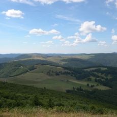
Le Hundskopf
5.8 km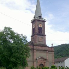
Église Saint-Alphonse-de-Liguori de Bitschwiller-lès-Thann
5 km
Église Saint-Wendelin, Kruth
6.8 km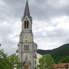
Église Saint-Augustin de Moosch
1.2 km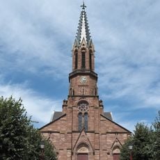
Église Saint-Didier
3.6 km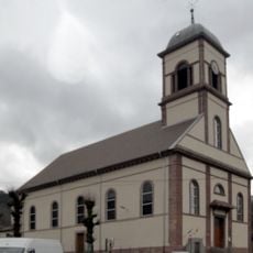
Église Saint-Jean-Baptiste de Mollau
4.6 km
Église Saint-Sébastien de Geishouse
2.7 km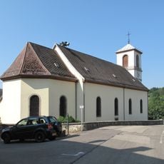
Église Saint-Laurent de Goldbach-Altenbach
5.3 km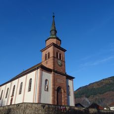
Saint Wendelin, Urbès
6.3 km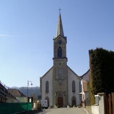
Église Saint-Antoine-de-Padoue de Ranspach
2.9 km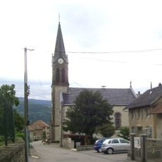
Église Saint-Dominique de Mitzach
2.6 km
Église Saint-Joseph-Artisan de Malmerspach
419 m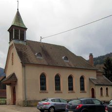
Chapelle Saint-Joseph de Storckensohn
5.9 km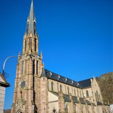
Église Saint-Antoine, Fellering
5.1 km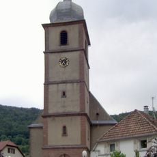
Église Saint-Projet et Saint-Amarin de Saint-Amarin
1.4 km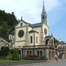
Chapelle Notre-Dame-du-Bon-Secours d'Oderen
6.3 km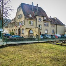
Musée Serret
1.3 km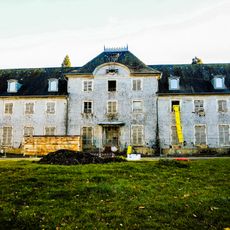
Château de Wesserling
3.6 km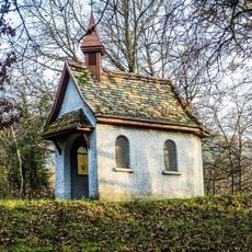
Chapelle Saint-Nicolas de Willer-sur-Thur
4.4 km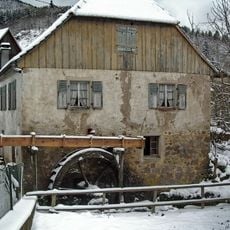
Storckensohn watermill
5.9 kmVisited this place? Tap the stars to rate it and share your experience / photos with the community! Try now! You can cancel it anytime.
Discover hidden gems everywhere you go!
From secret cafés to breathtaking viewpoints, skip the crowded tourist spots and find places that match your style. Our app makes it easy with voice search, smart filtering, route optimization, and insider tips from travelers worldwide. Download now for the complete mobile experience.

A unique approach to discovering new places❞
— Le Figaro
All the places worth exploring❞
— France Info
A tailor-made excursion in just a few clicks❞
— 20 Minutes