Le Hundskopf, Mountain summit in Haut-Rhin, France
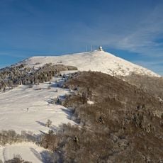
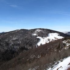
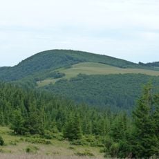
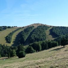
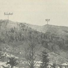
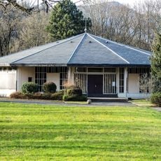
Le Hundskopf is a summit of the Vosges massif rising to 1,237 metres, close to the Markstein and set between the Marksteinkopf and the Storkenkopf. Its rounded top is covered by dense forest, while open pastures in shades of green and pale yellow break the tree cover on the lower and middle slopes. A paved road winds along the left side of the summit through the trees and grass, and a small dark building stands alone in one of the meadows.
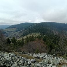
Le Hundskopf rises to 1,237 m between the Marksteinkopf and the Storkenkopf, 1.6 km from the latter, which reaches 1,366 m. It stands near the Markstein in the Vosges massif, about 10 km west of Guebwiller. The summit is wooded, with pastures on its slopes, and the surrounding area is forested.
The name Hundskopf comes from German and literally means dog's head, reflecting the Germanic language heritage of the Haut-Rhin region. The slopes today support alpine plant life and serve as a hiking destination where visitors experience the local mountain landscapes.
The summit is accessible via marked hiking trails that wind through mountain forests and meadows. Visitors should plan to bring proper gear and expect a moderate to challenging walk, as routes can be steep and extended.
From this summit, visitors enjoy sweeping views that extend eastward toward the Alsace plain and westward across the surrounding Vosges peaks. On clear days, the vista allows visitors to see the geographic diversity of the region in a single view.
The community of curious travelers
AroundUs brings together thousands of curated places, local tips, and hidden gems, enriched daily by 93,659 contributors worldwide.