Le Jungfrauenkopf, Mountain summit at Markstein, France.
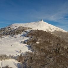
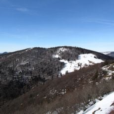
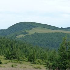
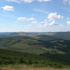
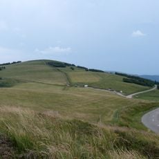
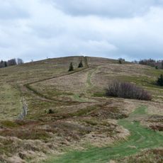
Le Jungfrauenkopf is a summit in the Vosges rising to 1268 metres on the Route des Crêtes at the Markstein site, in Haut-Rhin. Its broad, gently sloping crest is dry tan grass, with small posts and thin masts in a sparse line along the top. Dense dark coniferous forest covers the lower slopes in long tongues split by open grassy channels, and two parallel clearings cut straight down the front face.
The name Jungfrauenkopf is German: "jung" means young, "Frauen" women and "Kopf" head, giving "head of the young women"; since "Jungfrau" also means virgin, it can read as "head of the virgin". The summit stands at 1268 m on the Route des Crêtes at the Markstein site, 6.2 km west of the Grand Ballon, the highest point nearby.
In German, "jung", "Frauen" and "Kopf" mean "young", "women" and "head", so Jungfrauenkopf can be read as "head of the young women". Since "Jungfrau" also means "virgin", the name is equally translated as "head of the virgin". The summit stands on the Route des Crêtes at the Markstein site.
The ascent can be made via the Route des Crêtes, a hiking path connecting multiple summits and viewpoints across the mountain range. The best time to hike is from May through October, when the trails are dry and easy to walk.
The summit stands on the Route des Crêtes at the Markstein site, 1,268 m high, 63 m above the surrounding terrain. Two parallel clearings cut straight down its forested front face, and small posts and thin masts line the crest. The Grand Ballon lies 6.2 km to the west; Guebwiller is 13.1 km away.
The community of curious travelers
AroundUs brings together thousands of curated places, local tips, and hidden gems, enriched daily by 94,051 contributors worldwide.