Le Lauchenkopf, Mountain summit in the Vosges, France
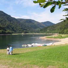
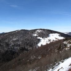
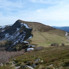
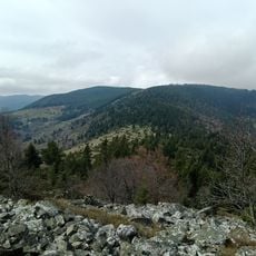
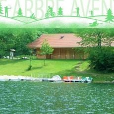
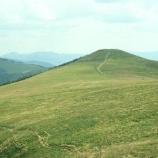
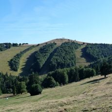
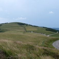
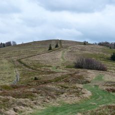
Le Lauchenkopf is a rounded granite summit in the Vosges Mountains reaching 1,314 metres, north of the Markstein. Its lower slopes are covered in dark green conifers, while the upper slopes open onto a pale grassy clearing that curves across the crown. The Lac de la Lauch lies below its southern side, and the Grande Fecht rises on its western flank.
The summit was under the control of Munster Abbey during the Middle Ages and appeared in Upper Rhine records as Inlochen in 1496 and Lauchensluck in 1738. These records show the area's long documented presence in regional territorial archives.
The name comes from the Lac de la Lauch below the summit; Upper Rhine archives record the ridge as Inlochen in 1496 and Lauchensluck in 1738. The summit clearing is an old chaume, a pasture of the Munster valley, and the main path is the Club Vosgien trail reached from a branch of the Route des Crêtes toward the Col du Platzerwasel.
The hike can start from Schnepfenried ski station and follows well-marked trails with elevation changes. The route offers multiple starting points and allows visitors to choose different path options based on fitness level and available time.
The summit ridge appears as Inlochen in Upper Rhine archives in 1496 and as Lauchensluck in 1738, names recorded before the modern French form. The Lac de la Lauch, or Lauchensee, below the summit gave the mountain its name. The wooded crown opens onto grassy chaumes, the old high pastures that shaped the ridge.
The community of curious travelers
AroundUs brings together thousands of curated places, local tips, and hidden gems, enriched daily by 94,538 contributors worldwide.