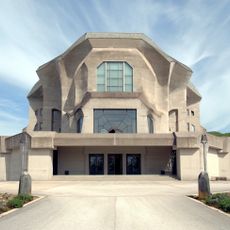
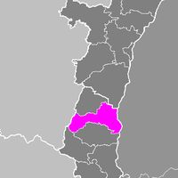
Haut-Rhin, Administrative department in Grand Est region, France
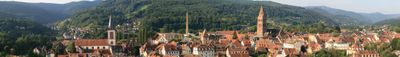
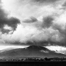
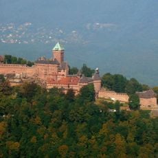
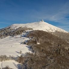
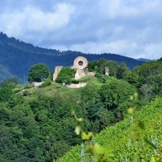
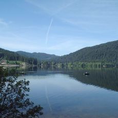
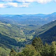
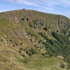
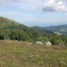
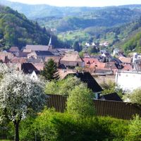
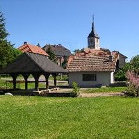
This administrative territory in eastern France extends along the Rhine plain and includes gentle vineyards, wooded hills, and the Vosges range. The area combines flat agricultural land with higher elevations where small settlements are scattered between river valleys and mountain ridges.
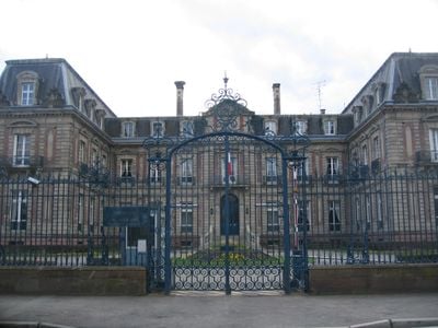
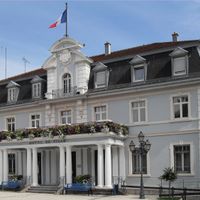
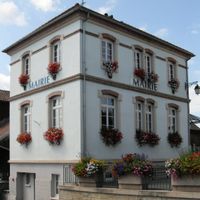
The administrative unit was created on March 4, 1790, during the French Revolution from the southern part of the former Alsace province. Colmar was chosen as the seat of government and has kept that role ever since.
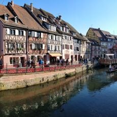
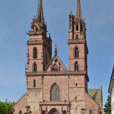
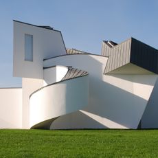
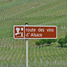
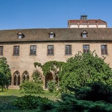
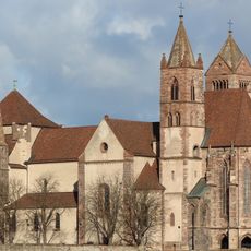
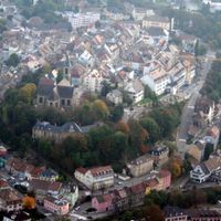
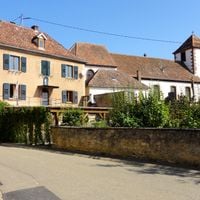
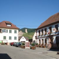
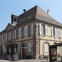
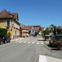
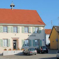
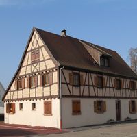
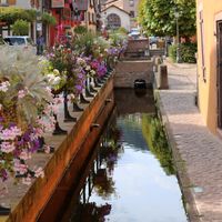
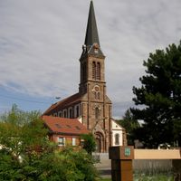
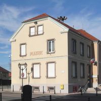
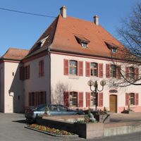
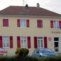
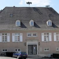
The name comes from the southern stretch of the Rhine, which forms the eastern border here and has shaped trade routes and local identity for centuries. Today visitors see half-timbered houses with colorful shutters, stork nests on rooftops, and village squares where market stalls sell regional wines and baked goods.
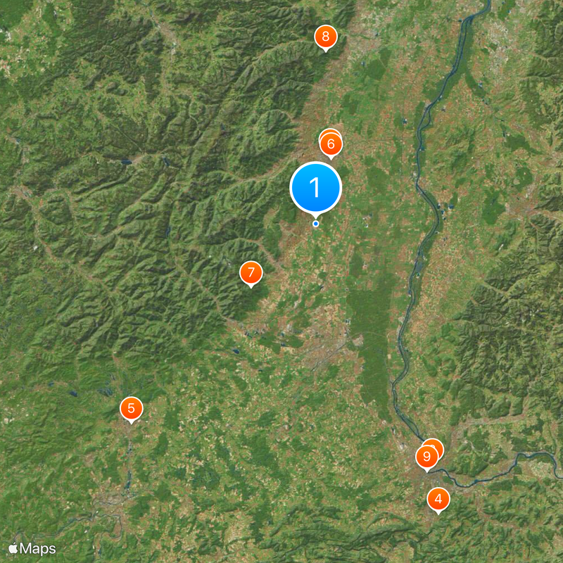
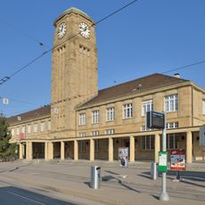
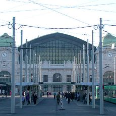
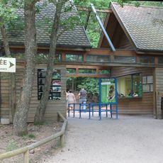
The area is accessible via several highways and rail lines that connect larger towns with the surrounding countryside. Travelers find information points in the main centers where maps and local tips are available.
Many residents of the border areas work in Switzerland while keeping their homes on the French side. This daily commuting practice shapes economic life in several villages south of Mulhouse.
The community of curious travelers
AroundUs brings together thousands of curated places, local tips, and hidden gems, enriched daily by 60,000 contributors worldwide.