Route des Crêtes, Scenic mountain road in Vosges Mountains, France
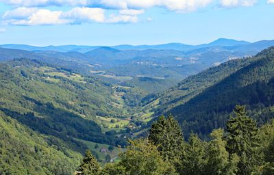
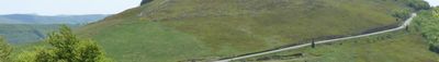
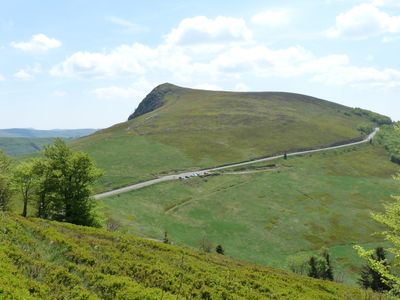
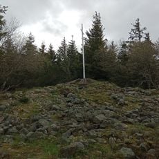
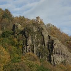
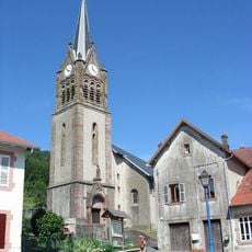
The Route des Crêtes is a mountain road stretching 77 kilometers through the southern Vosges and reaching elevations between 295 and 1,342 meters (970 and 4,400 feet). The route follows the ridge, connecting several passes with viewpoints overlooking the surrounding valleys.
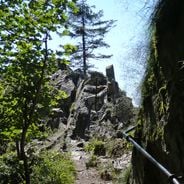
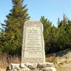
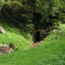
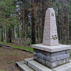
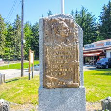
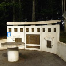
The French military built this road during World War I to move troops and supplies between France and Alsace. After the war, the route remained open and was adapted for civilian traffic.
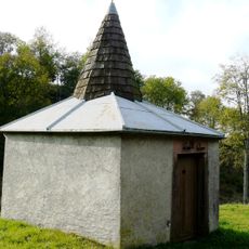
Farms along this mountain road serve as restaurants offering Munster cheese and homemade meat pies typical of the region. The dishes reflect the farming tradition of the Vosges, which visitors can experience during a stop.
The road closes from mid-November through April due to snow and becomes a cross-country ski trail during winter. During the open season, driving early in the day helps avoid larger crowds and provides clearer views.
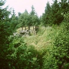
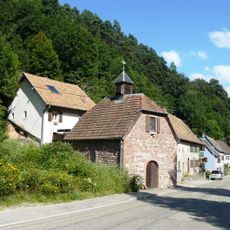
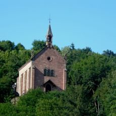
This road runs along the former border between France and Germany and offers views of both sides, the Black Forest to the east and the Rhine Valley below. At some points, old boundary stones and military traces are still visible.
Location: Haut-Rhin
Location: Vosges
GPS coordinates: 48.06945,7.02195
Latest update: December 5, 2025 22:29
Alsace has preserved its historical structures through the centuries. The region extends from Rhine valley vineyards to forested Vosges heights and displays its past through castles, abbeys and museums. Château du Haut-Kœnigsbourg stands above the Rhine plain, while Fort de Mutzig demonstrates early...
France offers motorcyclists a diverse landscape, from Alpine peaks to Mediterranean coasts, including wine regions. The country is suitable for all riding styles, with demanding mountain roads, winding coastal routes, and rural paths. Key routes include the Col de la Bonette, reaching 2802 meters...
Tête des Faux
11.7 km
Tête-des-Faux Battlefield
11.8 km
Église Saint-Pierre-sur-l'Hâte de Sainte-Marie-aux-Mines
20.7 km
Tellure
18.1 km
Château de Faîte
21.5 km
Musée des Eaux de Vie
14.4 km
Château de Gutenbourg
13.3 km
Église Saint-Nicolas de la Croix-aux-Mines
16.9 km
Mount Neuenberg silver mines
18 km
Carrefour Duchesne National Cemetery
10.9 km
Église Sainte-Madeleine de Sainte-Marie-aux-Mines
23 km
Château Lacour de Sainte-Marie-aux-Mines
22.3 km
Église Sainte-Odile de Lapoutroie
14.2 km
Chapelle Saint-Marc du Chipal
14.7 km
Tour des mineurs d'Echery
20.8 km
Église de l'Assomption-de-Notre-Dame de Ban-de-Laveline
19.8 km
Lac Blanc Parc d'Aventures
8.9 km
Église Saint-Louis de Sainte-Marie-aux-Mines
22.6 km
Église Saint-Nicolas du Bonhomme
13.4 km
Notre Dame de l'Assomption, Fréland
16.9 km
Stèle du général Bataille
11.5 km
French-American Memorial Col des Journaux
14.2 km
Église Saint-Barthélemy de Wisembach
22 km
Chapelle Sainte-Claire à Hautgoutte
19.1 km
Ancienne chapelle Saint-Thiébaut de Fréland
17.3 km
Chapelle Saint-Thiébaut de Fréland
17.3 km
Chapelle du Sacré-Cœur d'Échery
20.8 km
Chapelle Notre-Dame-de-Pitié de Québrux
19.8 kmVisited this place? Tap the stars to rate it and share your experience / photos with the community! Try now! You can cancel it anytime.
Discover hidden gems everywhere you go!
From secret cafés to breathtaking viewpoints, skip the crowded tourist spots and find places that match your style. Our app makes it easy with voice search, smart filtering, route optimization, and insider tips from travelers worldwide. Download now for the complete mobile experience.
A unique approach to discovering new places❞
— Le Figaro
All the places worth exploring❞
— France Info
A tailor-made excursion in just a few clicks❞
— 20 Minutes