Tête des Faux, Mountain summit in Vosges, France.
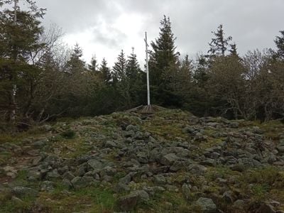
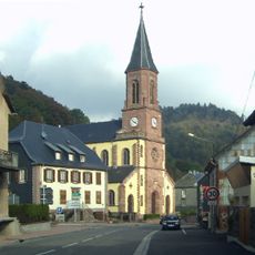
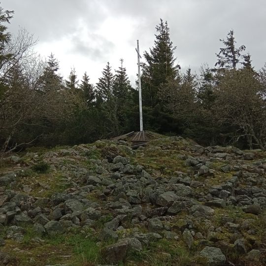
Tête des Faux is a summit in the Vosges, on the boundary of Orbey, Le Bonhomme and Lapoutroie in the Haut-Rhin. Its bedrock is early anatectic granite, and the summit area is a rocky, uneven mound of grey stones and low grass. The mountain rises above the surrounding valleys, and the GR 5 long-distance footpath crosses the summit.
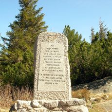
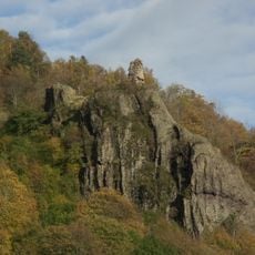
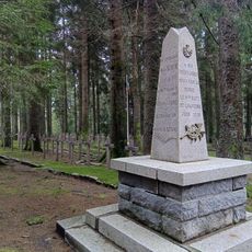
The summit lay directly on the front line in the First World War, and the mountain was fought over because of its exposed position and the view it gave. Remains of firing positions and bunkers are still visible in the summit area, and on the Roche du Corbeau to the east stands the former upper station of a cable car that carried material up from Lapoutroie. The military remains and the cable-car station have been listed as a monument historique since 1932.
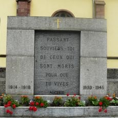
The summit's name, Buchenkopf in German, refers to the beech trees of the Vosges. The front line ran directly over the summit, and the French military cemetery "Cimetière Duchesne" lies just west of the top; the German cemetery further east was closed and its remains moved to the Collet du Linge. The summit area, the Roche du Corbeau and the former cable-car station have been listed as a monument historique since 1932.
Hikers can reach the summit using marked trails that take about two hours and gain roughly 500 meters of elevation. Proper footwear is important, and checking weather conditions beforehand is wise since conditions at higher altitude change rapidly.
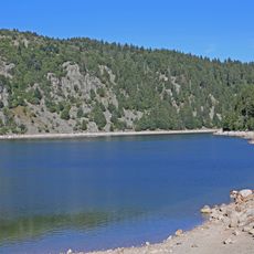
The Étang du Devin lies on the north-east slope of the summit. It is a peat bog formed after a glacier melted during the Würm glaciation. The site was discovered in 1442, used as pasture in the 18th century, then exploited in the 19th century as fuel for growing industry.
The community of curious travelers
AroundUs brings together thousands of curated places, local tips, and hidden gems, enriched daily by 94,485 contributors worldwide.