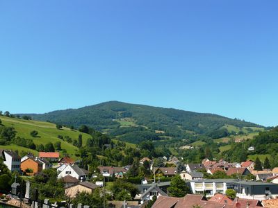
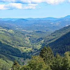
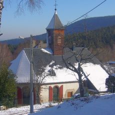
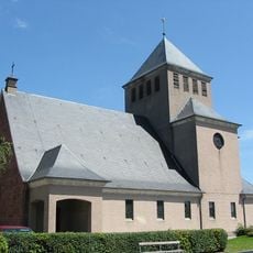
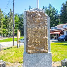
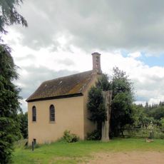
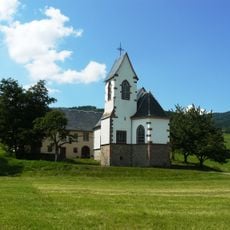
Lapoutroie, commune in Haut-Rhin, France
Location: Haut-Rhin
Location: arrondissement of Colmar-Ribeauvillé
Industry: administration publique générale
Shares border with: Labaroche, Orbey, Le Bonhomme, Sainte-Marie-aux-Mines, Fréland, Kaysersberg, Kaysersberg Vignoble
Phone: +33389475010
Email: mairie@lapoutroie.fr
Website: http://lapoutroie.fr
GPS coordinates: 48.15250,7.16944
Latest update: May 25, 2025 19:25
Route des Crêtes
14.3 km
Lac Blanc
6.5 km
Pairis Abbey
5 km
Tête des Faux
4 km
Tête-des-Faux Battlefield
3.9 km
Alspach Priory
4.9 km
Tellure
7.2 km
Musée des Eaux de Vie
465 m
Château de Gutenbourg
4 km
Mount Neuenberg silver mines
6.3 km
Carrefour Duchesne National Cemetery
4.6 km
Église Sainte-Madeleine de Sainte-Marie-aux-Mines
10.5 km
Église Sainte-Odile de Lapoutroie
125 m
Église Saint-Jacques-le-Majeur d'Aubure
6.4 km
Lac Blanc Parc d'Aventures
5.9 km
Temple protestant
6.8 km
Église Saint-Urbain d'Orbey
3 km
Notre Dame de l'Assomption, Fréland
2.6 km
Town hall of Orbey
3 km
Église Saint-Nicolas du Bonhomme
4.7 km
Église Saint-Joseph de Labaroche
5.1 km
Stèle du général Bataille
6.8 km
Chapelle Saint-Wandrille de Labaroche
4.6 km
Église Saint-Michel de Basse-Baroche
5.4 km
Chapelle Saint-Alexis de Saint-Alexis
7 km
Église Sainte-Richarde d'Hachimette
1.6 km
Chapelle Saint-Genest du Creux d'Argent
3.5 km
Chapelle Saint-Thiébaut de Fréland
3.1 kmReviews
Visited this place? Tap the stars to rate it and share your experience / photos with the community! Try now! You can cancel it anytime.
Discover hidden gems everywhere you go!
From secret cafés to breathtaking viewpoints, skip the crowded tourist spots and find places that match your style. Our app makes it easy with voice search, smart filtering, route optimization, and insider tips from travelers worldwide. Download now for the complete mobile experience.
A unique approach to discovering new places❞
— Le Figaro
All the places worth exploring❞
— France Info
A tailor-made excursion in just a few clicks❞
— 20 Minutes