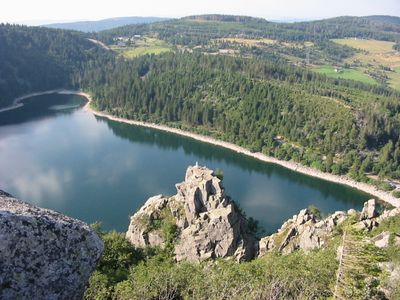
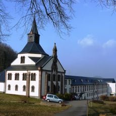
Lac Blanc, Mountain lake in Vosges, France
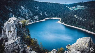
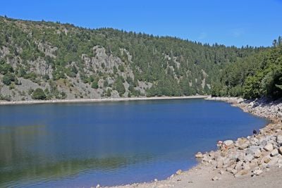
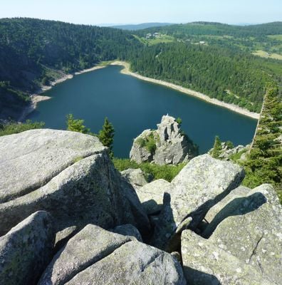
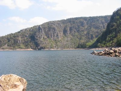
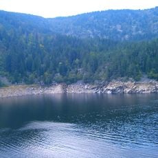
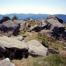
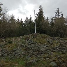
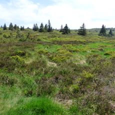
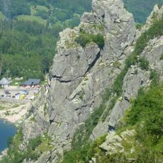
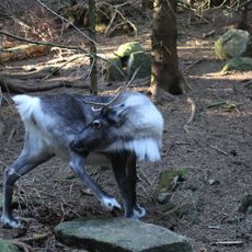
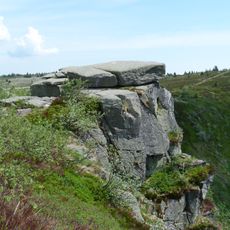
Lac Blanc sits at approximately 1055 meters elevation and is surrounded by granite rock formations and pine forests in the northern Vosges Mountains. The lake is connected by hiking trails that alternate between steep climbs and level stretches, offering different views across the mountainous landscape.
Development as a tourist destination began in the early 20th century when mountaineering clubs established marked trails and shelters in the area. This early infrastructure laid the foundation for today's use as a popular hiking destination.
Local hiking groups maintain a network of color-coded trails around the lake using traditional Vosgian Club marking methods that have been passed down over generations. Visitors encounter other hikers who walk these established paths and participate in the local mountaineering culture.
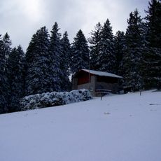
The lake is accessible year-round, though spring through autumn offers the best hiking conditions when snow does not block the higher trails. Good hiking boots are important, as paths become slippery on steep sections, especially after rain or wet weather.
On clear days, views from the lake extend across the Alsace Plain to the distant Alpine peaks on the horizon. These rare moments offer one of the widest vistas available from anywhere in the Vosges range.
The community of curious travelers
AroundUs brings together thousands of curated places, local tips, and hidden gems, enriched daily by 60,000 contributors worldwide.