Réserve naturelle nationale du Tanet-Gazon du Faing, Protected natural area in Vosges Mountains, France
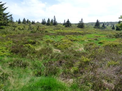
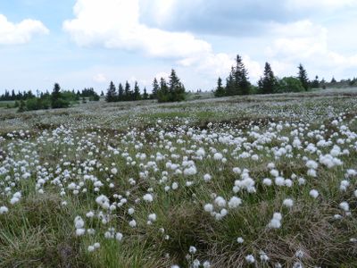
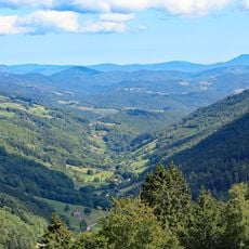
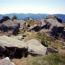
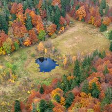
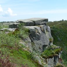
Réserve naturelle nationale du Tanet-Gazon du Faing is a protected area in the Vosges covering 505 hectares with high-altitude grasslands, peat bogs, and mountain forests at elevations between 1160 and 1306 meters. The terrain displays the typical features of this mountain zone with open meadows, wetland areas, and forested sections.
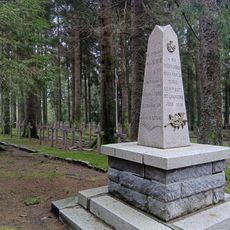
This protected land was established as a national nature reserve in 1988 to safeguard the distinctive mountain ecosystems found in the Vosges region. The designation reflected the ecological importance of these high-altitude environments and their need for protection.
Local people call the wild blueberries found across this land 'brimbelles', connecting them to regional food traditions and mountain farming practices. These berries are woven into how residents experience and value their surroundings.
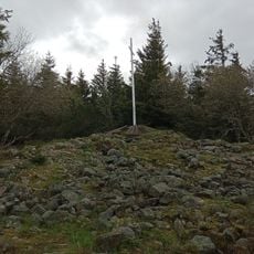
An educational trail of about 1.9 kilometers starts at the Gazon du Faing farm and winds through the reserve with marked sections. Some areas are open to visitors while other zones remain restricted to protect the wildlife that lives there.
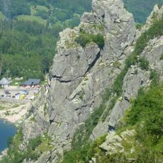
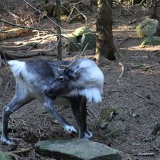
The reserve is home to over 500 plant species including rare mosses, lichens, and ferns that together document the biological variety found at this elevation. Peregrine falcons nest in the granite cliffs and hunt above the Alsace valley, an uncommon sight in this area.
The community of curious travelers
AroundUs brings together thousands of curated places, local tips, and hidden gems, enriched daily by 60,000 contributors worldwide.