Le Tanet, Mountain viewpoint in Vosges, France
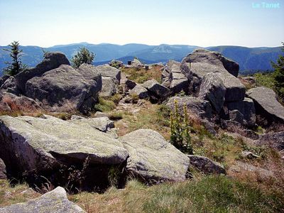
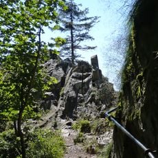
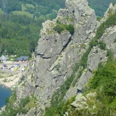
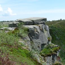
Le Tanet is a mountain in the Vosges with a summit around 1290 meters elevation composed of granite rock formations. The site connects to hiking trails that link with the longer GR 5 long-distance path system.
The mountain formed as part of the ancient Vosges range millions of years ago through geological processes that created its distinctive granite character throughout the highlands.
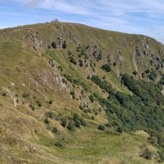
The summit forms a natural boundary that locals recognize as a dividing line between two neighboring regions, giving it meaning as a geographic landmark in regional identity.
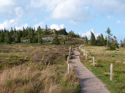
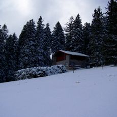
Access to the summit works best from the ski slope route beginning at Auberge du Tanet-Seelstädtle, which remains open as a hiking trail during warmer months. Snow conditions in winter can affect travel difficulty and visibility on the upper sections.
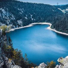
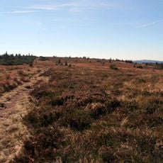
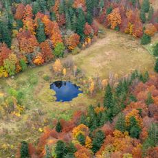
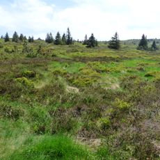
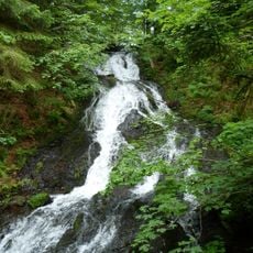
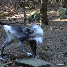
Between this mountain and the adjacent Gazon de Faîte lies a protected raised bog featuring specialized plants and wildlife that creates an important ecological zone often overlooked by passing hikers.
Location: Vosges
Elevation above the sea: 1,292 m
Made from material: granite
Website: http://geodesie.ign.fr/fiches/index.php?module=e&action=fichepdf&source=carte&sit_no=6831704
GPS coordinates: 48.08362,7.05214
Latest update: December 12, 2025 17:40
Hohneck
5.8 km
Lac Blanc
5.6 km
Lac Noir
4.6 km
Sentier des Roches
4 km
Gazon du Faing
3.9 km
Charlemagne waterfall
5.7 km
Jardin d'altitude du Haut Chitelet
4.7 km
Réserve naturelle nationale de Frankenthal-Missheimle
3.4 km
Réserve naturelle nationale du Tanet-Gazon du Faing
3 km
Cascade du Rudlin
3.1 km
Rocher Hans
5.2 km
Wettstein National Cemetery
4.9 km
Cascade de Retournemer
5.9 km
La Ferme Aux Rennes
784 m
Martinswand
4.9 km
Église Saint-Sylvestre du Valtin
2.8 km
Chapelle Saint-Jean-Baptiste du Rudlin
3.8 km
Lac Blanc Parc d'Aventures
6.3 km
Taubenklangfelsen
3 km
Église Marie-Auxiliatrice de Stosswihr
4.8 km
Église protestante de Stosswihr
5 km
Mairie de Stosswihr
5.1 km
Chapelle Sainte-Barbe des Hautes Huttes
4.7 km
Chalet du Gaertlesrain
1.5 km
Mairie-école de Hohrod
6.3 km
Temple protestant de Soultzeren
4.5 km
Fontaine de la rue Principale
6.3 km
Croix Marchal
249 mVisited this place? Tap the stars to rate it and share your experience / photos with the community! Try now! You can cancel it anytime.
Discover hidden gems everywhere you go!
From secret cafés to breathtaking viewpoints, skip the crowded tourist spots and find places that match your style. Our app makes it easy with voice search, smart filtering, route optimization, and insider tips from travelers worldwide. Download now for the complete mobile experience.
A unique approach to discovering new places❞
— Le Figaro
All the places worth exploring❞
— France Info
A tailor-made excursion in just a few clicks❞
— 20 Minutes