Enable Location

We need your location to show you interesting places around you

Discover nearby places

Find interesting locations and hidden gems around you

Precise directions

Get accurate directions and distances to places

Your location is never shared with other users. It's only used when you tap the location button.

Sentier des Roches

Log in to your account

Start exploring — it's free

Trusted by 62,496 travelers worldwide

Continue with Google
Continue with Apple
or

We will send you a code to connect

By continuing, you accept our Terms and Conditions and our Privacy Policy

Check your inbox

We've sent a pincode in your inbox. Please enter the code below.

Sentier des Roches

Sentier des Roches, Alpine hiking trail in Vosges Mountains, France

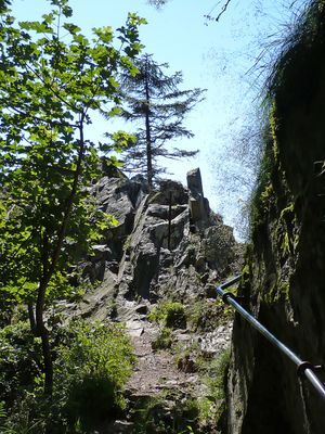
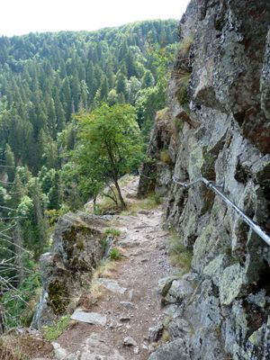
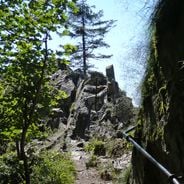
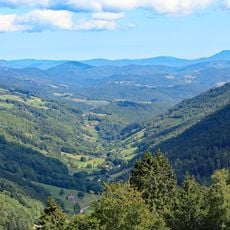
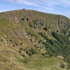
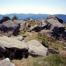
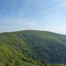
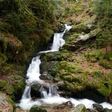
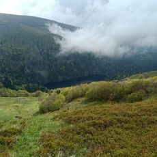
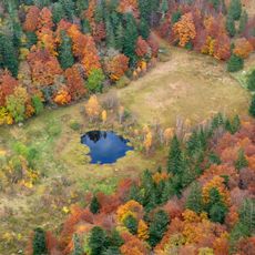
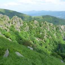
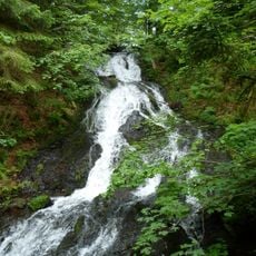
Sentier des Roches is a hiking trail through granite cliffs and rock formations in the Vosges Mountains with narrow passages carved into the rock. The route winds through various viewpoints and connects different areas of the Haut-Rhin region.

The path was established in 1910 by the Munster branch of Club Vosgien, with workers cutting sections directly through the rock to build the route. This creation reflects early efforts to open mountain areas to hikers.

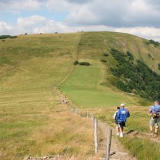
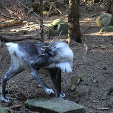
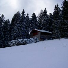
The trail passes traditional dairy farms where Vosges cattle graze freely, maintaining mountain farming practices passed down through generations. These working farms show how shepherds and farmers continue their way of life in the heights.

The trail requires solid footing and a comfortable head for heights, particularly on steep sections secured with metal cables. Best conditions for walking are from May through October when the ground is dry.

A natural rock tunnel cuts through the mountain ridge, allowing hikers to pass through from one side to the other with daylight filtering in from both ends. This underground passage is a rare experience on mountain trails and creates a memorable moment.

The community of curious travelers

AroundUs brings together thousands of curated places, local tips, and hidden gems, enriched daily by 60,000 contributors worldwide.

Start exploring
GPS coordinates
48.05320,7.02300
Latest update
December 6, 2025 17:41
Historical sites and gardens in Alsace

Alsace has preserved its historical structures through the centuries. The region extends from Rhine valley vineyards to forested Vosges heights and displays its past through castles, abbeys and museums. Château du Haut-Kœnigsbourg stands above the Rhine plain, while Fort de Mutzig demonstrates early...

Hidden places of Grand Est: medieval forts, Renaissance castles and forgotten abbeys

The Grand Est displays a rich architectural and military heritage, from fortified structures like the Fort of Mutzig and the La Ferté ouvrage on the Maginot Line, to princely residences such as Château de Lunéville with its French gardens. The region also preserves religious sites like the Abbey of...

« Sentier des Roches - Alpine hiking trail in Vosges Mountains, France » is provided by Around Us (aroundus.com). Images and texts are derived from Wikimedia project under a Creative Commons license. You are allowed to copy, distribute, and modify copies of this page, under the conditions set by the license, as long as this note is clearly visible.

Discover hidden gems everywhere you go!

From secret cafés to breathtaking viewpoints, skip the crowded tourist spots and find places that match your style. Our app makes it easy with voice search, smart filtering, route optimization, and insider tips from travelers worldwide. Download now for the complete mobile experience.

Around Us App Screenshot

A unique approach to discovering new places

Le Figaro

All the places worth exploring

France Info

A tailor-made excursion in just a few clicks

20 Minutes

Around Us
Travel Guide & Maps
Download

Send to your phone

QR Code
1

Open the camera app on your mobile.

2

Point at the QR code with your camera. A notification will appear.

3

Tap the notification to open the link.