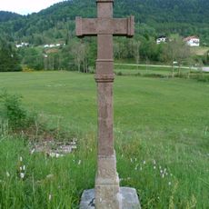
Rainkopf, mountain summit in the Vosges, France
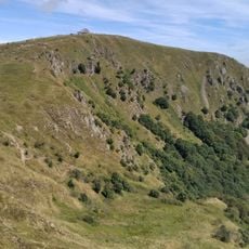
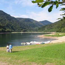
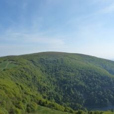
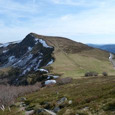
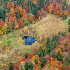
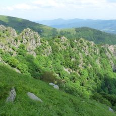
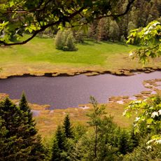
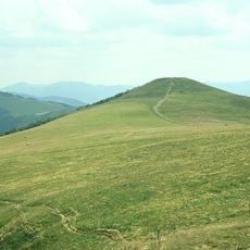
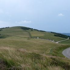
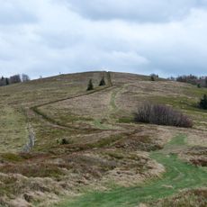
Rainkopf is a rounded granite summit in the Vosges, reaching 1305 metres between the Kastelberg to the north and the Rothenbachkopf to the south, on the communes of Metzeral, Wildenstein and La Bresse. Its eastern flank is an old glacial cirque, steep and wild, while the crest opens onto the Route des Crêtes.
The mountain marked a border point between Alsace and Lorraine for centuries, though territorial boundaries shifted at different times. The Vosges served as a natural dividing line between different political regions across various historical periods.
The name comes from German language roots and reflects the mixed French-German heritage of the Vosges region. Visitors notice this cultural blend in the place names and speech of local communities in this border area.
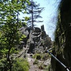
Several marked hiking trails lead from La Bresse and Metzeral toward the summit, offering different difficulty levels. The Route des Crêtes also allows vehicle access to nearby points, from which shorter paths branch toward the peak.
The summit marks the exact point where the Vosges chain splits in two: one branch arcs southeast to the Grand Ballon, the other runs south to the Ballon d'Alsace. Between them lies the deep trench of the Thur valley, and beyond the Grand Ventron the gentler Lorraine slope comes into view.
The community of curious travelers
AroundUs brings together thousands of curated places, local tips, and hidden gems, enriched daily by 94,466 contributors worldwide.