Enable Location

We need your location to show you interesting places around you

Discover nearby places

Find interesting locations and hidden gems around you

Precise directions

Get accurate directions and distances to places

Your location is never shared with other users. It's only used when you tap the location button.

La Bresse

Log in to your account

Start exploring — it's free

Trusted by 61,909 travelers worldwide

Continue with Google
Continue with Apple
or

We will send you a code to connect

By continuing, you accept our Terms and Conditions and our Privacy Policy

Check your inbox

We've sent a pincode in your inbox. Please enter the code below.

La Bresse, Mountain commune in Vosges, France.

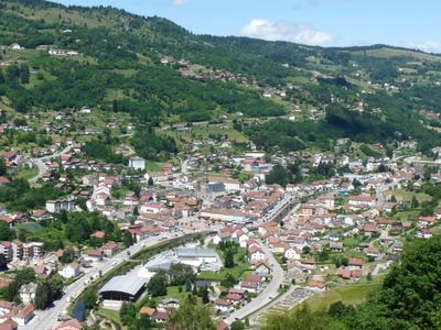
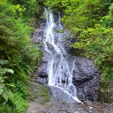
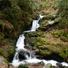
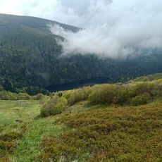
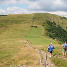
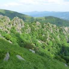
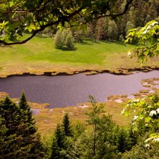
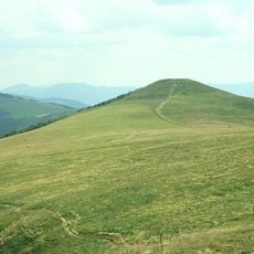
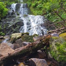
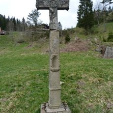
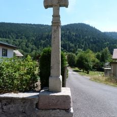
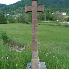
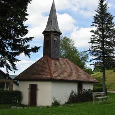
La Bresse is a mountain commune in the Vosges region of northeastern France, nestled in the Moselotte River valley at an elevation of approximately 635 meters (2,083 feet). The village sits within a landscape of about 157 square kilometers, characterized by forested hills and a rural setting.

The commune suffered severe destruction from artillery fire in 1944 during World War II, with much of the town center devastated by combat. Residents evacuated during the fighting and remained displaced until French forces arrived to liberate the area.

The municipal council established in 2002 includes children representatives from local schools who participate in community decisions and project planning.

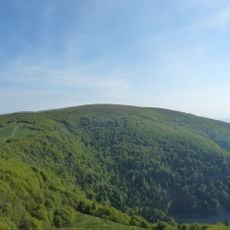
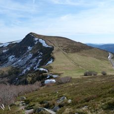
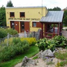
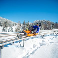
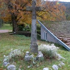
The village is accessible by road through the Vosges region and offers basic services for visitors and residents. The area is suitable for hiking and exploring the forested mountain landscape.

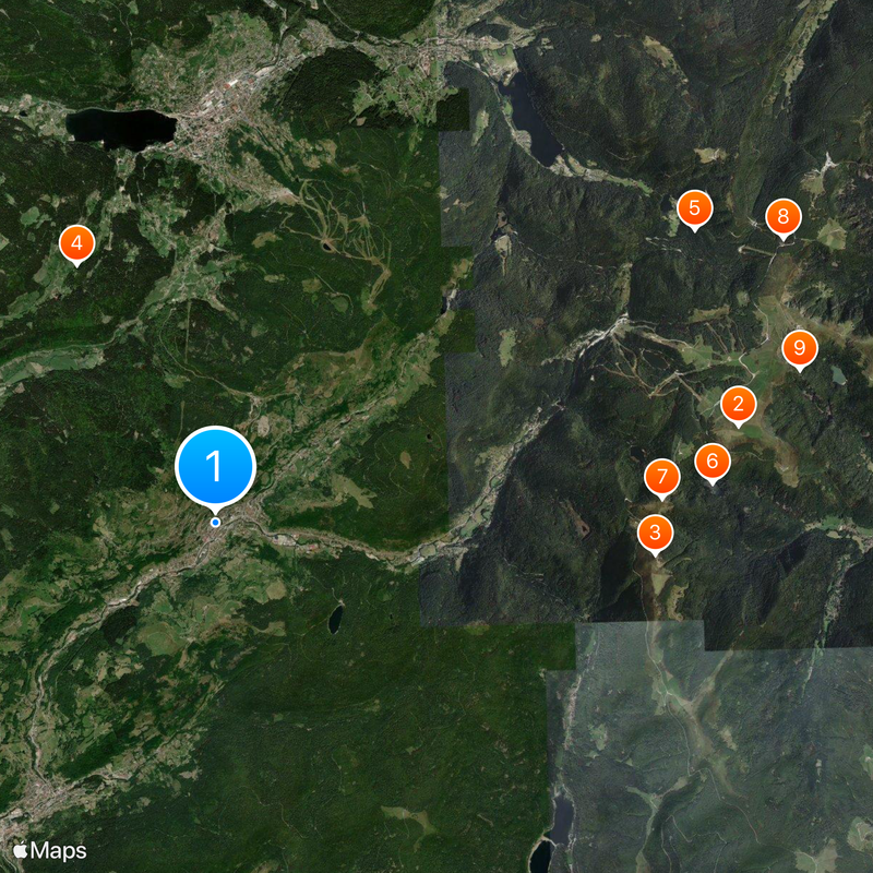
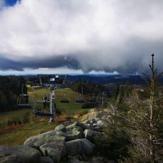
The municipal forest extends across approximately 3,000 hectares, making it the largest communal forest in the Vosges department. This vast woodland ownership shapes the landscape and provides land for forest management and nature activities.

The community of curious travelers

AroundUs brings together thousands of curated places, local tips, and hidden gems, enriched daily by 60,000 contributors worldwide.

Start exploring
Location
Elevation above the sea
941 m
Shares border with
Xonrupt-Longemer, Rochesson, Metzeral, Stosswihr, Wildenstein, Cornimont, Gérardmer
Phone
GPS coordinates
48.00583,6.87583
Latest update
December 20, 2025 13:17
« La Bresse - Mountain commune in Vosges, France » is provided by Around Us (aroundus.com). Images and texts are derived from Wikimedia project under a Creative Commons license. You are allowed to copy, distribute, and modify copies of this page, under the conditions set by the license, as long as this note is clearly visible.

Discover hidden gems everywhere you go!

From secret cafés to breathtaking viewpoints, skip the crowded tourist spots and find places that match your style. Our app makes it easy with voice search, smart filtering, route optimization, and insider tips from travelers worldwide. Download now for the complete mobile experience.

Around Us App Screenshot

A unique approach to discovering new places

Le Figaro

All the places worth exploring

France Info

A tailor-made excursion in just a few clicks

20 Minutes

Around Us
Travel Guide & Maps
Download

Send to your phone

QR Code
1

Open the camera app on your mobile.

2

Point at the QR code with your camera. A notification will appear.

3

Tap the notification to open the link.