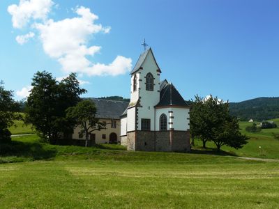
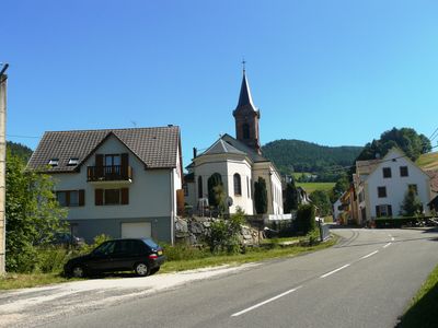
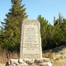
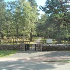
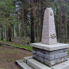
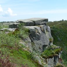
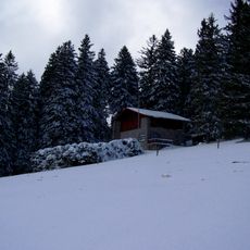
Orbey, commune in Haut-Rhin, France
Location: canton of Lapoutroie
Location: Haut-Rhin
Location: arrondissement of Colmar-Ribeauvillé
Elevation above the sea: 500 m
Industry: administration publique générale
Shares border with: Wihr-au-Val, Labaroche, Luttenbach-près-Munster, Gunsbach, Le Bonhomme, Lapoutroie, Plainfaing, Hohrod, Soultzeren
Phone: +33389712007
Email: mairie@orbey.fr
Website: http://orbey.fr
GPS coordinates: 48.12639,7.16083
Latest update: June 6, 2025 05:51
Lac Blanc
5.2 km
Lac Noir
5 km
Linge Memorial
5 km
Gazon du Faing
6.2 km
Pairis Abbey
2.7 km
Tête des Faux
4.6 km
Réserve naturelle nationale du Tanet-Gazon du Faing
7.3 km
Château de Hohenack
4 km
Rocher Hans
5.1 km
Tête-des-Faux Battlefield
4.5 km
Wettstein National Cemetery
5.3 km
Hohrod German war cemetery
5.4 km
Musée des Eaux de Vie
3.3 km
Château de Gutenbourg
5.6 km
Carrefour Duchesne National Cemetery
4.7 km
Église Sainte-Odile de Lapoutroie
2.9 km
Lac Blanc Parc d'Aventures
4.8 km
Église Saint-Urbain d'Orbey
228 m
Taubenklangfelsen
7 km
Champ de bataille du Linge
5 km
Église Saint-Joseph de Labaroche
3.1 km
Chalet du Gaertlesrain
7.9 km
Town hall of Orbey
56 m
Chapelle Sainte-Barbe des Hautes Huttes
4.8 km
Église Sainte-Catherine des Basses-Huttes
3.7 km
Wood museum of Labaroche
3.3 km
Chapelle Saint-Wandrille de Labaroche
2.8 km
Église Sainte-Richarde d'Hachimette
3.2 kmReviews
Visited this place? Tap the stars to rate it and share your experience / photos with the community! Try now! You can cancel it anytime.
Discover hidden gems everywhere you go!
From secret cafés to breathtaking viewpoints, skip the crowded tourist spots and find places that match your style. Our app makes it easy with voice search, smart filtering, route optimization, and insider tips from travelers worldwide. Download now for the complete mobile experience.
A unique approach to discovering new places❞
— Le Figaro
All the places worth exploring❞
— France Info
A tailor-made excursion in just a few clicks❞
— 20 Minutes