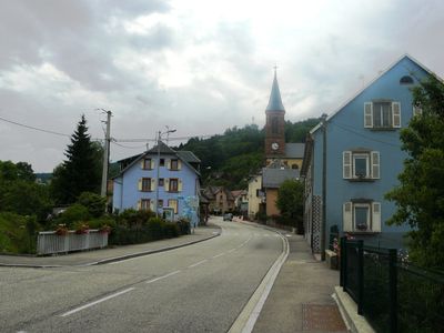
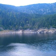
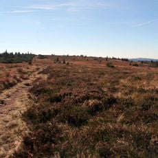
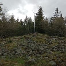
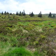
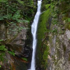
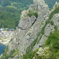
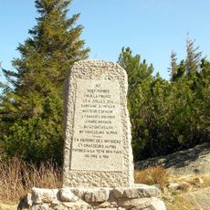
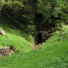
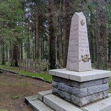
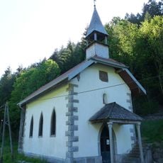
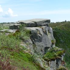
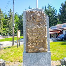
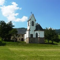
Le Bonhomme, commune in Haut-Rhin, France
Location: arrondissement of Colmar-Ribeauvillé
Elevation above the sea: 924 m
Shares border with: Orbey, Lapoutroie, Sainte-Marie-aux-Mines, Plainfaing, La Croix-aux-Mines, Fraize
Phone: +33389475103
Email: mairie-du-bonhomme@orange.fr
Website: http://lebonhomme.fr
GPS coordinates: 48.17250,7.11333
Latest update: May 29, 2025 04:59
Lac Blanc
5.4 km
Lac Noir
6.8 km
Gazon du Faing
7 km
Pairis Abbey
6.2 km
Tête des Faux
2 km
Réserve naturelle nationale du Tanet-Gazon du Faing
7.9 km
Cascade du Rudlin
8.5 km
Rocher Hans
5.8 km
Tête-des-Faux Battlefield
2 km
Tellure
4.9 km
Église Saint-Nicolas de Plainfaing
7.3 km
Musée des Eaux de Vie
4.3 km
Château de Gutenbourg
709 m
Mount Neuenberg silver mines
4.6 km
Carrefour Duchesne National Cemetery
2.7 km
Église Sainte-Odile de Lapoutroie
4.6 km
Chapelle Saint-Marc du Chipal
6.1 km
Chapelle Saint-Jean-Baptiste du Rudlin
8.2 km
Lac Blanc Parc d'Aventures
4.6 km
Église Saint-Urbain d'Orbey
6.4 km
Taubenklangfelsen
7.9 km
Notre Dame de l'Assomption, Fréland
5.9 km
Église Saint-Nicolas du Bonhomme
72 m
Town hall of Orbey
6.2 km
Stèle du général Bataille
2.6 km
French-American Memorial Col des Journaux
7 km
Église Sainte-Richarde d'Hachimette
6.3 km
Chapelle Saint-Genest du Creux d'Argent
5.4 kmVisited this place? Tap the stars to rate it and share your experience / photos with the community! Try now! You can cancel it anytime.
Discover hidden gems everywhere you go!
From secret cafés to breathtaking viewpoints, skip the crowded tourist spots and find places that match your style. Our app makes it easy with voice search, smart filtering, route optimization, and insider tips from travelers worldwide. Download now for the complete mobile experience.
A unique approach to discovering new places❞
— Le Figaro
All the places worth exploring❞
— France Info
A tailor-made excursion in just a few clicks❞
— 20 Minutes