
Linsdorf, commune in Haut-Rhin, France
Location: canton of Ferrette
Location: Haut-Rhin
Location: arrondissement of Altkirch
Industry: administration publique générale
Shares border with: Muespach-le-Haut, Folgensbourg, Bettlach, Oltingue, Fislis
GPS coordinates: 47.50500,7.39694
Latest update: April 16, 2025 12:44
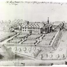
Prieuré Saint-Apollinaire
6.2 km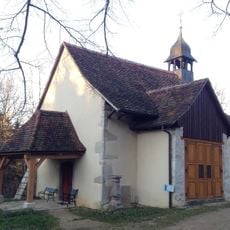
Chapelle Saint-Brice d'Oltingue
2.4 km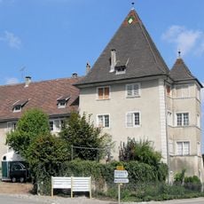
Château de la famille d'Eplingen
6.4 km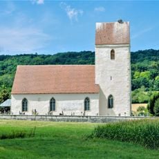
Chapelle Saint-Martin d'Oltingue
2.5 km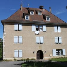
Ancien manoir de Flaxlanden
5.3 km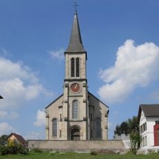
Église Saint-Pierre et Saint-Paul de Hagenthal-le-Bas
6.3 km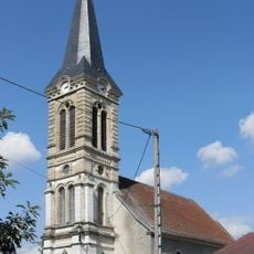
Église Saint-Léger de Fislis
1.2 km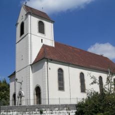
Église Saint-Blaise
697 m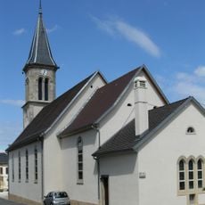
Église Saint-Georges de Muespach-le-Haut
4.5 km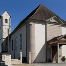
Église Saint-Jacques-le-Majeur
3.9 km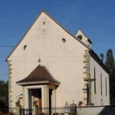
Église Saint-Léger de Lutter
4.4 km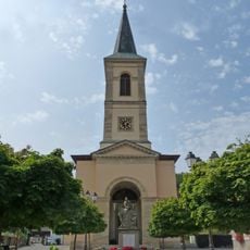
Église Saint-Martin d'Oltingue
1.5 km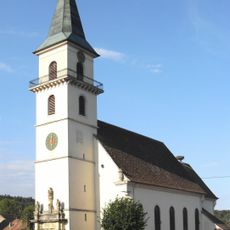
Église Saint-Étienne de Raedersdorf
4 km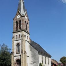
Église Saint-Marc de Liebenswiller
4.4 km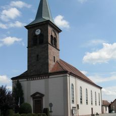
Église Saint-Blaise de Muespach
5 km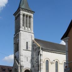
Église Saint-Wendelin de Werentzhouse
3.3 km
Golf Saint Apollinaire
6.1 km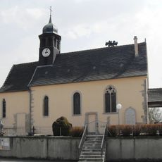
Église Saint-Jacques-le-Majeur de Knœringue
6.5 km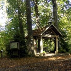
Chapelle des Trois-Vierges de Wentzwiller
6.3 km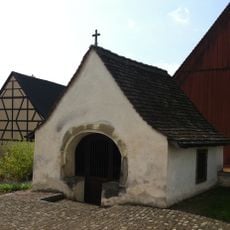
Ossuary
5.2 km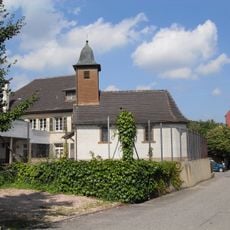
Chapelle Sainte-Catherine d'Hagenthal-le-Haut
5.6 km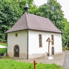
Chapelle Sainte-Walburge de Heiligenbrunn
5.4 km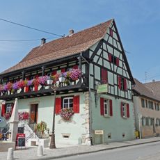
Musée paysan d'Oltingue
1.4 km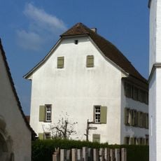
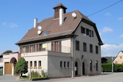
Rectory
5.2 km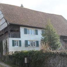
Fideikommis Marx Aeschi (Guidem House) with shed
5.3 km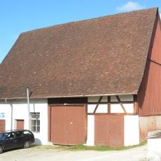
Parish barn
5.2 km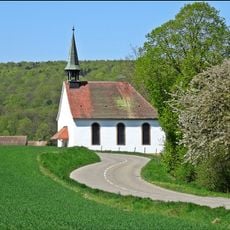
Chapelle Mariabrunn de Raedersdorf
4.2 km
Altermatthof
5.2 kmReviews
Visited this place? Tap the stars to rate it and share your experience / photos with the community! Try now! You can cancel it anytime.
Discover hidden gems everywhere you go!
From secret cafés to breathtaking viewpoints, skip the crowded tourist spots and find places that match your style. Our app makes it easy with voice search, smart filtering, route optimization, and insider tips from travelers worldwide. Download now for the complete mobile experience.

A unique approach to discovering new places❞
— Le Figaro
All the places worth exploring❞
— France Info
A tailor-made excursion in just a few clicks❞
— 20 Minutes