Enable Location

We need your location to show you interesting places around you

Discover nearby places

Find interesting locations and hidden gems around you

Precise directions

Get accurate directions and distances to places

Your location is never shared with other users. It's only used when you tap the location button.

Ploërmel

Log in to your account

Start exploring — it's free

Trusted by 61,443 travelers worldwide

Continue with Google
Continue with Apple
or

We will send you a code to connect

By continuing, you accept our Terms and Conditions and our Privacy Policy

Check your inbox

We've sent a pincode in your inbox. Please enter the code below.

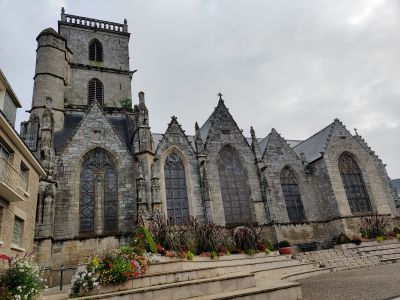
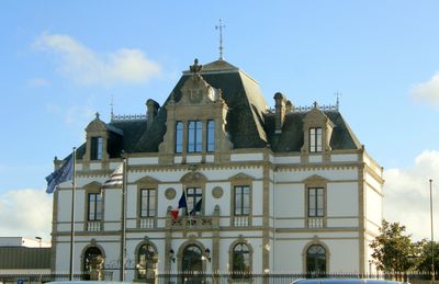
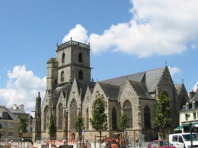
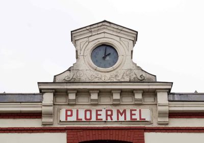
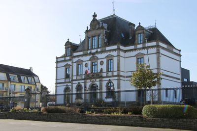
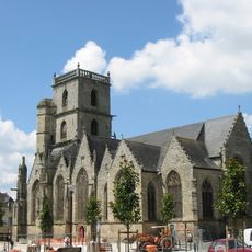
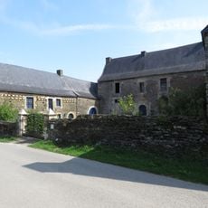
Ploërmel, Administrative commune in Morbihan, France

Description

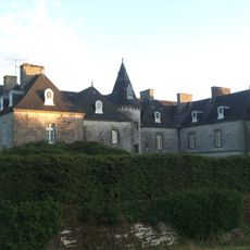
Ploërmel is a commune in Brittany, located in the Morbihan department of northwestern France. The town sits at an elevation of approximately 75 meters and today includes the former territory of Monterrein, which merged with it in 2019.

History

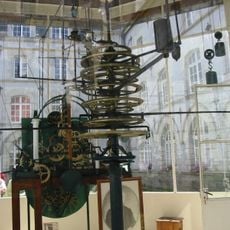
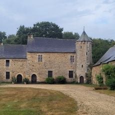
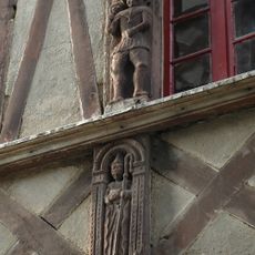
The town became important in 1351 during the Breton War of Succession when the English-backed Montfort faction took control. This event shaped the area's early medieval history.

Culture

The carnival held here in May is one of the largest celebrations in the region and shapes the town's community life. Local residents and visitors gather to participate in this long-standing festive tradition.

Practical

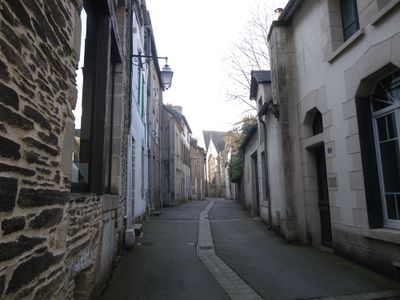
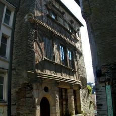
The area is best explored on foot, since most places are relatively close together and streets are manageable. Visitors should note that the warmer months offer the best time for exploring, when shops and attractions are regularly open.

Did you know?

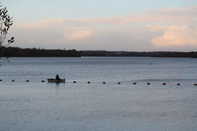
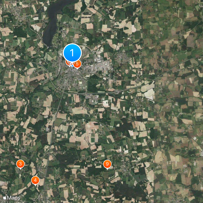
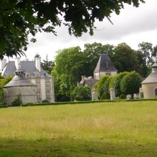
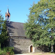
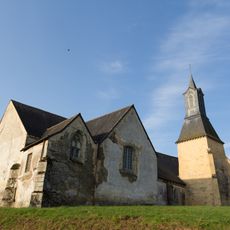
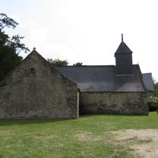
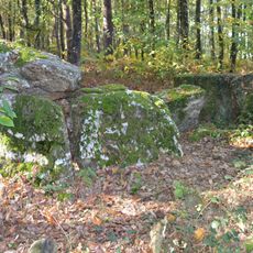
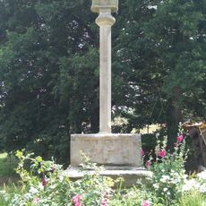
The town sits at the edge of the Brocéliande forest, which features prominently in legends of the wizard Merlin and draws many visitors. The place is also home to a monastic community known as the Brothers of Ploërmel, who maintain their traditions to this day.

Location
Location
Ploërmel Communauté
Inception
January 1, 2019
Elevation above the sea
75 m
Shares border with
Loyat, Campénéac, Gourhel, Augan, Montertelot, Guillac, Taupont, Val d'Oust, Caro
Address
56800 Ploërmel, France
GPS coordinates
47.93167,-2.39750
Latest update
December 14, 2025 20:40

AroundUs brings together thousands of curated places, local tips, and hidden gems, enriched daily by 60,000 contributors worldwide. Discover all places nearby (Morbihan).

« Ploërmel - Administrative commune in Morbihan, France » is provided by Around Us (aroundus.com). Images and texts are derived from Wikimedia project under a Creative Commons license. You are allowed to copy, distribute, and modify copies of this page, under the conditions set by the license, as long as this note is clearly visible.

Discover hidden gems everywhere you go!

From secret cafés to breathtaking viewpoints, skip the crowded tourist spots and find places that match your style. Our app makes it easy with voice search, smart filtering, route optimization, and insider tips from travelers worldwide. Download now for the complete mobile experience.

Around Us App Screenshot

A unique approach to discovering new places

Le Figaro

All the places worth exploring

France Info

A tailor-made excursion in just a few clicks

20 Minutes

Around Us
Travel Guide & Maps
Download

Send to your phone

QR Code
1

Open the camera app on your mobile.

2

Point at the QR code with your camera. A notification will appear.

3

Tap the notification to open the link.