Enable Location

We need your location to show you interesting places around you

Discover nearby places

Find interesting locations and hidden gems around you

Precise directions

Get accurate directions and distances to places

Your location is never shared with other users. It's only used when you tap the location button.

Montbéliard

Log in to your account

Start exploring — it's free

Trusted by 61,551 travelers worldwide

Continue with Google
Continue with Apple
or

We will send you a code to connect

By continuing, you accept our Terms and Conditions and our Privacy Policy

Check your inbox

We've sent a pincode in your inbox. Please enter the code below.

Montbéliard, Historical commune in Doubs, France.

Description

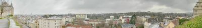
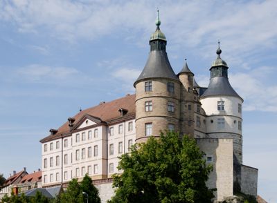
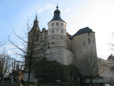
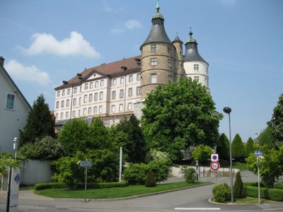
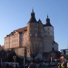
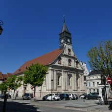
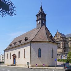
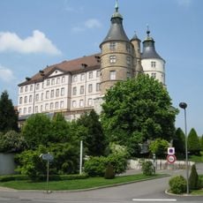
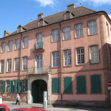
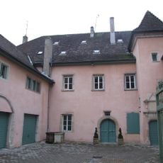
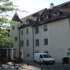
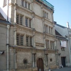
Montbéliard is a commune in the Doubs department of the Bourgogne-Franche-Comté region, near the Swiss border in eastern France. The old town sits between two river arms and is overlooked by a hilltop castle made of pink sandstone.

History

The area became a county of the Holy Roman Empire in 1033 and belonged to Württemberg rule for more than five centuries. French troops occupied the town in 1793 during the Revolutionary Wars, with annexation following three years later.

Culture

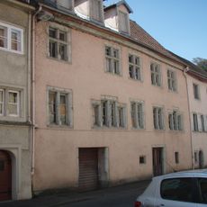
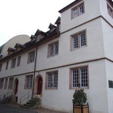
The name recalls the long connection to the House of Württemberg, still visible in the urban layout today. Visitors notice half-timbered houses and towers typical of regions east of the Rhine, less common in eastern France.

Practical

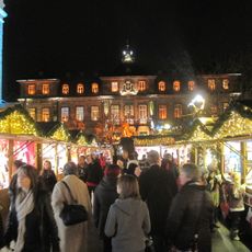
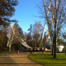
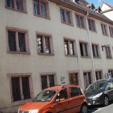
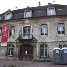
The center can be explored on foot in about two hours, with well-marked paths leading down from the castle to the town. Most shops and services concentrate around the main squares, where cafés and benches offer places to rest.

Did you know?

A fountain in the market square features the reclining lion of Württemberg, while French eagles perch on nearby lampposts. This mix looks unusual at first glance but shows the dual heritage of a town between German empire and French republic.

Location
Location
arrondissement of Montbéliard
Elevation above the sea
348 m
Shares border with
Vyans-le-Val, Allondans, Arbouans, Audincourt, Bethoncourt, Courcelles-lès-Montbéliard, Exincourt, Grand-Charmont, Issans, Laire, Raynans, Sainte-Suzanne, Sochaux, Héricourt
Phone
GPS coordinates
47.51024,6.79776
Latest update
December 13, 2025 15:35

AroundUs brings together thousands of curated places, local tips, and hidden gems, enriched daily by 60,000 contributors worldwide. Discover all places nearby (Doubs).

« Montbéliard - Historical commune in Doubs, France » is provided by Around Us (aroundus.com). Images and texts are derived from Wikimedia project under a Creative Commons license. You are allowed to copy, distribute, and modify copies of this page, under the conditions set by the license, as long as this note is clearly visible.

Discover hidden gems everywhere you go!

From secret cafés to breathtaking viewpoints, skip the crowded tourist spots and find places that match your style. Our app makes it easy with voice search, smart filtering, route optimization, and insider tips from travelers worldwide. Download now for the complete mobile experience.

Around Us App Screenshot

A unique approach to discovering new places

Le Figaro

All the places worth exploring

France Info

A tailor-made excursion in just a few clicks

20 Minutes

Around Us
Travel Guide & Maps
Download

Send to your phone

QR Code
1

Open the camera app on your mobile.

2

Point at the QR code with your camera. A notification will appear.

3

Tap the notification to open the link.