Marmande

Log in to your account

AroundUs is a community-driven map of interesting places, built by curious explorers like you. It grows with every review, story, and photo you share.
Connect to save your favorite spots, contribute locations, and create personalized routes.
Continue with Google
Continue with Apple
Continue with X
Continue with Facebook
Continue with email
By continuing, you accept our Terms and Conditions and our Privacy Policy
Create an account
Add to collection
Map
Suggest a change
Share

Marmande, Administrative center in Lot-et-Garonne, France

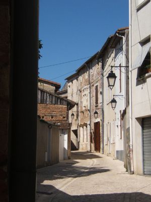
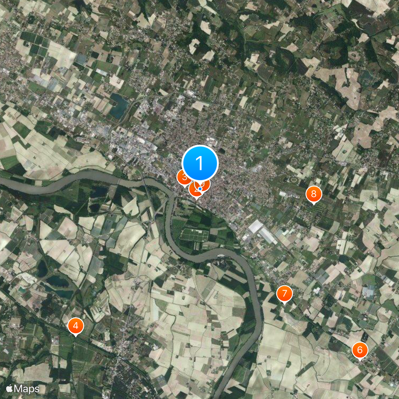
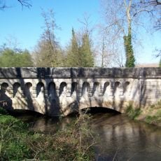
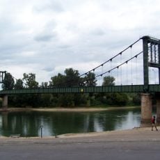
Marmande sits at an elevation of 32 meters (105 feet) at the meeting point of the Trec and Garonne rivers, connected by two bridges and a bypass. The town spreads along both riverbanks and forms a compact center with several residential neighborhoods in the periphery.

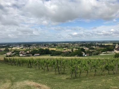
Richard the Lionheart founded the town around 1195 and granted it self-governance, creating a strategic toll point along the Garonne. Over the centuries the place developed into a regional trading center with connections to nearby wine-growing areas.

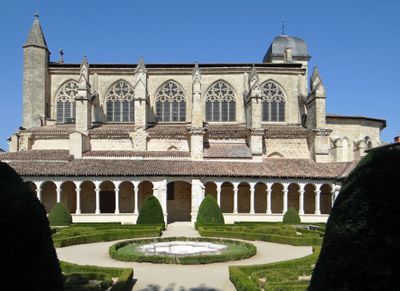
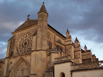
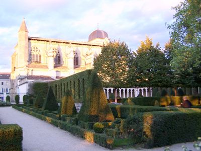
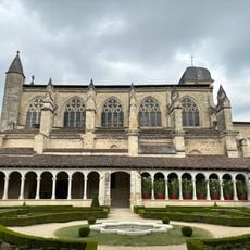
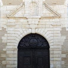
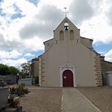
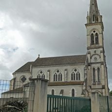
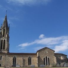
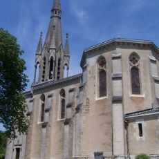
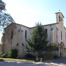
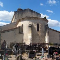
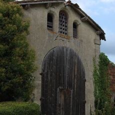
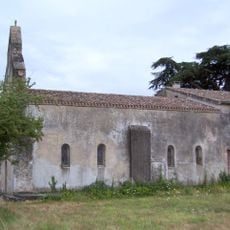
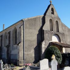
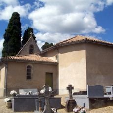
The Notre-Dame church displays architectural elements spanning three centuries, from the 13th to 15th century, with characteristic features of each era throughout its entire structure. Different construction phases left traces in the design of the vaults, windows and facade.

The town maintains multiple recreational facilities, including motorcycle racing tracks that regularly host international competitions. Visitors can check with the tourist information office for ongoing events and regional excursion destinations.

The agricultural sector of the town specializes in tomato cultivation, with an annual festival in July celebrating this farming heritage. The variety of cultivars and the processing of the fruit play an important role for the local economy and identity.

Location: canton of Marmande-Est

Location: canton of Marmande-Ouest

Location: Lot-et-Garonne

Location: arrondissement of Marmande

Inception: February 3, 2003

Elevation above the sea: 42 m

Shares border with: Mauvezin-sur-Gupie, Fourques-sur-Garonne, Gaujac, Beaupuy, Escassefort, Montpouillan, Sainte-Bazeille, Saint-Pardoux-du-Breuil, Virazeil

Website: http://mairie-marmande.fr

GPS coordinates: 44.50000,0.16528

Latest update: December 13, 2025 18:41

Photos
Reviews

Visited this place? Tap the stars to rate it and share your experience / photos with the community! Try now! You can cancel it anytime.

« Marmande - Administrative center in Lot-et-Garonne, France » is provided by Around Us (aroundus.com). Images and texts are derived from Wikimedia project under a Creative Commons license. You are allowed to copy, distribute, and modify copies of this page, under the conditions set by the license, as long as this note is clearly visible.

Discover hidden gems everywhere you go!

From secret cafés to breathtaking viewpoints, skip the crowded tourist spots and find places that match your style. Our app makes it easy with voice search, smart filtering, route optimization, and insider tips from travelers worldwide. Download now for the complete mobile experience.

Around Us App Screenshot

A unique approach to discovering new places

Le Figaro

All the places worth exploring

France Info

A tailor-made excursion in just a few clicks

20 Minutes