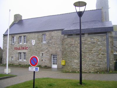
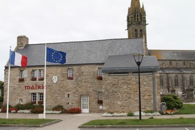
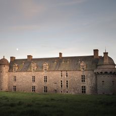
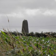
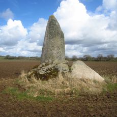
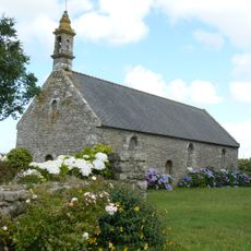
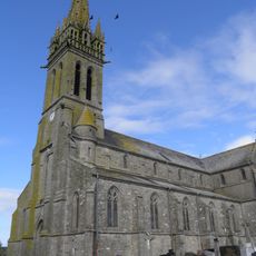
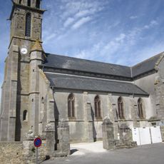
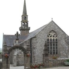
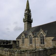
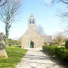
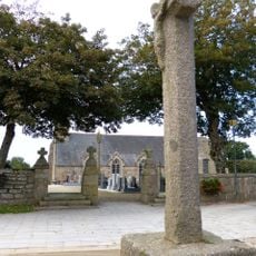
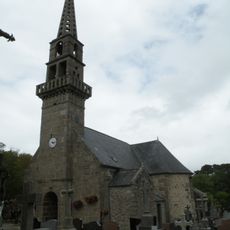
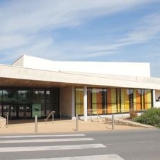
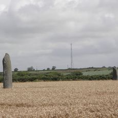
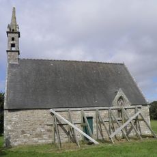
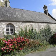
Plourin, commune in Finistère, France
Location: Finistère
Location: arrondissement of Brest
Location: Pays d'Iroise Communauté
Elevation above the sea: 63 m
Shares border with: Brélès, Landunvez, Lanildut, Lanrivoaré, Ploudalmézeau, Plouguin, Porspoder, Tréouergat
Phone: +33298043157
Email: accueil@mairie-plourin.fr
Website: https://plourin.fr
GPS coordinates: 48.50944,-4.68694
Latest update: November 12, 2025 00:04
Château de Kergroadès
3.6 km
Menhir of Kergadiou
3.3 km
Manoir de Bel-Air
4.5 km
Manoir de Kerenneur
4.4 km
Dolmen de Mezou Poulyot
5.2 km
Menhir de Kérhouézel
4.6 km
Menhir de Saint-Gonveld
3 km
Menhir de Kervignen-Bras
4.4 km
Chapelle Saint-Roch de Ploudalmézeau
3.4 km
Église Saint-Budoc de Plourin
51 m
Église Saint-Gonval de Landunvez
3.9 km
Église Notre-Dame de Brélès
4.1 km
Église Saint-Rivoaré de Lanrivoaré
5.3 km
Chapelle Saint-Lénor de Porspoder
3.5 km
Calvaire de Lanrivoaré
5.3 km
Église Saint-Ildut de Lanildut
5.9 km
Centre culturel l'Arcadie
3.6 km
Menhirs de Mesdoun
5.2 km
Chapelle Saint-Roch
2.1 km
Tumulus de Rubrat Huella
634 m
Chapelle Sainte-Anne de Plourin
33 m
Maison, 20 rue Rumorvan
5.9 km
Forge
5.1 km
Santier Sukr
5.1 km
Ancienne usine à soude Vienne
4.5 km
Statue, Work of art
4 km
Penn an Dreff
4.4 km
Tumulus de Rubrat
406 mReviews
Visited this place? Tap the stars to rate it and share your experience / photos with the community! Try now! You can cancel it anytime.
Discover hidden gems everywhere you go!
From secret cafés to breathtaking viewpoints, skip the crowded tourist spots and find places that match your style. Our app makes it easy with voice search, smart filtering, route optimization, and insider tips from travelers worldwide. Download now for the complete mobile experience.
A unique approach to discovering new places❞
— Le Figaro
All the places worth exploring❞
— France Info
A tailor-made excursion in just a few clicks❞
— 20 Minutes