Enable Location

We need your location to show you interesting places around you

Discover nearby places

Find interesting locations and hidden gems around you

Precise directions

Get accurate directions and distances to places

Your location is never shared with other users. It's only used when you tap the location button.

Charolles

Log in to your account

Start exploring — it's free

Trusted by 61,556 travelers worldwide

Continue with Google
Continue with Apple
or

We will send you a code to connect

By continuing, you accept our Terms and Conditions and our Privacy Policy

Check your inbox

We've sent a pincode in your inbox. Please enter the code below.

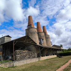
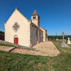
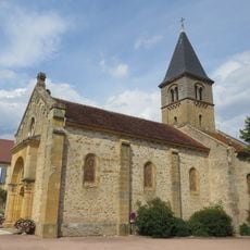
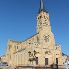
Charolles, Administrative commune in Saône-et-Loire, France

Description

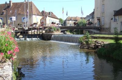
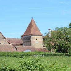
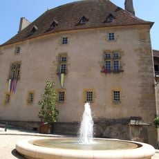
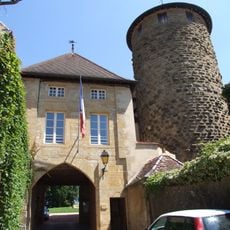
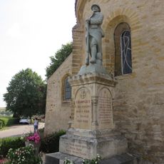
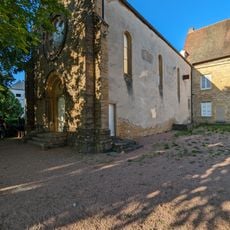
Charolles is a commune in Saône-et-Loire located at 327 meters elevation in the Bourgogne-Franche-Comté region, surrounded by green pastures and farmland. The center features traditional buildings with market squares and local facilities that reflect rural life in the area.

History

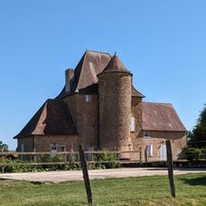
The commune developed during medieval times into an important market town, benefiting from its strategic location for trade routes across the region. This role as a trading center shaped its growth over the centuries.

Culture

The town keeps its farming roots alive through regular markets where producers showcase regional goods and the famous Charolais cattle breed. These gatherings bring locals together and show how livestock raising shapes daily life here.

Practical

Visitors can find various accommodation options throughout the commune at different price points and for different lengths of stay. The best time to visit is during market days when the center is busy and local activity picks up.

Did you know?

The commune is known worldwide for the Charolais cattle breed, which originated here and is prized for high-quality meat production. This breed is so important to local identity that it defines the region's character, and visitors often encounter breeders and farms proudly displaying their herds.

Location
Elevation above the sea
310 m
Shares border with
Baron, Champlecy, Changy, Fontenay, Marcilly-la-Gueurce, Vaudebarrier, Vendenesse-lès-Charolles, Viry
Phone
GPS coordinates
46.43444,4.27528
Latest update
December 20, 2025 12:20

AroundUs brings together thousands of curated places, local tips, and hidden gems, enriched daily by 60,000 contributors worldwide. Discover all places nearby (Saône-et-Loire).

« Charolles - Administrative commune in Saône-et-Loire, France » is provided by Around Us (aroundus.com). Images and texts are derived from Wikimedia project under a Creative Commons license. You are allowed to copy, distribute, and modify copies of this page, under the conditions set by the license, as long as this note is clearly visible.

Discover hidden gems everywhere you go!

From secret cafés to breathtaking viewpoints, skip the crowded tourist spots and find places that match your style. Our app makes it easy with voice search, smart filtering, route optimization, and insider tips from travelers worldwide. Download now for the complete mobile experience.

Around Us App Screenshot

A unique approach to discovering new places

Le Figaro

All the places worth exploring

France Info

A tailor-made excursion in just a few clicks

20 Minutes

Around Us
Travel Guide & Maps
Download

Send to your phone

QR Code
1

Open the camera app on your mobile.

2

Point at the QR code with your camera. A notification will appear.

3

Tap the notification to open the link.