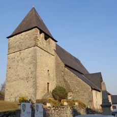
Béarn, Historical province in southwestern Pyrenees, France
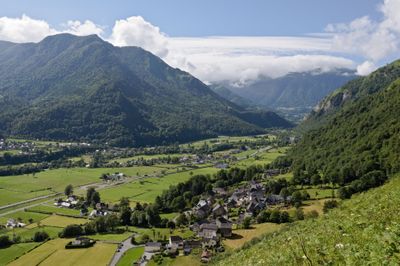
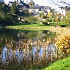
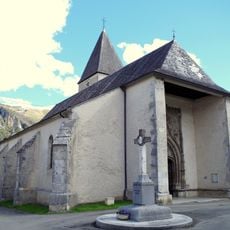
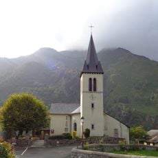
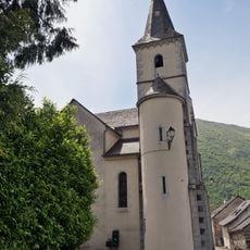
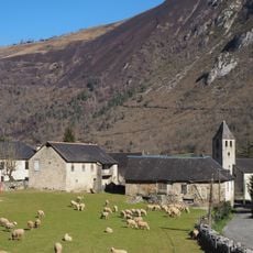
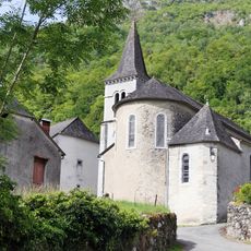
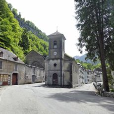
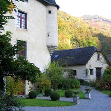
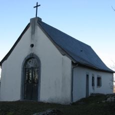
Béarn is a historical province in southwestern France stretching along the Pyrenees, encompassing mountain villages, river valleys, and the city of Pau. The landscape ranges from steep slopes in the south to rolling plains in the north, crossed by Gave rivers that divide the territory into several valleys.
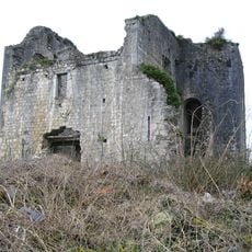
The province emerged from an early medieval fief and developed into an independent principality under Gaston III in the 14th century. The territory passed through inheritance to the House of Navarre and later joined the French kingdom when Henry of Navarre became king of France in 1589.
The local Bearnese language, a variant of Occitan, still appears on street signs and in rural communities where older residents use it in daily conversation. Traditional cuisine reveals itself through market stalls and restaurant menus featuring garbure, a hearty cabbage soup, and poule au pot, a chicken dish linked to Henri IV.
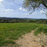
The northern plains remain accessible year-round and offer easy walks through vineyards and historic town centers. The southern mountain areas require caution in winter due to snow and close some passes between November and May.
The first aviation schools in Europe opened near Pau from 1909 onward, as the mild climate and calm wind conditions proved perfect for early flight experiments. Wilbur Wright himself came here to teach European pilots how to fly, laying the groundwork for the aerospace industry that later developed throughout the territory.
The community of curious travelers
AroundUs brings together thousands of curated places, local tips, and hidden gems, enriched daily by 60,000 contributors worldwide.