Enable Location

We need your location to show you interesting places around you

Discover nearby places

Find interesting locations and hidden gems around you

Precise directions

Get accurate directions and distances to places

Your location is never shared with other users. It's only used when you tap the location button.

Élancourt

Log in to your account

Start exploring — it's free

Trusted by 62,087 travelers worldwide

Continue with Google
Continue with Apple
or

We will send you a code to connect

By continuing, you accept our Terms and Conditions and our Privacy Policy

Check your inbox

We've sent a pincode in your inbox. Please enter the code below.

Élancourt, Administrative commune in Yvelines, France

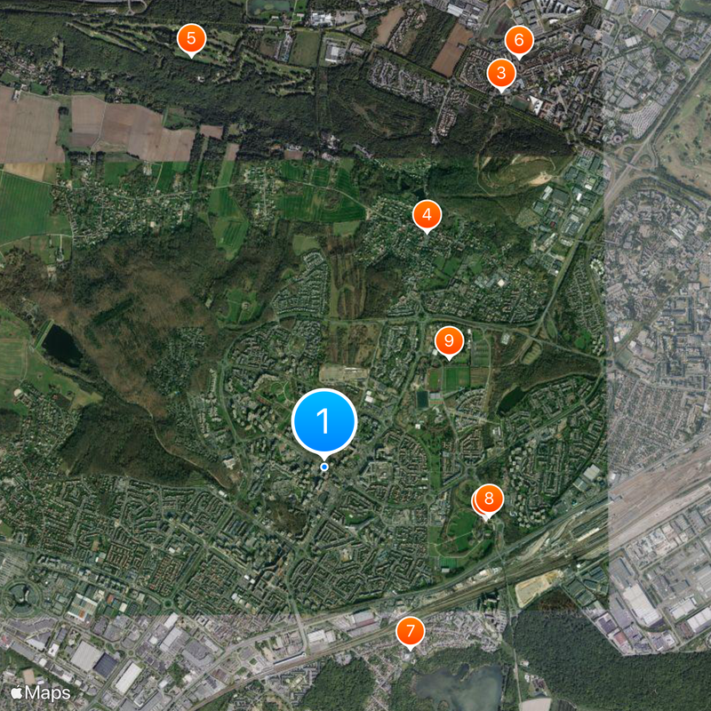
Élancourt is a commune in Yvelines west of Paris that spans multiple neighborhoods and residential areas. The town combines housing districts with local services and is accessible via the nearby La Verrière railway station.

The commune was part of the Seine-et-Oise department until 1968, when it became part of the newly created Yvelines department. This administrative shift reflected broader changes happening across the Paris region at that time.

The town hosts regular concerts and cultural events that bring neighbors together and shape community life. Various local associations and groups give residents opportunities to share interests and build connections with one another.

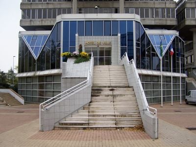
Visitors can access municipal information through the town's online citizen portal or visit local offices directly for assistance. The best time to explore is during weekends and off-peak hours when public spaces feel less crowded.

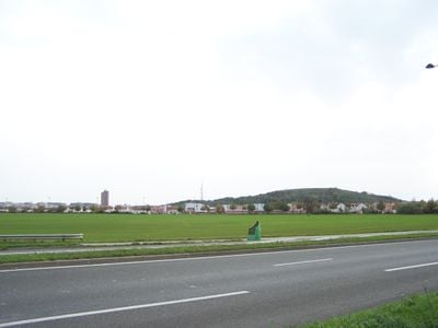
The Colline d'Élancourt is an artificial hill built from landfill that stands as the highest point in the Île-de-France region. This location hosted Olympic mountain biking events in 2024 and has since drawn sports enthusiasts to experience the site.

The community of curious travelers

AroundUs brings together thousands of curated places, local tips, and hidden gems, enriched daily by 60,000 contributors worldwide.

Start exploring
Location
Elevation above the sea
161 m
Shares border with
Jouars-Pontchartrain, Maurepas, Le Mesnil-Saint-Denis, Plaisir, Trappes, La Verrière
Phone
GPS coordinates
48.76833,1.94944
Latest update
December 20, 2025 16:20
« Élancourt - Administrative commune in Yvelines, France » is provided by Around Us (aroundus.com). Images and texts are derived from Wikimedia project under a Creative Commons license. You are allowed to copy, distribute, and modify copies of this page, under the conditions set by the license, as long as this note is clearly visible.

Discover hidden gems everywhere you go!

From secret cafés to breathtaking viewpoints, skip the crowded tourist spots and find places that match your style. Our app makes it easy with voice search, smart filtering, route optimization, and insider tips from travelers worldwide. Download now for the complete mobile experience.

Around Us App Screenshot

A unique approach to discovering new places

Le Figaro

All the places worth exploring

France Info

A tailor-made excursion in just a few clicks

20 Minutes

Around Us
Travel Guide & Maps
Download

Send to your phone

QR Code
1

Open the camera app on your mobile.

2

Point at the QR code with your camera. A notification will appear.

3

Tap the notification to open the link.