Enable Location

We need your location to show you interesting places around you

Discover nearby places

Find interesting locations and hidden gems around you

Precise directions

Get accurate directions and distances to places

Your location is never shared with other users. It's only used when you tap the location button.

Montigny-le-Bretonneux

Log in to your account

Start exploring — it's free

Trusted by 62,063 travelers worldwide

Continue with Google
Continue with Apple
or

We will send you a code to connect

By continuing, you accept our Terms and Conditions and our Privacy Policy

Check your inbox

We've sent a pincode in your inbox. Please enter the code below.

Montigny-le-Bretonneux

Montigny-le-Bretonneux, Administrative commune in Île-de-France region, France

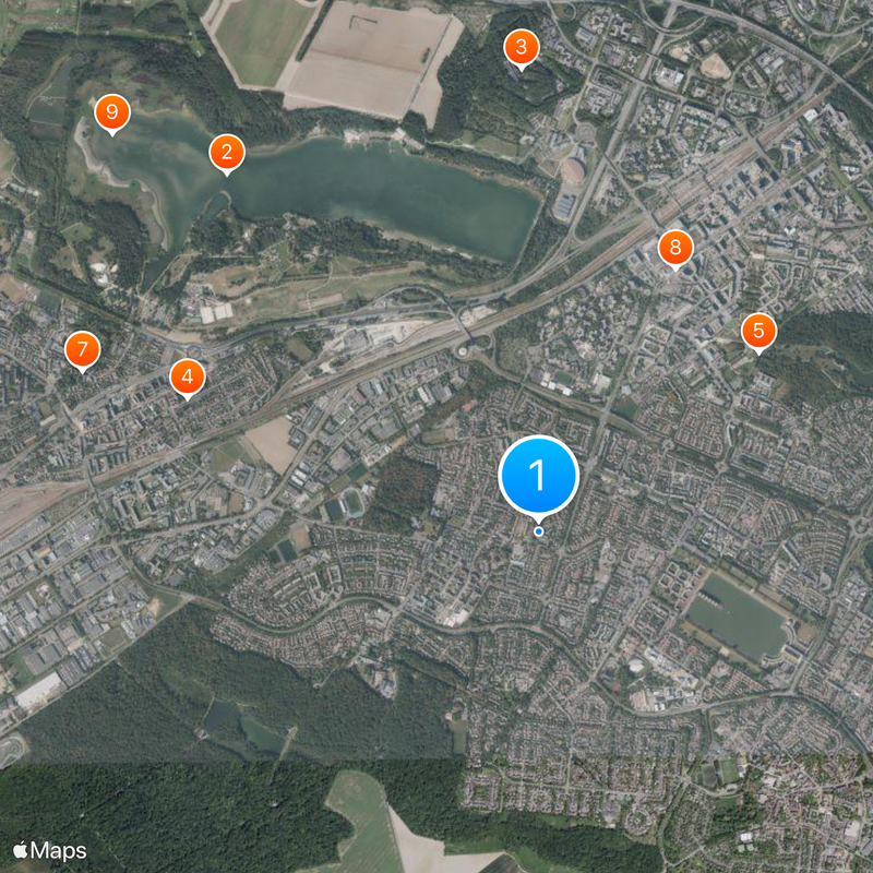
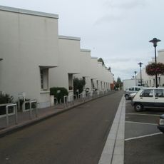
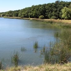
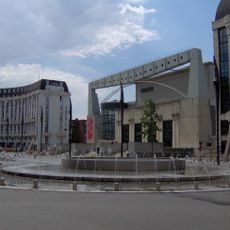
Montigny-le-Bretonneux is a commune in the southwestern suburbs of Paris, part of the Saint-Quentin-en-Yvelines urban district. The place displays a mix of residential areas, public facilities, and green spaces that shape the appearance of a contemporary suburb.

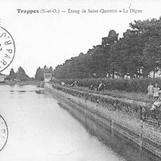
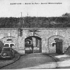
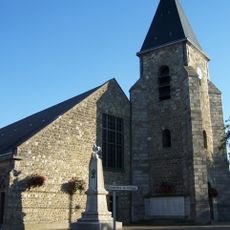
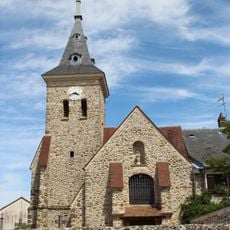
This place was long a small village and underwent major change from the 1970s onward through rapid settlement growth. The development transformed it into a significant part of the modern Paris area.

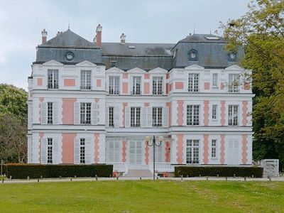
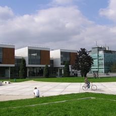
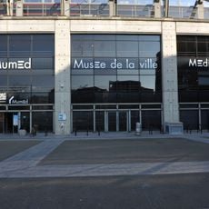
The Franco-Japanese cultural institute shapes the character of this place and brings together people from different backgrounds. Visitors can experience the blend of French and Japanese influences in daily life here.

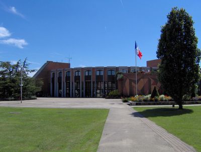
The local administration is located on Rue de la Mare aux Carats and handles resident affairs. Visitors will find schools, shops, and public transport that make getting around convenient.

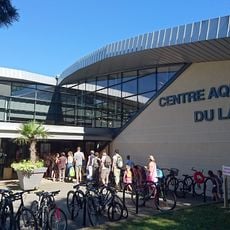
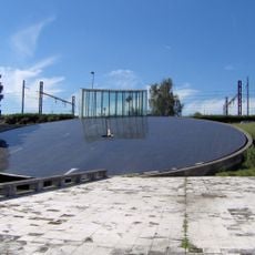
A modern velodrome was built here between 2011 and 2014 for national cycling competitions and has served as a major training and event center since then. This sports facility draws athletes and fans from across the country.

The community of curious travelers

AroundUs brings together thousands of curated places, local tips, and hidden gems, enriched daily by 60,000 contributors worldwide.

Start exploring
Location
Location
Saint-Quentin-en-Yvelines
Elevation above the sea
165 m
Shares border with
Bois-d'Arcy, Guyancourt, Magny-les-Hameaux, Saint-Cyr-l'École, Trappes, Voisins-le-Bretonneux
Phone
GPS coordinates
48.77056,2.03250
Latest update
December 14, 2025 21:07
« Montigny-le-Bretonneux - Administrative commune in Île-de-France region, France » is provided by Around Us (aroundus.com). Images and texts are derived from Wikimedia project under a Creative Commons license. You are allowed to copy, distribute, and modify copies of this page, under the conditions set by the license, as long as this note is clearly visible.

Discover hidden gems everywhere you go!

From secret cafés to breathtaking viewpoints, skip the crowded tourist spots and find places that match your style. Our app makes it easy with voice search, smart filtering, route optimization, and insider tips from travelers worldwide. Download now for the complete mobile experience.

Around Us App Screenshot

A unique approach to discovering new places

Le Figaro

All the places worth exploring

France Info

A tailor-made excursion in just a few clicks

20 Minutes

Around Us
Travel Guide & Maps
Download

Send to your phone

QR Code
1

Open the camera app on your mobile.

2

Point at the QR code with your camera. A notification will appear.

3

Tap the notification to open the link.