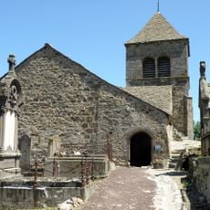
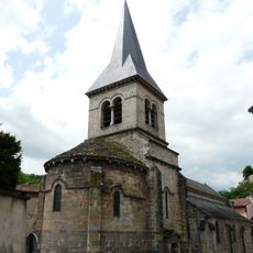
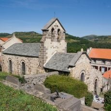
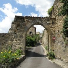
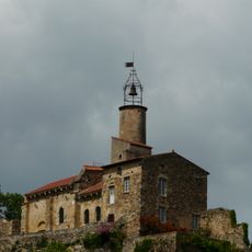
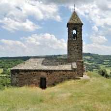
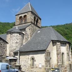
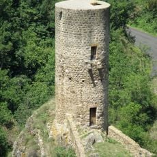
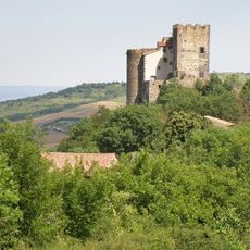
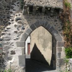
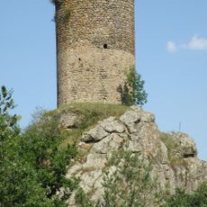
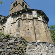
Montaigut-le-Blanc, Medieval commune in Puy-de-Dôme, France
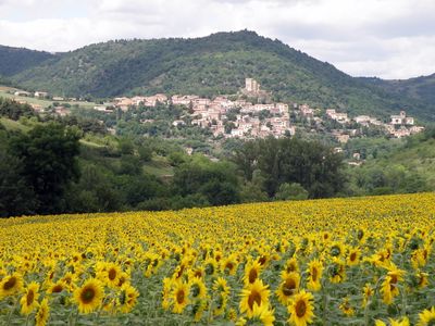
Montaigut-le-Blanc is a rural commune in Puy-de-Dôme nestled within the volcanic landscape of Auvergne and crossed by valley streams. The village sits at approximately 500 meters elevation and spreads across farmland and rolling hills characteristic of this region.
The settlement originated as an agricultural village in a region long shaped by its volcanic terrain and river systems. Over centuries it became integrated into the administrative structure of Puy-de-Dôme while remaining rooted in rural traditions.
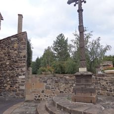
The village reflects rural Auvergne life through its working farmers and craftspeople whose daily activities shape the local character. Community markets bring residents together to trade regional products that have been grown and made here for many generations.
The commune provides basic public services including a town hall and administrative offices for residents and visitors. Market days are the best time to visit if you want to experience the village at its most active and social.
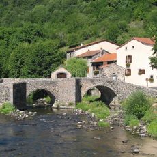
The village lies in an area shaped by multiple small rivers flowing through valleys that define the local landscape. These watercourses have influenced farming practices and settlement patterns here for generations.
Location: canton of Champeix
Location: Puy-de-Dôme
Location: arrondissement of Issoire
Industry: administration publique générale
Shares border with: Ludesse, Champeix, Clémensat, Creste, Grandeyrolles, Olloix, Saint-Floret, Saint-Nectaire
Address: 63320 Montaigut-le-Blanc, France
Phone: +33473967005
Email: mairie.montaigutleblanc@gmail.com
Website: http://montaigut-le-blanc.fr
GPS coordinates: 45.58611,3.08972
Latest update: December 11, 2025 11:06
Château de Saint-Cirgues
5.6 km
Dolmen de Saillant
5.7 km
Château du Marchidial
2.8 km
Château de Saint-Diéry
6.6 km
Église du Chastel
4.3 km
Église Sainte-Croix de Champeix
3.1 km
Pierre Fichade
2.9 km
Église Saint-Loup de Grandeyrolles
2.7 km
Porte d'enceinte de Montaigut-le-Blanc
249 m
Église Saint-Jean du Marchidial
2.9 km
Chapelle de Brionnet
6.8 km
Église Sainte-Radegonde de Saurier
6.4 km
Église Saint-Didier de Saint-Diéry
6.5 km
Église de Montaigut-le-Blanc
164 m
Église Saint-Pierre-Saint-Roch de Saillant
6 km
Église Saint-Jean-Baptiste d'Olloix
5.3 km
Église Saint-Germain-et-Saint-Barthélemy de Clémensat
2.8 km
Église Saint-Vincent de Saint-Vincent
5.3 km
Église basse de Saint-Floret
4.1 km
Pont médiéval de Saurier
6.2 km
Chapelle Saint-Julien de Saint-Julien
1.2 km
Château de Saint-Floret
4 km
Château de Montaigut-le-Blanc
138 m
Croix de Saint-Cirgues-sur-Couze
5.9 km
Maison du Louvetier
6.4 km
Porte de Saurier
6.4 km
Tour de Rognon
1.7 km
Chapelle castrale de Saint-Diéry Bas
6.5 kmVisited this place? Tap the stars to rate it and share your experience / photos with the community! Try now! You can cancel it anytime.
Discover hidden gems everywhere you go!
From secret cafés to breathtaking viewpoints, skip the crowded tourist spots and find places that match your style. Our app makes it easy with voice search, smart filtering, route optimization, and insider tips from travelers worldwide. Download now for the complete mobile experience.
A unique approach to discovering new places❞
— Le Figaro
All the places worth exploring❞
— France Info
A tailor-made excursion in just a few clicks❞
— 20 Minutes