Chest opened
+${chestReward.xp} XP
Explorer
NOUVEAU ×${chestReward.collectible.quantity}
tapez pour fermer
Chest locked

Open chests in the app

Around Us is built for your phone — chests unlock when you walk, explore and capture nearby places.

Enable Location

We need your location to show you interesting places around you

Discover nearby places

Find interesting locations and hidden gems around you

Precise directions

Get accurate directions and distances to places

Your location is never shared with other users. It's only used when you tap the location button.

Charbonnier-les-Mines

Log in to your account

Start exploring — it's free

Trusted by 73,626 travelers worldwide

Continue with Google
Continue with Apple
or

We will send you a code to connect

By continuing, you accept our Terms and Conditions and our Privacy Policy

Check your inbox

We've sent a pincode in your inbox. Please enter the code below.

Charbonnier-les-Mines
Discussion Reviews 1 Photos
2.2k Popularity

Charbonnier-les-Mines, Commune in Puy-de-Dôme, France

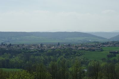
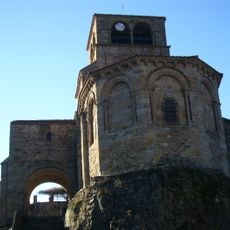
Charbonnier-les-Mines is a small commune in the Puy-de-Dôme department of the Auvergne-Rhône-Alpes region, in the canton of Saint-Germain-Lembron within the arrondissement of Issoire. It sits on elevated ground above the Alagnon river, surrounded by hills and small forests.

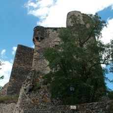
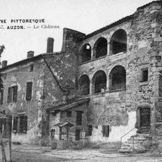
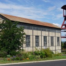
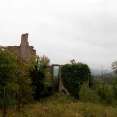
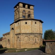
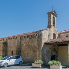
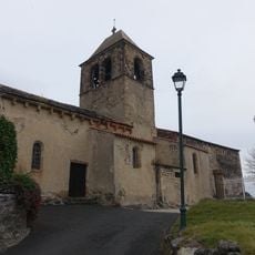
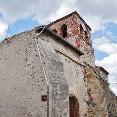
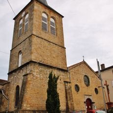
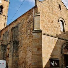
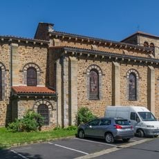
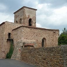
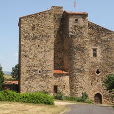
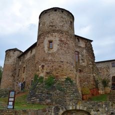
The site has roots in a Gallo-Roman settlement whose remains can still be found nearby. Coal mining here is documented before the 15th century and shaped the village until the last shaft closed in 1942.

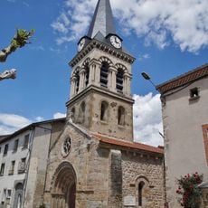
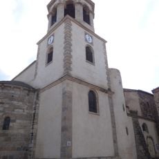
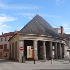
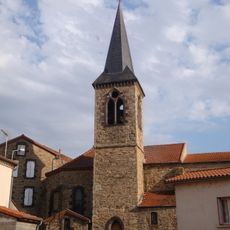
The name Charbonnier-les-Mines comes from the Latin word for coal, and that connection to mining still shapes how the village feels today. Stone and brick buildings line the streets, and older residents often share stories about the days when the mines were the center of daily life.

The elevated position makes short walks through the village and into the surrounding hills a natural way to get a feel for the place. For larger shops or services, the nearby town of Issoire is the practical option.

After the last shaft stopped producing coal in 1942, its tunnels were still used for ventilation in other parts of the mine until 1960. A cable system built in the early 20th century once carried coal directly from the mines to the station at Brassac.

The community of curious travelers

AroundUs brings together thousands of curated places, local tips, and hidden gems, enriched daily by 60,000 contributors worldwide.

Start exploring
Location
Industry
administration publique générale
Shares border with
Sainte-Florine, Beaulieu, Brassac-les-Mines, Moriat, Saint-Germain-Lembron
Address
Charbonnier-les-Mines, France
Phone
GPS coordinates
45.41667,3.28500
Latest update
May 18, 2026 07:27
Reviews
Share your experience

No review yet

Discussions
Start a discussion...

No discussion yet

« Charbonnier-les-Mines - Commune in Puy-de-Dôme, France » is provided by Around Us (aroundus.com). Images and texts are derived from Wikimedia project under a Creative Commons license. You are allowed to copy, distribute, and modify copies of this page, under the conditions set by the license, as long as this note is clearly visible.

Discover hidden gems everywhere you go!

From secret cafés to breathtaking viewpoints, skip the crowded tourist spots and find places that match your style. Our app makes it easy with voice search, smart filtering, route optimization, and insider tips from travelers worldwide. Download now for the complete mobile experience.

Around Us App Screenshot

A unique approach to discovering new places

Le Figaro

All the places worth exploring

France Info

A tailor-made excursion in just a few clicks

20 Minutes

Around Us
Travel Guide & Maps
Download

Send to your phone

QR Code
1

Open the camera app on your mobile.

2

Point at the QR code with your camera. A notification will appear.

3

Tap the notification to open the link.