Enable Location

We need your location to show you interesting places around you

Discover nearby places

Find interesting locations and hidden gems around you

Precise directions

Get accurate directions and distances to places

Your location is never shared with other users. It's only used when you tap the location button.

Montargis

Log in to your account

Start exploring — it's free

Trusted by 61,992 travelers worldwide

Continue with Google
Continue with Apple
or

We will send you a code to connect

By continuing, you accept our Terms and Conditions and our Privacy Policy

Check your inbox

We've sent a pincode in your inbox. Please enter the code below.

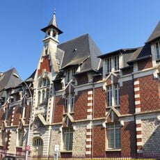
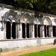
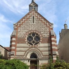
Montargis, Medieval commune in Centre-Val de Loire, France

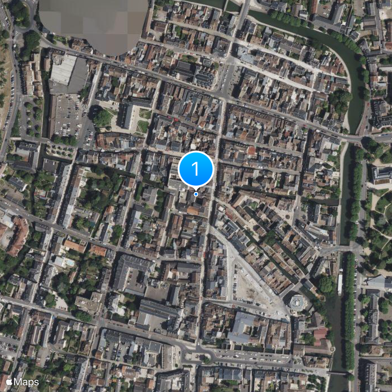
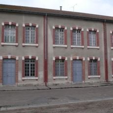
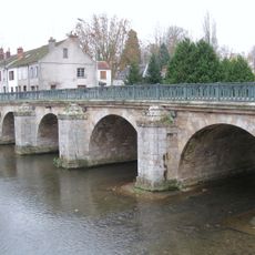
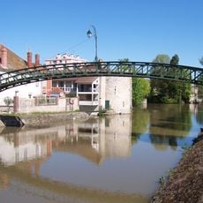
Montargis is a commune in the Loiret department in the Centre-Val de Loire region of France. The town extends along the Loing River and Briare Canal, with 131 bridges crossing the waterways that flow through its streets and neighborhoods.

In 1427 French forces successfully defended the town against a siege by the Earl of Warwick during the Hundred Years War. This military success strengthened the position of the region during the long conflict between France and England.

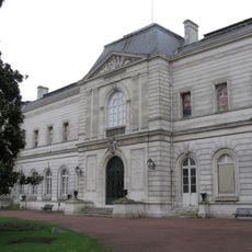
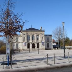
The Museum Girodet in Hotel Durzy displays numerous paintings from the neoclassical period, including works by local artist Anne-Louis Girodet-Trioson. The collection documents the artistic production of the region and offers insight into late eighteenth and early nineteenth century painting.

The town maintains direct train connections to Paris and Orleans, with the journey to the capital taking about one hour. Visitors wanting to explore the numerous bridges and waterways should plan several hours for a walking tour.

During the early 1920s future Chinese leader Deng Xiaoping worked at the Hutchinson rubber factory while studying in the town. The factory was part of a program that brought young Chinese to France to both work and receive an education.

The community of curious travelers

AroundUs brings together thousands of curated places, local tips, and hidden gems, enriched daily by 60,000 contributors worldwide.

Start exploring
Location
Location
arrondissement of Montargis
Elevation above the sea
90 m
Shares border with
Châlette-sur-Loing, Amilly, Villemandeur
Phone
GPS coordinates
47.99694,2.73250
Latest update
December 14, 2025 23:43
« Montargis - Medieval commune in Centre-Val de Loire, France » is provided by Around Us (aroundus.com). Images and texts are derived from Wikimedia project under a Creative Commons license. You are allowed to copy, distribute, and modify copies of this page, under the conditions set by the license, as long as this note is clearly visible.

Discover hidden gems everywhere you go!

From secret cafés to breathtaking viewpoints, skip the crowded tourist spots and find places that match your style. Our app makes it easy with voice search, smart filtering, route optimization, and insider tips from travelers worldwide. Download now for the complete mobile experience.

Around Us App Screenshot

A unique approach to discovering new places

Le Figaro

All the places worth exploring

France Info

A tailor-made excursion in just a few clicks

20 Minutes

Around Us
Travel Guide & Maps
Download

Send to your phone

QR Code
1

Open the camera app on your mobile.

2

Point at the QR code with your camera. A notification will appear.

3

Tap the notification to open the link.