
Villes, commune in Ain, France
Location: Ain
Location: arrondissement of Nantua
Elevation above the sea: 926 m
Shares border with: Billiat, Valserhône, Haut Valromey, Ochiaz, Arlod
Phone: +33450599334
Email: accueil@mairiedevilles.fr
Website: http://villes01200.fr
GPS coordinates: 46.08833,5.78500
Latest update: June 9, 2025 22:18

Bellegarde-sur-Valserine Viaduct
3.2 km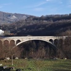
Pont de Savoie
3.3 km
Chapel of Retord
6.1 km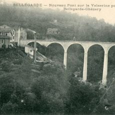
Viaduc de Bellegarde
4.3 km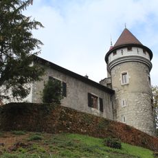
Château de Mussel
2.7 km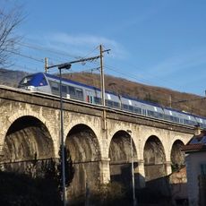
Viaduc de la Valserine
4.2 km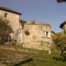
Château de Musinens
4.1 km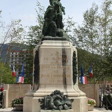
War memorial of Bellegarde-sur-Valserine
3.9 km
Town hall of Bellegarde-sur-Valserine
3.9 km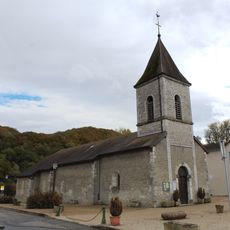
Église Saint-Nicolas d'Arlod
2.8 km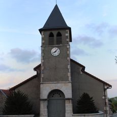
Église Saints-Laurent-et-Didier d'Injoux
3.5 km
Église Saint-Étienne d'Ochiaz
2.4 km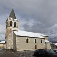
Église Saint-Paul de Vouvray
2.9 km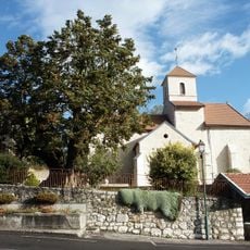
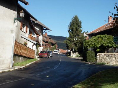
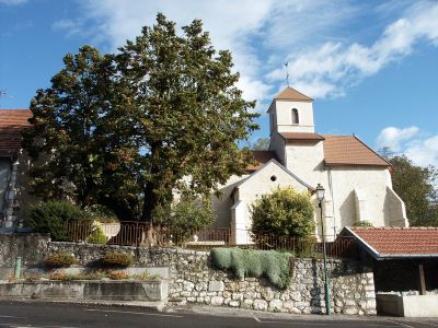
Église Saint-Nicolas de Villes
92 m
Église Notre-Dame-de-l'Assomption de Bellegarde-sur-Valserine
3.9 km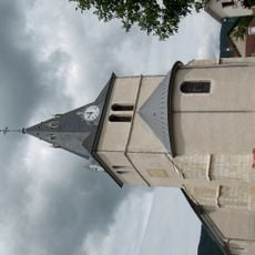
Église Saint-Pierre de Billiat
1.2 km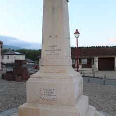
War memorial of Injoux
3.5 km
Mairie de Villes
175 m
War memorial of Billiat
1.2 km
Town hall of Billiat
1.2 km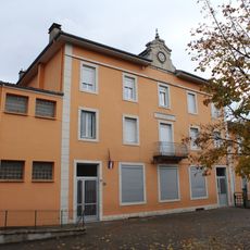
Former town hall of Arlod
2.6 km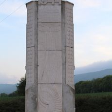
World War II memorial of Injoux-Génissiat
2.7 km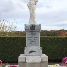
War memorial of Arlod
2.6 km
Ancienne mairie de Vouvray
3.1 km
Former town hall of Ochiaz
1.9 km
War memorial of Villes
94 m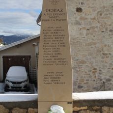
War memorial of Ochiaz
1.9 km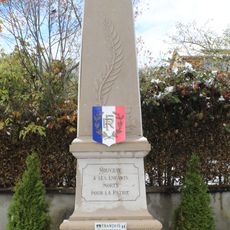
War memorial of Vouvray
3 kmVisited this place? Tap the stars to rate it and share your experience / photos with the community! Try now! You can cancel it anytime.
Discover hidden gems everywhere you go!
From secret cafés to breathtaking viewpoints, skip the crowded tourist spots and find places that match your style. Our app makes it easy with voice search, smart filtering, route optimization, and insider tips from travelers worldwide. Download now for the complete mobile experience.

A unique approach to discovering new places❞
— Le Figaro
All the places worth exploring❞
— France Info
A tailor-made excursion in just a few clicks❞
— 20 Minutes