
Codognan, commune in Gard, France
Location: canton of Rhôny-Vidourle
Location: Gard
Location: arrondissement of Nîmes
Elevation above the sea: 15 m
Shares border with: Aigues-Vives, Le Cailar, Mus, Vergèze
Phone: +33466350307
Email: mairie.codognan@wanadoo.fr
Website: http://codognan.fr
GPS coordinates: 43.73167,4.21972
Latest update: June 15, 2025 08:01

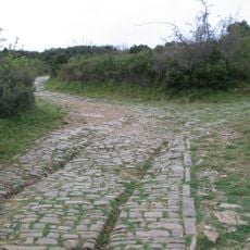
Via Domitia
5.7 km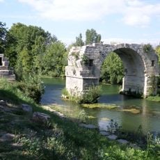
Pont Ambroix
5.7 km
Château de Montcalm
3.3 km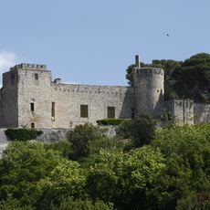
Château de Boissières
4.8 km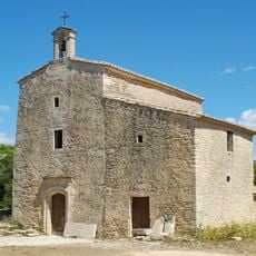
Chapelle Saint-Nazaire-de-Marissargues
5.1 km
Temple protestant de Vauvert
6.3 km
Arènes du Cailar
6.6 km
Temple protestant de Gallargues-le-Montueux
3.9 km
Hôpital Saint-Jacques
3.8 km
Former estate of Thomas Burnet
3.5 km
Église Saint-Étienne du Cailar
6.4 km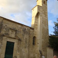
Église Saint-Martin de Gallargues-le-Montueux
4.1 km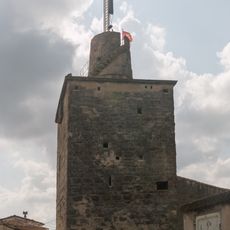
Tour royale
3.9 km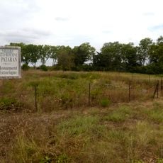
Villa gallo-romaine de Pataran
1.5 km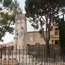
Gallargues-le-Montueux war memorial
3.9 km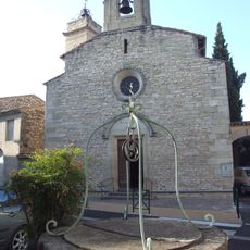
Église Saint-Félix de Vergèze
1.4 km
Église Saint-André de Codognan
89 m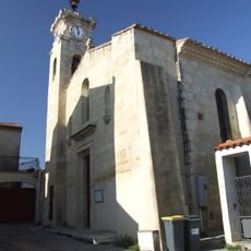
Église Saint-Jean-Baptiste de Mus
1.8 km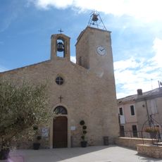
Église Saint-Paul d'Uchaud
4.9 km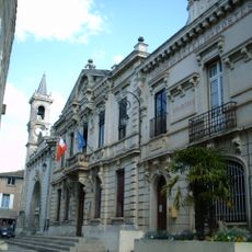
Town hall of Aimargues
5.3 km
Temple de l'Église protestante unie de France d'Aimargues
5.2 km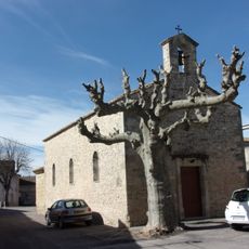
Église de Vestric-et-Candiac
3.3 km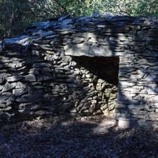
Capitelle de l'Enclos
6 km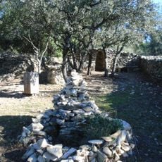
Capitelle de Roger
5.8 km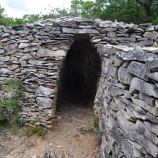
Capitelle des Iris
5.8 km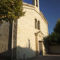
Protestant Church, Codognan
84 m
Temple de Vestric-et-Candiac
3.4 km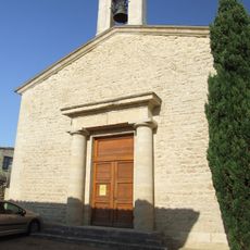
Temple de Mus
1.8 kmReviews
Visited this place? Tap the stars to rate it and share your experience / photos with the community! Try now! You can cancel it anytime.
Discover hidden gems everywhere you go!
From secret cafés to breathtaking viewpoints, skip the crowded tourist spots and find places that match your style. Our app makes it easy with voice search, smart filtering, route optimization, and insider tips from travelers worldwide. Download now for the complete mobile experience.

A unique approach to discovering new places❞
— Le Figaro
All the places worth exploring❞
— France Info
A tailor-made excursion in just a few clicks❞
— 20 Minutes