Via Domitia

Log in to your account

AroundUs is a community-driven map of interesting places, built by curious explorers like you. It grows with every review, story, and photo you share.
Connect to save your favorite spots, contribute locations, and create personalized routes.
Continue with Google
Continue with Apple
Continue with X
Continue with Facebook
Continue with email
By continuing, you accept our Terms and Conditions and our Privacy Policy
Create an account
Add to collection
Map
Suggest a change
Share

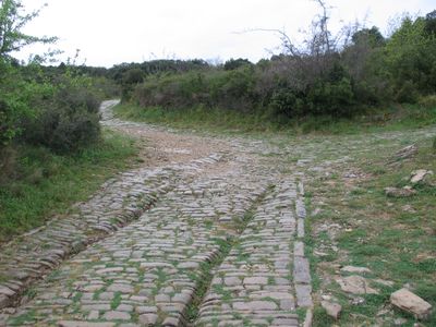
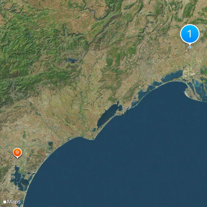
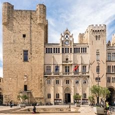
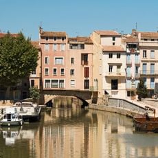
Via Domitia, Roman road between Montgenèvre and Narbonne, France.

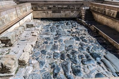
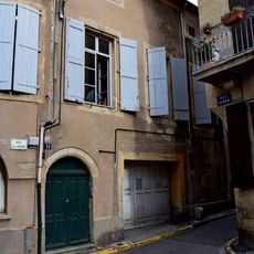
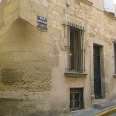
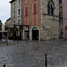
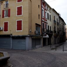
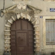
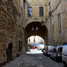
The Via Domitia is an ancient Roman road spanning southern France and connecting multiple Roman settlements across the landscape. The route traverses flat terrain and rolling hills, with original stone paving still visible in scattered sections.

This road was built in the early 2nd century and formed the first direct link between Italy and Hispania through Roman-controlled territory. It became one of the most important military and commercial routes of the ancient world.

The road served as a meeting point for traders and travelers from distant regions, shaping the growth of communities along its length. Visitors can still sense how this route connected different worlds and fostered exchange.

This route is best explored in sections rather than as a single continuous journey, as it stretches across a wide area. Walking or driving along preserved segments gives a good sense of the original road's significance without requiring extensive time.

Some of the original Roman bridges built along this route still stand and remain functional to this day. These stone structures demonstrate impressive engineering techniques that have withstood centuries of use.

Location: Castelnau-de-Guers

Location: Beaucaire

Location: Redessan

Location: Jonquières-Saint-Vincent

Location: Castelnau-le-Lez

Location: Mèze

Location: Montagnac

Location: Pinet

Location: Pomérols

Location: Gallargues-le-Montueux

Location: Villetelle

Location: Ganagobie

Location: Lurs

Accessibility: Wheelchair inaccessible

Address: chemin Romain

Opening Hours: 24/7

GPS coordinates: 43.71722,4.15194

Latest update: December 13, 2025 16:15

Photos
Reviews

Visited this place? Tap the stars to rate it and share your experience / photos with the community! Try now! You can cancel it anytime.

« Via Domitia - Roman road between Montgenèvre and Narbonne, France » is provided by Around Us (aroundus.com). Images and texts are derived from Wikimedia project under a Creative Commons license. You are allowed to copy, distribute, and modify copies of this page, under the conditions set by the license, as long as this note is clearly visible.

Discover hidden gems everywhere you go!

From secret cafés to breathtaking viewpoints, skip the crowded tourist spots and find places that match your style. Our app makes it easy with voice search, smart filtering, route optimization, and insider tips from travelers worldwide. Download now for the complete mobile experience.

Around Us App Screenshot

A unique approach to discovering new places

Le Figaro

All the places worth exploring

France Info

A tailor-made excursion in just a few clicks

20 Minutes