Pont-l'Évêque

Log in to your account

AroundUs is a community-driven map of interesting places, built by curious explorers like you. It grows with every review, story, and photo you share.
Connect to save your favorite spots, contribute locations, and create personalized routes.
Continue with Google
Continue with Apple
Continue with X
Continue with Facebook
Continue with email
By continuing, you accept our Terms and Conditions and our Privacy Policy
Create an account
Add to collection
Map
Suggest a change
Share

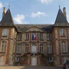
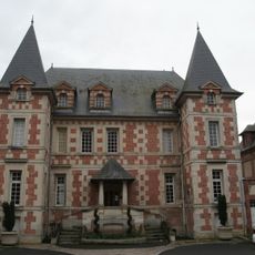
Pont-l'Évêque, Administrative center in Calvados, France.

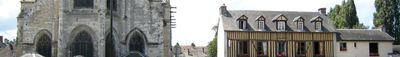
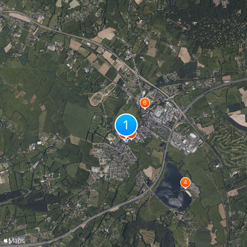
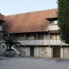
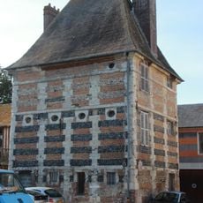
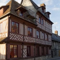
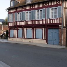
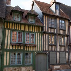
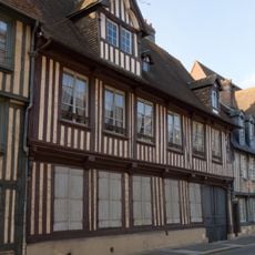
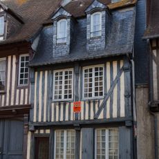
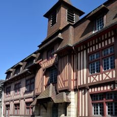
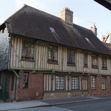
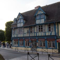
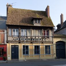
Pont-l'Évêque is a village in Normandy situated where three rivers - the Touques, Calonne, and Yvie - converge. The landscape features rolling pastoral land with traditional timber-framed farmhouses and buildings typical of the Norman countryside.

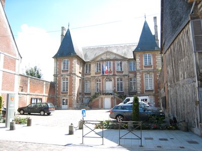
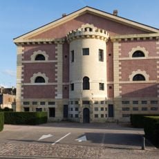
The village grew around a bridge that bishops of Lisieux built in medieval times. During the French Revolution, the place received several new names including Pont-Châlier and Pont-Libre before returning to its original name.

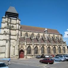
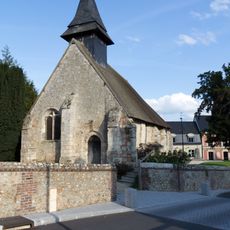
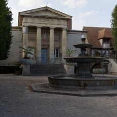
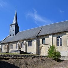
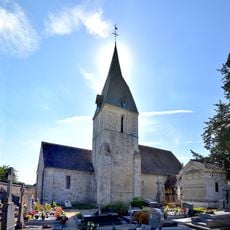
Saint-Michel church anchors the village center with its sturdy western tower and mixed architectural periods. The place takes its name from a medieval bridge built by bishops, and this connection to religious authority remains visible in how the community is organized around the church.

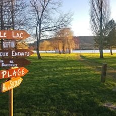
A 190-hectare lake offers water activities, created from a former quarry during highway construction. Visitors should note that warmer months are best for outdoor activities, and local guides can help with navigation and fishing locations.

Sea trout fishing is possible in the three rivers flowing through the village and attracts anglers seeking this special fish. This opportunity makes it an interesting destination for sport fishers in the region.

Location: Calvados

Location: arrondissement of Lisieux

Inception: January 1, 2019

Elevation above the sea: 7 m

Shares border with: Pierrefitte-en-Auge, Reux, Saint-Hymer, Saint-Julien-sur-Calonne, Surville, Manneville-la-Pipard, Saint-Gatien-des-Bois, Saint-Martin-aux-Chartrains, Tourville-en-Auge

Address: 14130 Pont-l'Évêque, France

Website: http://pontleveque.fr

GPS coordinates: 49.28498,0.18326

Latest update: December 14, 2025 00:15

Photos
Reviews

Visited this place? Tap the stars to rate it and share your experience / photos with the community! Try now! You can cancel it anytime.

« Pont-l'Évêque - Administrative center in Calvados, France » is provided by Around Us (aroundus.com). Images and texts are derived from Wikimedia project under a Creative Commons license. You are allowed to copy, distribute, and modify copies of this page, under the conditions set by the license, as long as this note is clearly visible.

Discover hidden gems everywhere you go!

From secret cafés to breathtaking viewpoints, skip the crowded tourist spots and find places that match your style. Our app makes it easy with voice search, smart filtering, route optimization, and insider tips from travelers worldwide. Download now for the complete mobile experience.

Around Us App Screenshot

A unique approach to discovering new places

Le Figaro

All the places worth exploring

France Info

A tailor-made excursion in just a few clicks

20 Minutes