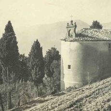
Tourette-du-Château, Mountain commune in Alpes-Maritimes, France.
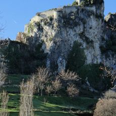
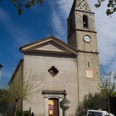
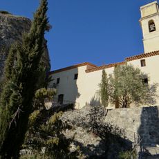
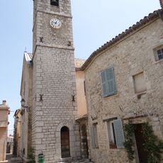
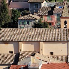
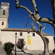
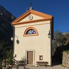
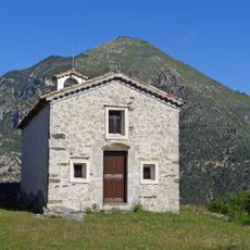
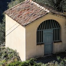
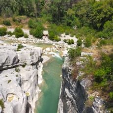
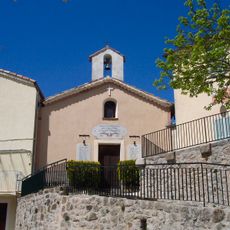
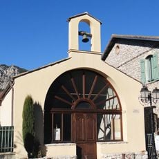
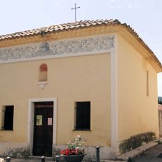
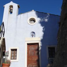
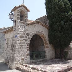
Tourette-du-Château is a commune in the Alpes-Maritimes at about 900 meters elevation, where mountain ridges and valleys alternate. The place consists of several houses arranged around the village center showing typical southern French architecture.
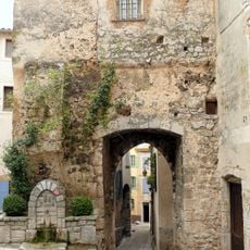
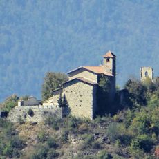
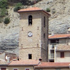
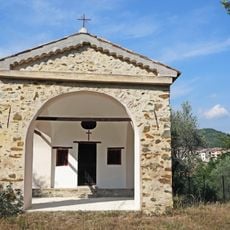
The settlement developed in a remote mountain region where people chose a defensive location. The place name refers to an earlier fortification, reflecting strategic interest in this spot.
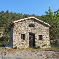
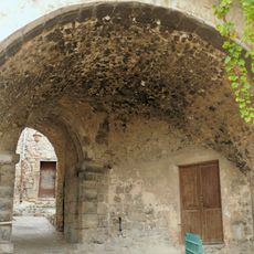
The village shows local traditions through its stone houses and narrow lanes that still shape how residents live together today. This layout reflects the rural way of life rooted in the region for generations.
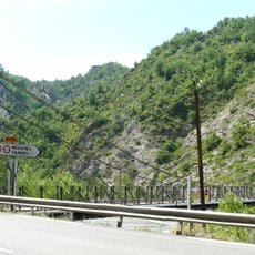
The place is reachable by mountain roads from Nice and offers limited accommodation options in the village and nearby communes. The drive takes considerable time and requires a reliable car or alternatively patience when planning your route.
The village sits at the border between two regional identities and blends Provencal and alpine influences in a direct way. This mixture of both worlds makes the character of the place clearly felt by visitors.
Location: canton of Roquestéron
Location: Alpes-Maritimes
Location: arrondissement of Nice
Elevation above the sea: 847 m
Shares border with: Bonson, Gilette, Malaussène, Revest-les-Roches, Toudon
Address: 06830 Tourette-du-Château, France
Phone: +33493085983
Email: mairie@touretteduchateau.fr
Website: https://touretteduchateau.fr
GPS coordinates: 43.88222,7.14278
Latest update: December 13, 2025 17:06
Château de Gilette
3.9 km
Pont Charles-Albert
6.4 km
Église Saint-Antonin de Levens
7 km
Église Saint-Jean-Baptiste de Villars-sur-Var
7.1 km
Église Saint-Sébastien-Saint-Martin de Pierrefeu
5.1 km
Ramparts in Levens
7.1 km
Église Saint-Trophime et Notre Dame de l'Assomption de Bouyon
6.5 km
Église de l'Assomption
3.9 km
Église Saint-Benoît de Bonson
4.2 km
Église de la Visitation-et-Sainte-Philomène du Chaudan
4.6 km
Église Saint-Antoine-de-Padoue de Tournefort
7.2 km
Église Saint-Pierre de Tournefort
6.9 km
Église Sainte-Anne du Plan-du-Var
5.2 km
Église Saint-Jacques des Ferres
5.6 km
Chapelle Saint-Honoré de Gilette
4.1 km
Chapelle Sainte-Anne de Massoins
6.7 km
Chapelle Saint-Sébastien de Massoins
6.7 km
Pont de la Cerisé
3.8 km
Chapelle des Pénitents blancs de Malaussène
5.1 km
Massoins Bridge
6 km
Chapelle Saint-Pancrace de Gilette
3.8 km
Chapelle Saint-Roch de Bouyon
6.6 km
Chapelle des Pénitents Blancs de Levens
7.2 km
Chapelle Saint-Joseph de Levens
7.3 km
Chapelle Saint-Antoine-de-Padoue du Passet
4.4 km
Chapelle Saint-Bernardin de Bouyon
6.5 km
Passage voûté de Levens
7.1 km
Chapelle Saint-Pons de Bouyon
6.2 kmVisited this place? Tap the stars to rate it and share your experience / photos with the community! Try now! You can cancel it anytime.
Discover hidden gems everywhere you go!
From secret cafés to breathtaking viewpoints, skip the crowded tourist spots and find places that match your style. Our app makes it easy with voice search, smart filtering, route optimization, and insider tips from travelers worldwide. Download now for the complete mobile experience.
A unique approach to discovering new places❞
— Le Figaro
All the places worth exploring❞
— France Info
A tailor-made excursion in just a few clicks❞
— 20 Minutes