
Collandres, commune in Cantal, France
Location: Cantal
Location: arrondissement of Mauriac
Elevation above the sea: 1,157 m
Shares border with: Apchon, Cheylade, Le Falgoux, Riom-ès-Montagnes, Saint-Hippolyte, Trizac, Valette, Le Vaulmier
Phone: +33471780354
Email: mairie.collandres@wanadoo.fr
GPS coordinates: 45.23611,2.65750
Latest update: June 14, 2025 05:41
Église Saint-Léger de Cheylade
5.5 km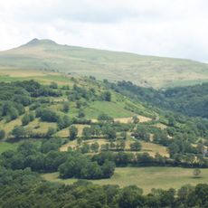
Puy Violent
13 km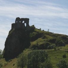
Château d'Apchon
3.3 km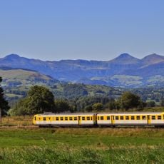
Gentiane Express
5.4 km
Scénoparc iO
5.5 km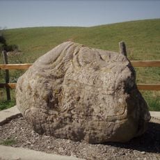
Engraved stone of Belvezin
8.6 km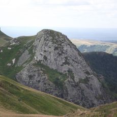
Roc d'Hozières
13.6 km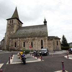
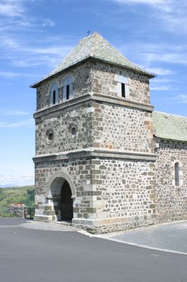
Église Saint-Georges
5.1 km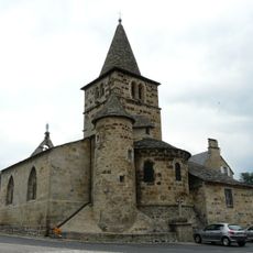
Église Saint-Pierre de Menet
8.7 km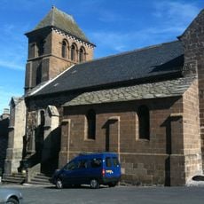
Église Saint-Beauzire de Trizac
9.6 km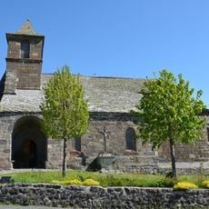
Église Saint-Hippolyte de Saint-Hippolyte
4 km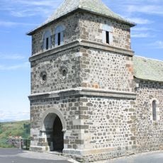
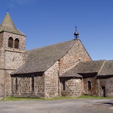
Église Saint-Martin de Collandres
74 m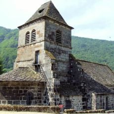
Église Saint-Vincent de Saint-Vincent-de-Salers
10.6 km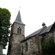
Église Sainte-Croix-et-Saint-Pierre de Marchastel
7.5 km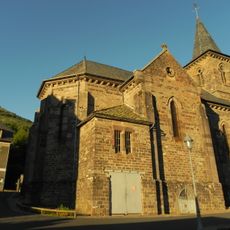
Église Saint-Germain du Falgoux
9.4 km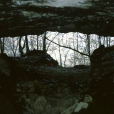
Grotte de la Bade
4.6 km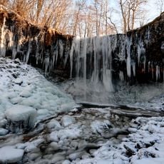
Cascade de la Ribeyrette
3.2 km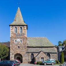
Église Saint-Blaise d'Apchon
3.2 km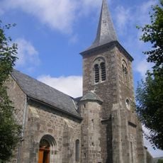
Église Saint-Jean-Baptiste du Claux
9.2 km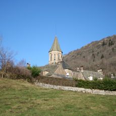
Église Saint-Ferréol du Vaulmier
8.8 km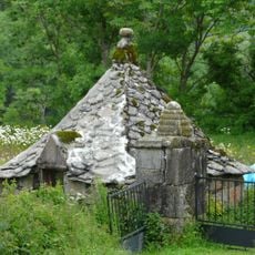
Oratoire du Sartre
7.5 km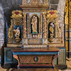
Église Saint-Blaise d'Apchon - autel, retable, 2 statues
3.2 km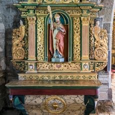
Groupe d'objets à Apchon
3.2 km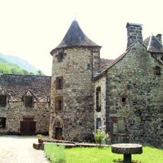
Château de la Borie
10.6 km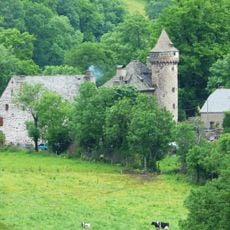
Château d'Escorolles
6.1 km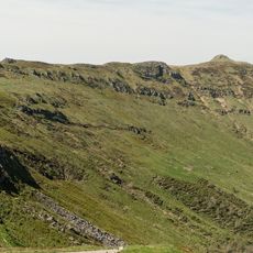
Puy de la Tourte
12.4 km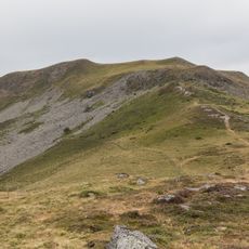
Puy de Niermont
11.4 km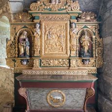
Groupe d'objets à Apchon
3.2 kmReviews
Visited this place? Tap the stars to rate it and share your experience / photos with the community! Try now! You can cancel it anytime.
Discover hidden gems everywhere you go!
From secret cafés to breathtaking viewpoints, skip the crowded tourist spots and find places that match your style. Our app makes it easy with voice search, smart filtering, route optimization, and insider tips from travelers worldwide. Download now for the complete mobile experience.

A unique approach to discovering new places❞
— Le Figaro
All the places worth exploring❞
— France Info
A tailor-made excursion in just a few clicks❞
— 20 Minutes