
Sernhac, commune in Gard, France
Location: canton of Aramon
Location: Gard
Location: arrondissement of Nîmes
Elevation above the sea: 45 m
Shares border with: Fournès, Lédenon, Meynes, Montfrin, Remoulins, Saint-Bonnet-du-Gard
Phone: +33430065230
Email: secretariat@mairie-sernhac.fr
Website: http://mairie-sernhac.com
GPS coordinates: 43.91139,4.55194
Latest update: June 2, 2025 19:17
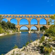
Pont du Gard
4.2 km
Circuit de Lédenon
3.9 km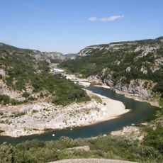
Gorges du Gardon
3.1 km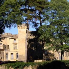
Château de Saint-Privat
4.9 km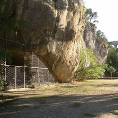
Grotte de la Salpêtrière
4.2 km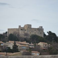
Château de Lédenon
3.7 km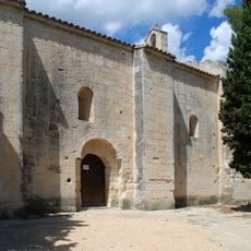
Chapelle Saint-Amand de Théziers
6.2 km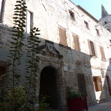
Commanderie de Montfrin
5 km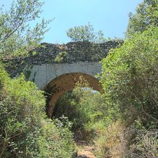
Pont de la Combe Joseph
3.2 km
Grotte Bayol
6 km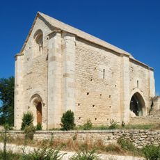
Chapelle Saint-Étienne de Saint-Hilaire-d'Ozilhan
6.7 km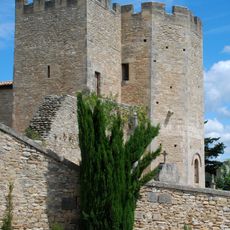
Church of Saint-Bonnet-du-Gard
1.7 km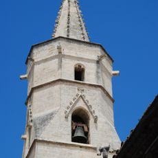
Église Notre-Dame-de-Malpas de Montfrin
5 km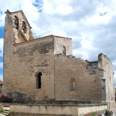
Église Saint-Grégoire de Théziers
5.7 km
Chapelle Saint-Pierre de Vers-Pont-du-Gard
5.5 km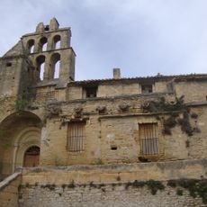
Église Notre-Dame-de-Bethléem de Remoulins
3.3 km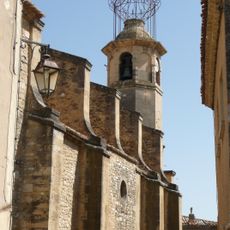
Église de Fournès
4.4 km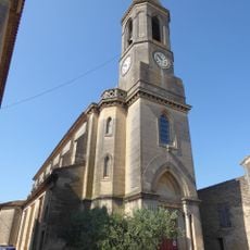
Église Saint-Christophe de Castillon-du-Gard
6.6 km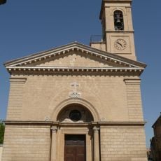
Église Notre-Dame-et-Saint-Martin de Remoulins
3.2 km
Église de Meynes
3.3 km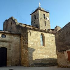
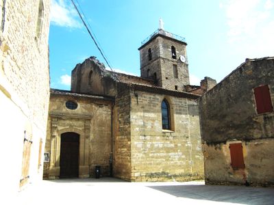
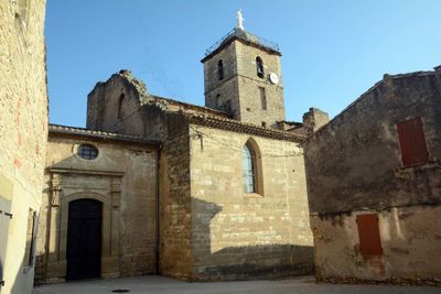
Église Saint Sauveur de Sernhac
126 m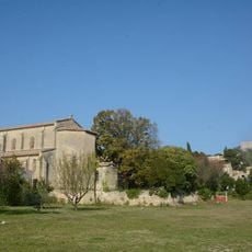
Église Saint-Cyr-et-Sainte-Julitte de Lédenon
3.5 km
Chapelle Saint-Christophe de Castillon-du-Gard
6.3 km
Château de Rabasse
3.5 km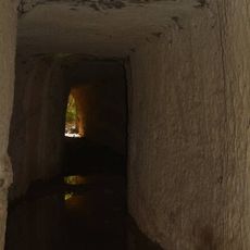
Partie de l'aqueduc de Nîmes à Sernhac
969 m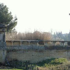
Pont suspendu de Remoulins
2.9 km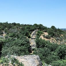
Pont du Combe Roussiere
4 km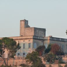
Château de Montfrin
5.1 kmVisited this place? Tap the stars to rate it and share your experience / photos with the community! Try now! You can cancel it anytime.
Discover hidden gems everywhere you go!
From secret cafés to breathtaking viewpoints, skip the crowded tourist spots and find places that match your style. Our app makes it easy with voice search, smart filtering, route optimization, and insider tips from travelers worldwide. Download now for the complete mobile experience.

A unique approach to discovering new places❞
— Le Figaro
All the places worth exploring❞
— France Info
A tailor-made excursion in just a few clicks❞
— 20 Minutes