
Santa-Maria-Siché, commune in Corse-du-Sud, France
Location: Corse-du-Sud
Location: canton of Santa-Maria-Siché
Location: arrondissement of Ajaccio
Elevation above the sea: 706 m
Shares border with: Azilone-Ampaza, Bastelica, Campotula, Cardo-Torgia, Frasseto, Grosseto-Prugna, Quasquara, Zigliara
Phone: +33495257048
Email: mairiesantamariasiche@wanadoo.fr
GPS coordinates: 41.87611,8.97833
Latest update: June 6, 2025 12:42
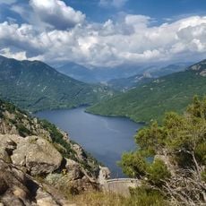
Lac de Tolla
10.3 km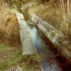
Canal de la Gravona
16 km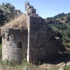
Chapelle San'Petru di Panicala
2.7 km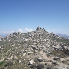
Monte San Petru
13.1 km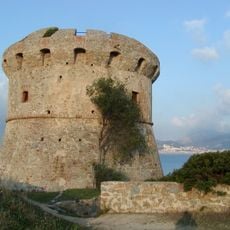
Torra di Capiteddu
15.2 km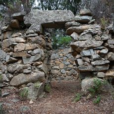
Monument torréen de Foce
6.4 km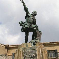
Statue of Sampiero Corso
15.1 km
Molina
10.6 km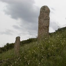
Stantara di u Cantonu
8.9 km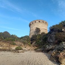
Plage de Capitello
15.2 km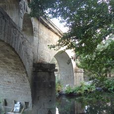
Calzola Bridge
12.9 km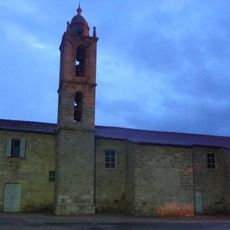
Église Saint-Nicolas d'Aullène
14.6 km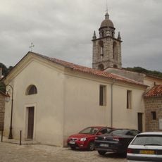
Église de Zigliara
3.6 km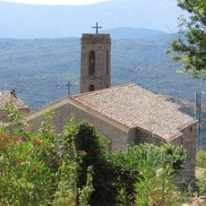
Église Saint-Nicolas de Serra-di-Scopamène
15 km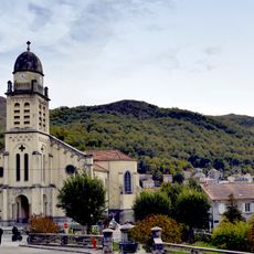
Église Saint-Michel de Bastelica
15.1 km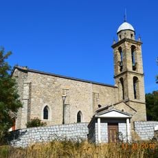
Église Sainte-Catherine d'Albitreccia
3 km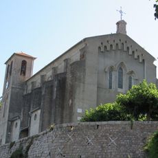
Église Saint-Martin de Cuttoli-Corticchiato
13.8 km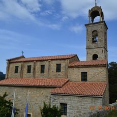
Église Santa-Maria d'Azilone
3.3 km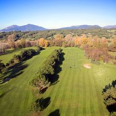
GIGA Golf Club
13.4 km
Couvent Saint-François d'Istria
9.9 km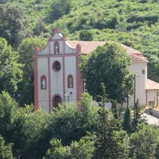
Église Saint-Laurent de Peri
14.8 km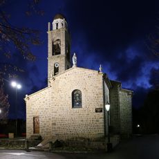
Église Saint-Césaire de Grosseto
1.5 km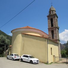
Église Saint-Michel d'Ocana
9.9 km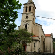
Église Saint-Nicolas dite église San-Niculau de Bicchisano
9.9 km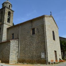
Église Saint-Mathieu d'Ampaza
2.1 km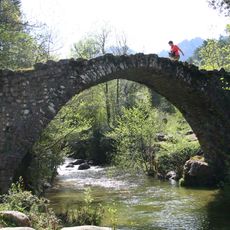
Pont de Zippitoli
9.7 km
Église Saint-Nicolas de Petreto
10.2 km
Chapelle de l'Annonciation dite la Nunziata de Peri
15.1 kmVisited this place? Tap the stars to rate it and share your experience / photos with the community! Try now! You can cancel it anytime.
Discover hidden gems everywhere you go!
From secret cafés to breathtaking viewpoints, skip the crowded tourist spots and find places that match your style. Our app makes it easy with voice search, smart filtering, route optimization, and insider tips from travelers worldwide. Download now for the complete mobile experience.

A unique approach to discovering new places❞
— Le Figaro
All the places worth exploring❞
— France Info
A tailor-made excursion in just a few clicks❞
— 20 Minutes