Enable Location

We need your location to show you interesting places around you

Discover nearby places

Find interesting locations and hidden gems around you

Precise directions

Get accurate directions and distances to places

Your location is never shared with other users. It's only used when you tap the location button.

Pierrelatte

Log in to your account

Start exploring — it's free

Trusted by 62,287 travelers worldwide

Continue with Google
Continue with Apple
or

We will send you a code to connect

By continuing, you accept our Terms and Conditions and our Privacy Policy

Check your inbox

We've sent a pincode in your inbox. Please enter the code below.

Pierrelatte, Municipality in Drôme, France

Pierrelatte is a municipality in southeastern France located in the Drôme department's canton. The town sits in the Rhône Valley, occupying terrain that rises gently from around 46 to 61 meters in elevation.

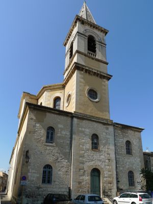
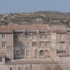
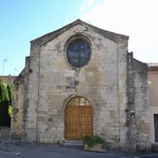
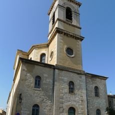
The Chapel of Penitents dates back to the 12th century and stands as the oldest surviving building in the municipality. The 1980s brought major change when a large industrial facility arrived, shifting the town's role from small agricultural settlement to production hub.

The Chapel of Penitents in the old town reflects the religious heritage that shaped community life here. Walking through this area gives a sense of how faith and tradition were woven into daily existence.

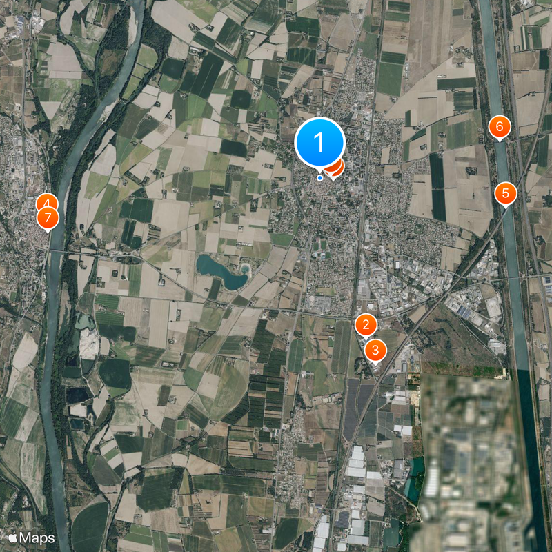
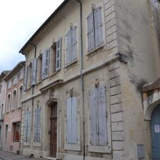
The best way to explore the municipality is to walk through the historic center where the main points of interest are located. The area is readily accessible, and you can move between different parts without difficulty.

For decades, the municipality served as a major center of uranium processing and nuclear energy production, shaping the daily reality of residents in ways most visitors never fully understand. This industrial role left deep marks on the local landscape and economy, yet the place receives little attention from travelers.

The community of curious travelers

AroundUs brings together thousands of curated places, local tips, and hidden gems, enriched daily by 60,000 contributors worldwide.

Start exploring
Location
Elevation above the sea
52 m
Shares border with
Bourg-Saint-Andéol, Saint-Marcel-d'Ardèche, Donzère, La Garde-Adhémar, Saint-Paul-Trois-Châteaux, Bollène, Lapalud
Address
26700 Pierrelatte, France
Phone
GPS coordinates
44.37750,4.69611
Latest update
December 20, 2025 12:03
« Pierrelatte - Municipality in Drôme, France » is provided by Around Us (aroundus.com). Images and texts are derived from Wikimedia project under a Creative Commons license. You are allowed to copy, distribute, and modify copies of this page, under the conditions set by the license, as long as this note is clearly visible.

Discover hidden gems everywhere you go!

From secret cafés to breathtaking viewpoints, skip the crowded tourist spots and find places that match your style. Our app makes it easy with voice search, smart filtering, route optimization, and insider tips from travelers worldwide. Download now for the complete mobile experience.

Around Us App Screenshot

A unique approach to discovering new places

Le Figaro

All the places worth exploring

France Info

A tailor-made excursion in just a few clicks

20 Minutes

Around Us
Travel Guide & Maps
Download

Send to your phone

QR Code
1

Open the camera app on your mobile.

2

Point at the QR code with your camera. A notification will appear.

3

Tap the notification to open the link.