
Lasse, former commune in Maine-et-Loire, France
Location: canton of Noyant
Location: Maine-et-Loire
Location: arrondissement of Saumur
Elevation above the sea: 82 m
Shares border with: Auverse, Baugé-en-Anjou, Chavaignes, Genneteil, Le Guédeniau, Clefs-Val d'Anjou
GPS coordinates: 47.53667,0.01083
Latest update: May 28, 2025 03:27
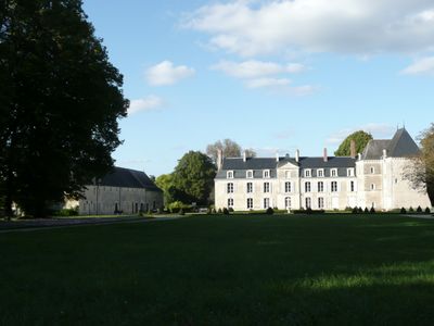
Château de Baugé
8.5 km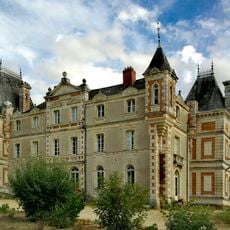
Castle Grésillon
7.2 km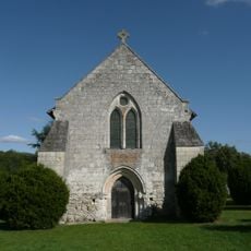
Abbaye de la Boissière
9.1 km
Palais de justice de Baugé
8.4 km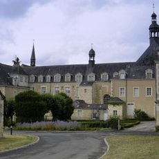
Hôtel-Dieu de Baugé
8.3 km
Hôtel Maillard
8.6 km
Église Saint-Symphorien du Vieil-Baugé
9.8 km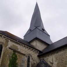
Église Saint-Denis de Pontigné
4.1 km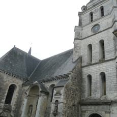
Église Saint-Pierre-et-Saint-Laurent de Baugé
8.7 km
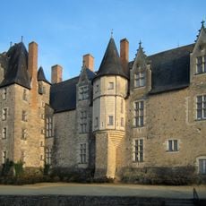
Château du Bouchet
1.9 km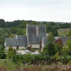
Manoir de Clairefontaine
8.3 km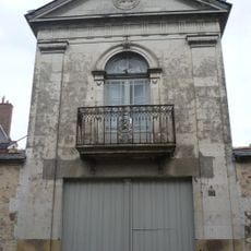
Hôtel Mabille-Duchêne
8.8 km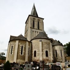
Église Saint-Germain de Mouliherne
7.5 km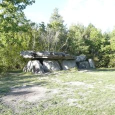
Pierre-Couverte
6.4 km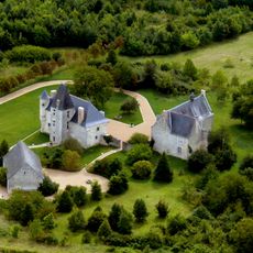
Manoir de Breil de Foin
6 km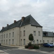
Couvent des Bénédictines de Baugé
8.7 km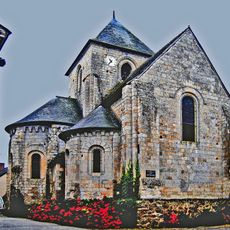
Église Saint-Martin-de-Vertou de Bocé
7.8 km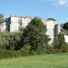
Manoir de Launay-le-Jeune
6.5 km
Hôtel Les Cèdres
9.1 km
Église Saint-Eutrope de Montpollin
10.2 km
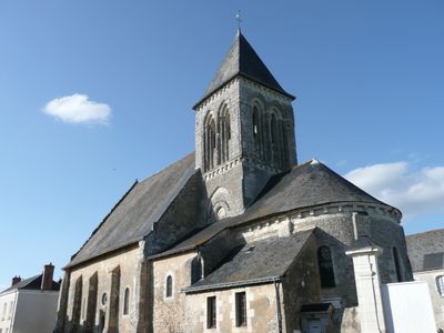
Église Saint-Méen de Lasse
44 m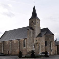
Église Saint-Martin de Genneteil
6.8 km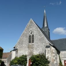
Église Saint-Jean-Baptiste de Dénezé-sous-le-Lude
9.3 km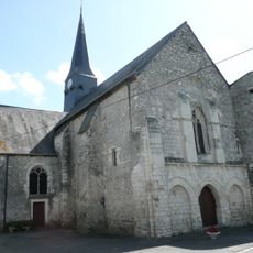
Église Saint-Pierre-Saint-Paul de Chigné
7.7 km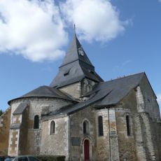
Église Saint-Pierre de Vaulandry
7.9 km
Golf de Baugé
6.6 km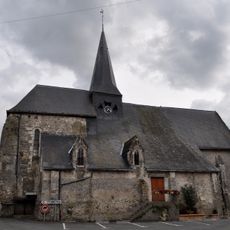
Église Saint-Loup de Savigné-sous-le-Lude
9.8 km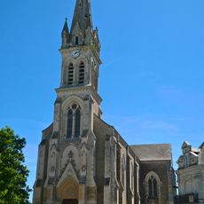
Église Saint-Martin de Noyant
8.5 kmReviews
Visited this place? Tap the stars to rate it and share your experience / photos with the community! Try now! You can cancel it anytime.
Discover hidden gems everywhere you go!
From secret cafés to breathtaking viewpoints, skip the crowded tourist spots and find places that match your style. Our app makes it easy with voice search, smart filtering, route optimization, and insider tips from travelers worldwide. Download now for the complete mobile experience.

A unique approach to discovering new places❞
— Le Figaro
All the places worth exploring❞
— France Info
A tailor-made excursion in just a few clicks❞
— 20 Minutes