Saint-Ambroix

Log in to your account

AroundUs is a community-driven map of interesting places, built by curious explorers like you. It grows with every review, story, and photo you share.
Connect to save your favorite spots, contribute locations, and create personalized routes.
Continue with Google
Continue with Apple
Continue with X
Continue with Facebook
Continue with email
By continuing, you accept our Terms and Conditions and our Privacy Policy
Create an account
Add to collection
Map
Suggest a change
Share

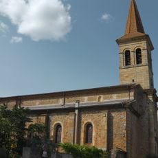
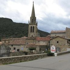
Saint-Ambroix, Medieval commune in Gard, France

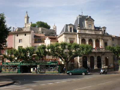
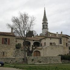
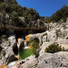
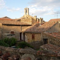
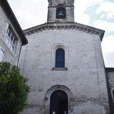
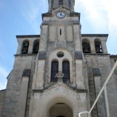
Saint-Ambroix is a commune nestled in the Cèze Valley with a compact medieval center of stone buildings, narrow lanes, and stairs connecting different levels of the town. The landscape features limestone cliffs enclosing the settlement, while the river flows through the valley below.

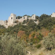
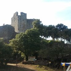
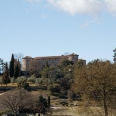
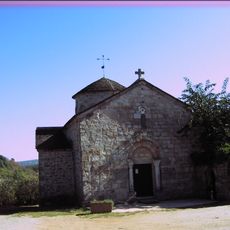
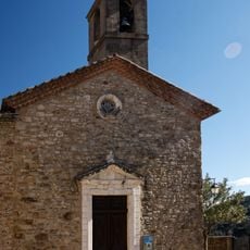
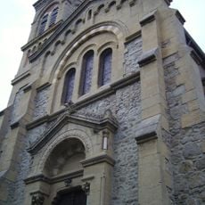
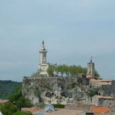
The town developed around medieval fortifications and castles that controlled the valley, with structures built and rebuilt over centuries as the settlement adapted to changing times. Later additions included the chapel on the Dugas plateau, constructed atop earlier foundations.

The Tuesday market has drawn merchants and residents together for centuries, creating a gathering point where local producers and neighboring farmers sell their goods and wares. This weekly rhythm has long shaped how people meet and interact in the town.

The town makes a good base for exploring the Cèze Valley with walking trails and river activities nearby, all easily reached from the compact center. The narrow streets and stairs throughout the old town are steep in places, so comfortable footwear is helpful for getting around.

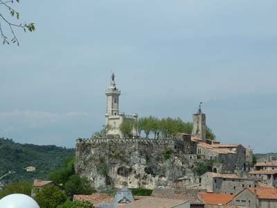
The Guisquet Tower from the 18th century stands atop the town as a decorative structure rather than a defensive fortification, creating an unusual landmark in the landscape. This quirky building reveals how the settlement chose ornament over military function in later centuries.

Location: canton of Saint-Ambroix

Location: Gard

Location: arrondissement of Alès

Elevation above the sea: 118 m

Industry: administration publique générale

Shares border with: Les Mages, Meyrannes, Molières-sur-Cèze, Potelières, Saint-Brès, Saint-Victor-de-Malcap

Address: 30500 Saint-Ambroix, France

Phone: +33466240002

Email: courrier@saint-ambroix.com

Website: http://saint-ambroix.fr

GPS coordinates: 44.26056,4.19806

Latest update: December 7, 2025 19:32

Photos
Reviews

Visited this place? Tap the stars to rate it and share your experience / photos with the community! Try now! You can cancel it anytime.

« Saint-Ambroix - Medieval commune in Gard, France » is provided by Around Us (aroundus.com). Images and texts are derived from Wikimedia project under a Creative Commons license. You are allowed to copy, distribute, and modify copies of this page, under the conditions set by the license, as long as this note is clearly visible.

Discover hidden gems everywhere you go!

From secret cafés to breathtaking viewpoints, skip the crowded tourist spots and find places that match your style. Our app makes it easy with voice search, smart filtering, route optimization, and insider tips from travelers worldwide. Download now for the complete mobile experience.

Around Us App Screenshot

A unique approach to discovering new places

Le Figaro

All the places worth exploring

France Info

A tailor-made excursion in just a few clicks

20 Minutes