
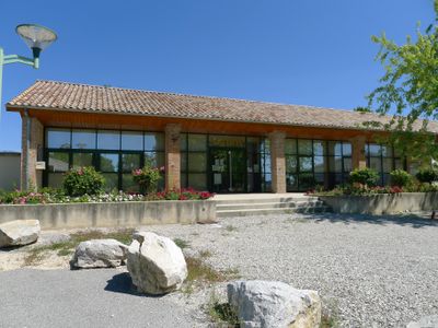
Charpey, commune in Drôme, France
Location: Drôme
Location: arrondissement of Valence
Elevation above the sea: 279 m
Shares border with: Alixan, Bésayes, Châteaudouble, Montélier, Peyrus, Saint-Vincent-la-Commanderie
Phone: +33475598055
Email: mairie@charpey.fr
Website: http://charpey.fr
GPS coordinates: 44.93833,5.09278
Latest update: June 9, 2025 06:54
Abbaye de Léoncel
8.5 km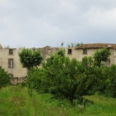
Abbaye de Vernaison
11.8 km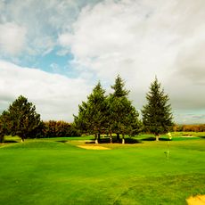
Golf de Saint-Didier
2.8 km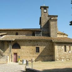
Église Saint-Didier d'Alixan
6.6 km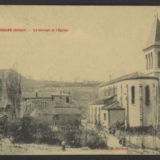
Église Saint-Nicolas de Beauregard
9.8 km
Église Sainte-Anne de Meymans
9.7 km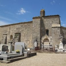
Chapelle Saint-Pierre de Peyrus
2.4 km
Circa'Parc
3.6 km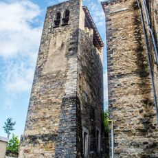
Église Saint-Andéol de Chabeuil
7.1 km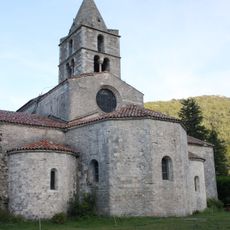
Abbatiale Sainte-Marie de Léoncel
8.5 km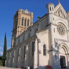
Église Saint-Prix de Montélier
5 km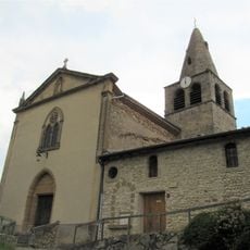
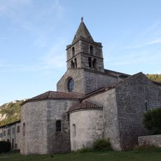
Église Saint-Nicolas de Charpey
84 m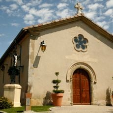
Église Saint-Michel de Pizançon
11.1 km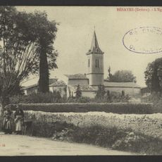
Église Saint-Étienne de Bésayes
3.3 km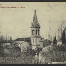
Église Saint-Didier de Charpey
2.2 km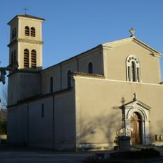
Église Saint-Blaise de Montvendre
9.2 km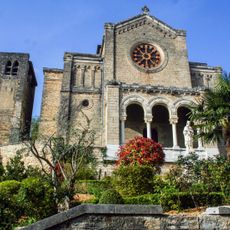
Église Saint-Jean-Baptiste de Chabeuil
7.1 km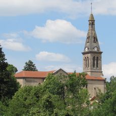
Église Saint-Sébastien de Barbières
4.3 km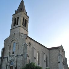
Église Saint-Apollinaire de Chatuzange-le-Goubet
6.9 km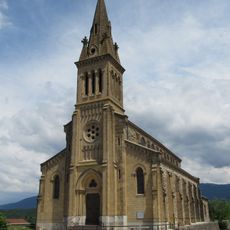
Église Saint-Barthélemy de Marches
4.4 km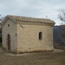
Chapelle Sainte-Marguerite de Combovin
7.1 km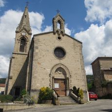
Église Saint-Vincent de Saint-Vincent-la-Commanderie
2 km
Église Saint-Robert de La Vacherie
9.2 km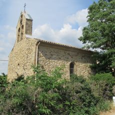
Église Sainte-Anne de Barcelonne
8.5 km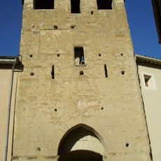
Porte fortifiée de l'ancien village
9.2 km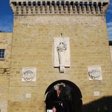
Porte de ville
7.1 km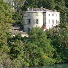
Maison Favor
11 km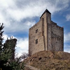
Château de Barcelonne
8.1 kmVisited this place? Tap the stars to rate it and share your experience / photos with the community! Try now! You can cancel it anytime.
Discover hidden gems everywhere you go!
From secret cafés to breathtaking viewpoints, skip the crowded tourist spots and find places that match your style. Our app makes it easy with voice search, smart filtering, route optimization, and insider tips from travelers worldwide. Download now for the complete mobile experience.

A unique approach to discovering new places❞
— Le Figaro
All the places worth exploring❞
— France Info
A tailor-made excursion in just a few clicks❞
— 20 Minutes