Canton of Thiers, canton of France
Location: Puy-de-Dôme
Inception: March 22, 2015
Capital city: Thiers
GPS coordinates: 45.85639,3.54750
Latest update: March 19, 2025 19:10

Cutlery Museum
299 m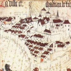
Ramparts of Thiers
279 m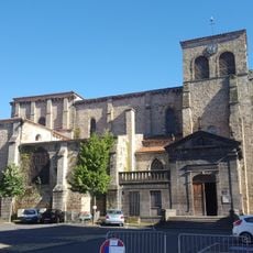
Église Saint-Genès de Thiers
339 m
Creux de l'Enfer
704 m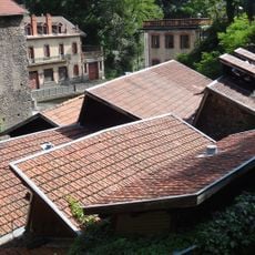
Forges Mondière
672 m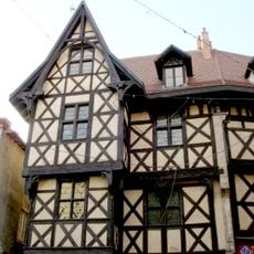
Maison du Piroux à Thiers
244 m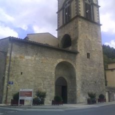
Abbaye du Moutier
662 m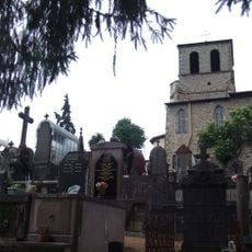
Église Saint-Jean de Thiers
607 m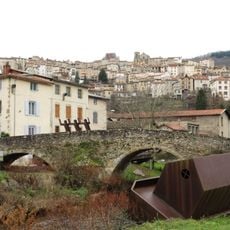
Pont de Moutier
694 m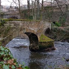
Pont Vielh
475 m
Cité des couteliers
126 m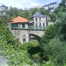
Pont de Seychalles
307 m
Pont de Saint-Roch
452 m
Chapelle de la Clôtra
364 m
Town hall of Thiers
129 m
Statue de Notre-Dame du Pont, église Saint-Genès de Thiers
337 m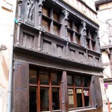
Maison de l'Homme des Bois
355 m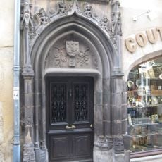
Immeuble, 10 rue du Bourg
168 m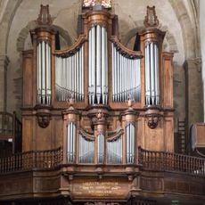
Pipe organ of the Saint-Genès church in Thiers
347 m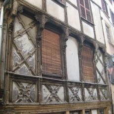
Maison, 14 rue de la Coutellerie
300 m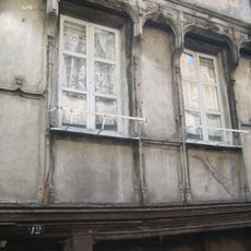
Maison, 12 rue de la Coutellerie
299 m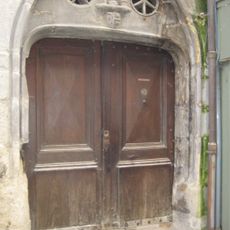
Maison, 12 rue du Bourg
178 m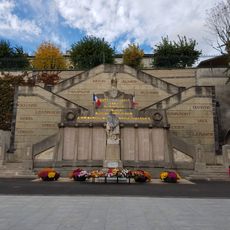
Thiers war memorial
98 m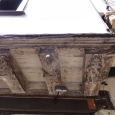
Maison des sept péchés capitaux
246 m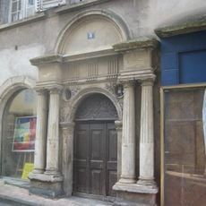
Maison de Lauzun
269 m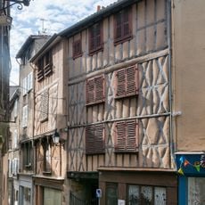
Hôtel Nevreze
70 m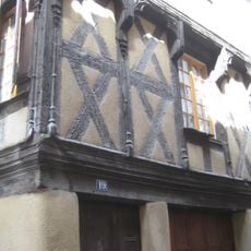
Maison à pans de bois
344 m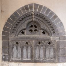
Tombeau à Thiers
337 mReviews
Visited this place? Tap the stars to rate it and share your experience / photos with the community! Try now! You can cancel it anytime.
Discover hidden gems everywhere you go!
From secret cafés to breathtaking viewpoints, skip the crowded tourist spots and find places that match your style. Our app makes it easy with voice search, smart filtering, route optimization, and insider tips from travelers worldwide. Download now for the complete mobile experience.

A unique approach to discovering new places❞
— Le Figaro
All the places worth exploring❞
— France Info
A tailor-made excursion in just a few clicks❞
— 20 Minutes