Enable Location

We need your location to show you interesting places around you

Discover nearby places

Find interesting locations and hidden gems around you

Precise directions

Get accurate directions and distances to places

Your location is never shared with other users. It's only used when you tap the location button.

Charleval

Log in to your account

Start exploring — it's free

Trusted by 61,994 travelers worldwide

Continue with Google
Continue with Apple
or

We will send you a code to connect

By continuing, you accept our Terms and Conditions and our Privacy Policy

Check your inbox

We've sent a pincode in your inbox. Please enter the code below.

Charleval, Administrative commune in Bouches-du-Rhône, France

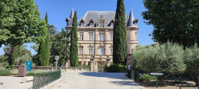
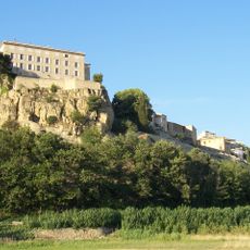
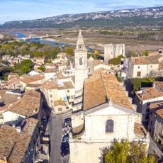
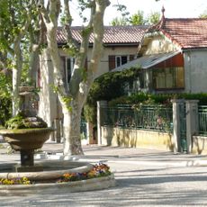
Charleval is a Provençal village positioned between the Durance River and Luberon mountains that features an orderly street layout with geometric precision. The settlement was organized with straight thoroughfares forming rectangular blocks, giving the community a distinctive structural arrangement.

The village was established in 1741 as a newly planned settlement in the region. This founding marked a deliberate effort to create an organized community in Provence.

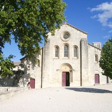
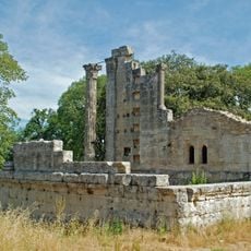
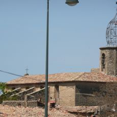
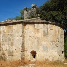
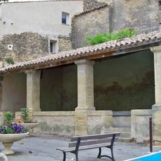
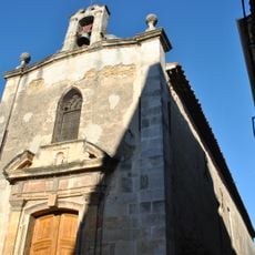
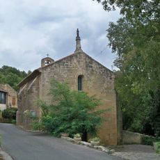
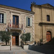
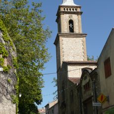
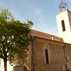
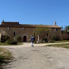
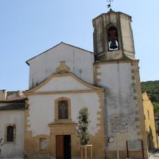
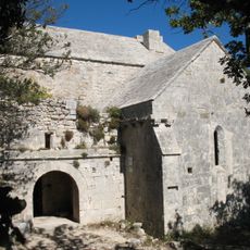
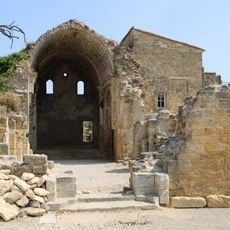
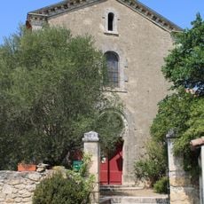
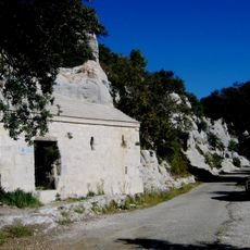
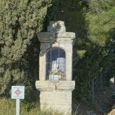
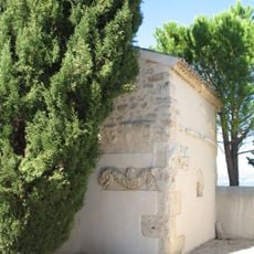
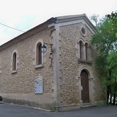
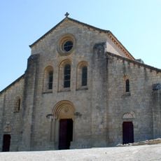
The chapel and nearby Silvacane Abbey display typical Provençal stone architecture with rustic charm that shapes the character of the place. These buildings reflect the traditional building style that locals and visitors see throughout the village.

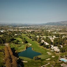
The village offers visitors recreational facilities including a swimming pool surrounded by pine trees, tennis courts, and marked hiking paths through the surrounding countryside. These amenities are easy to locate and work well for spending time outdoors.

The village stands out from many other Provençal settlements because of its unusual street network with right-angle patterns instead of winding lanes. This mathematical grid-like design was deliberately chosen at the time of its founding and remains visible today.

The community of curious travelers

AroundUs brings together thousands of curated places, local tips, and hidden gems, enriched daily by 60,000 contributors worldwide.

Start exploring
Elevation above the sea
121 m
Industry
administration publique générale
Shares border with
Lambesc, Mallemort, La Roque-d'Anthéron, Vernègues, Puget
Address
Charleval, France
Phone
GPS coordinates
43.71861,5.24556
Latest update
December 10, 2025 15:46
« Charleval - Administrative commune in Bouches-du-Rhône, France » is provided by Around Us (aroundus.com). Images and texts are derived from Wikimedia project under a Creative Commons license. You are allowed to copy, distribute, and modify copies of this page, under the conditions set by the license, as long as this note is clearly visible.

Discover hidden gems everywhere you go!

From secret cafés to breathtaking viewpoints, skip the crowded tourist spots and find places that match your style. Our app makes it easy with voice search, smart filtering, route optimization, and insider tips from travelers worldwide. Download now for the complete mobile experience.

Around Us App Screenshot

A unique approach to discovering new places

Le Figaro

All the places worth exploring

France Info

A tailor-made excursion in just a few clicks

20 Minutes

Around Us
Travel Guide & Maps
Download

Send to your phone

QR Code
1

Open the camera app on your mobile.

2

Point at the QR code with your camera. A notification will appear.

3

Tap the notification to open the link.