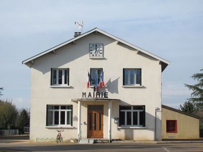
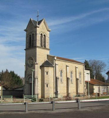
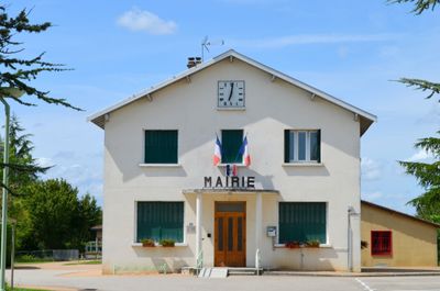
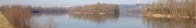
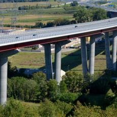
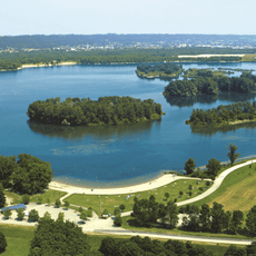
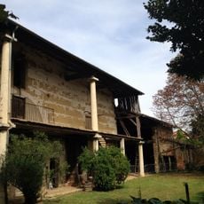
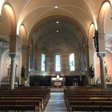
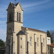
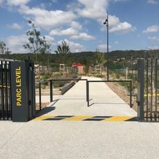
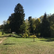
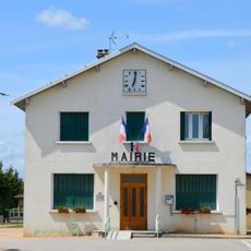
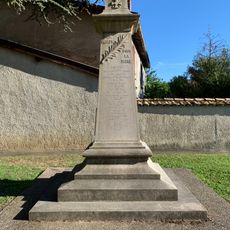
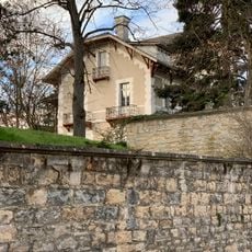
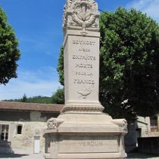
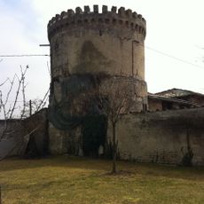
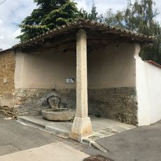
Thil, commune in Ain, France
Location: Ain
Location: arrondissement of Bourg-en-Bresse
Elevation above the sea: 179 m
Shares border with: 
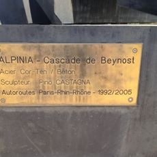
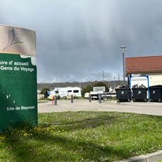
Beynost, La Boisse, Niévroz, Jonage, Meyzieu
Phone: +33478061990
Email: mairie.thil@thil.fr
Website: http://thil.fr
GPS coordinates: 45.81417,5.02167
Latest update: May 27, 2025 13:12
Viaduc de la Côtière
2.3 km
Île de Miribel-Jonage
1.9 km
Old Saint-Julien church, Beynost
3.3 km
Maison Delorme
3.3 km
New Saint-Julien church, Beynost
3.3 km
Villa Monderoux
3 km
La Cascade de Beynost
2.1 km
Église Saint-Florent de Thil
55 m
Finale du tournoi européen militaire de football féminin 2014
3.1 km
Parc Level
2.6 km
Parc du Clos de Monderoux
2.9 km
Town hall of Thil
59 m
Public bookcase of Beynost
3 km
War memorial of Thil
23 m
Chalet Joliette
3.1 km
Statue de la Vierge de l'église de Beynost
3.3 km
War memorial of Beynost
3.3 km
Mairie de Beynost
3.3 km
Cinéma de Saint-Maurice-de-Beynost
3.2 km
Fontaine du Mas Prost
3.3 km
Bassin tampon Les Bottes
3 km
Fossé Les Bottes
3.2 km
Fontaine de l'église de Beynost
3.3 km
Fontaine de l'ancienne église de Beynost
3.3 km
Aire d'accueil des gens du voyage de Beynost
2 km
Château du Soleil
2.5 km
Croix de la Montée des Acacias
3.1 km
Fontaine du chemin des Roches
3.1 kmReviews
Visited this place? Tap the stars to rate it and share your experience / photos with the community! Try now! You can cancel it anytime.
Discover hidden gems everywhere you go!
From secret cafés to breathtaking viewpoints, skip the crowded tourist spots and find places that match your style. Our app makes it easy with voice search, smart filtering, route optimization, and insider tips from travelers worldwide. Download now for the complete mobile experience.
A unique approach to discovering new places❞
— Le Figaro
All the places worth exploring❞
— France Info
A tailor-made excursion in just a few clicks❞
— 20 Minutes