Enable Location

We need your location to show you interesting places around you

Discover nearby places

Find interesting locations and hidden gems around you

Precise directions

Get accurate directions and distances to places

Your location is never shared with other users. It's only used when you tap the location button.

Revel

Log in to your account

Start exploring — it's free

Trusted by 62,947 travelers worldwide

Continue with Google
Continue with Apple
or

We will send you a code to connect

By continuing, you accept our Terms and Conditions and our Privacy Policy

Check your inbox

We've sent a pincode in your inbox. Please enter the code below.

Discussion Reviews 1 Photos
36.8k Popularity

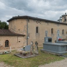
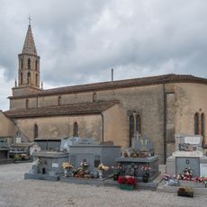
Revel, Administrative commune in Haute-Garonne, France

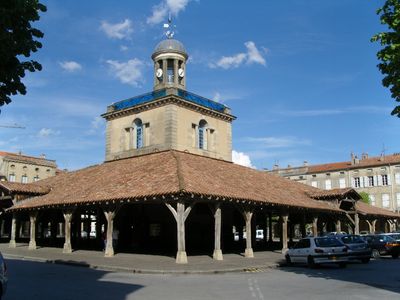
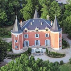
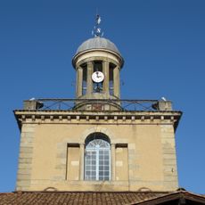
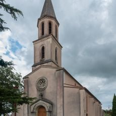
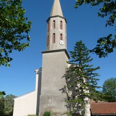
Revel is a commune in Haute-Garonne built according to a geometric grid pattern with streets radiating from a central square. A covered market hall anchors the center of town, situated at an elevation of 210 meters (690 feet).

King Philip VI of Valois founded Revel in 1342 with a deliberate geometric layout centered on a marketplace. This planned design established the town as a regional trading hub from its earliest days.

The town maintains ties to the Lauragais region, historically known for growing and processing woad plants during the Middle Ages. This heritage remains part of how locals understand their community's past.

The town's geometric layout makes it easy to navigate, with clear patterns that help you find your way around. The central square with its market hall serves as a natural reference point for exploring the area.

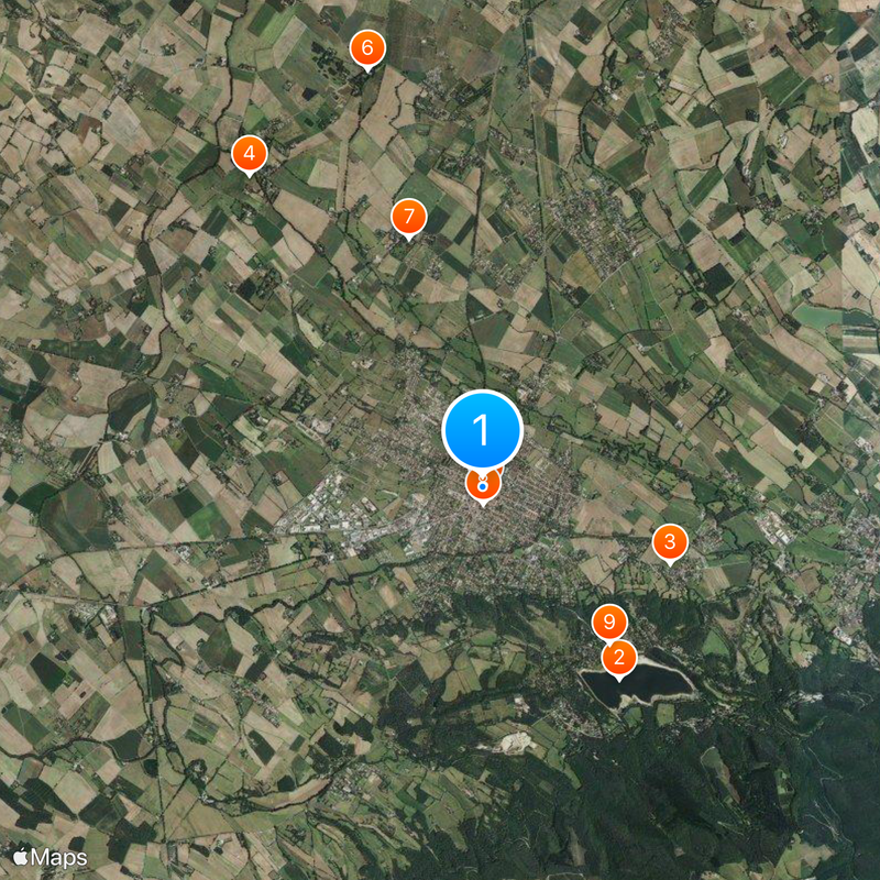
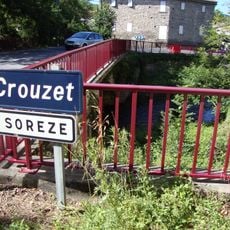
The town sits at a remarkable administrative intersection, bordering eleven different municipalities spread across three departments. This unusual geographic position connects it to areas beyond its immediate region.

The community of curious travelers

AroundUs brings together thousands of curated places, local tips, and hidden gems, enriched daily by 60,000 contributors worldwide.

Start exploring
Location
Elevation above the sea
221 m
Shares border with
La Pomarède, Belleserre, Blan, Garrevaques, Montgey, Palleville, Sorèze, Montégut-Lauragais, Nogaret, Saint-Félix-Lauragais, Vaudreuille
Phone
GPS coordinates
43.45861,2.00417
Latest update
December 17, 2025 10:39
Reviews
Share your experience

No review yet

Discussions
Start a discussion...

No discussion yet

« Revel - Administrative commune in Haute-Garonne, France » is provided by Around Us (aroundus.com). Images and texts are derived from Wikimedia project under a Creative Commons license. You are allowed to copy, distribute, and modify copies of this page, under the conditions set by the license, as long as this note is clearly visible.

Discover hidden gems everywhere you go!

From secret cafés to breathtaking viewpoints, skip the crowded tourist spots and find places that match your style. Our app makes it easy with voice search, smart filtering, route optimization, and insider tips from travelers worldwide. Download now for the complete mobile experience.

Around Us App Screenshot

A unique approach to discovering new places

Le Figaro

All the places worth exploring

France Info

A tailor-made excursion in just a few clicks

20 Minutes

Around Us
Travel Guide & Maps
Download

Send to your phone

QR Code
1

Open the camera app on your mobile.

2

Point at the QR code with your camera. A notification will appear.

3

Tap the notification to open the link.