
Dessia, former commune in Jura, France
Location: canton of Saint-Julien
Location: Jura
Location: arrondissement of Lons-le-Saunier
Industry: administration publique générale
Shares border with: Valfin-sur-Valouse, Dramelay, Lains
GPS coordinates: 46.38500,5.50139
Latest update: March 25, 2025 23:23
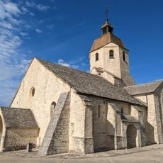
Église Saint-Hymetière
5 km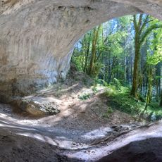
Caborne du Bœuf
4.6 km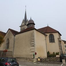
Église Saint-Jean-Baptiste de Saint-Julien
3.8 km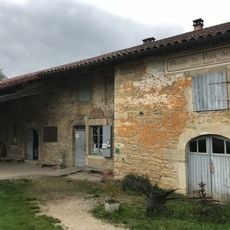
Moulin de Pont des Vents
7.5 km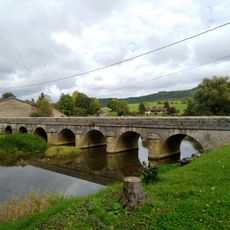
Pont des Vents
7.5 km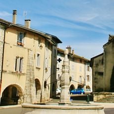
Fontaine d'Arinthod
5.1 km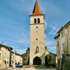
Église de l'Assomption-de-la-Mère-de-Dieu d'Arinthod
5.1 km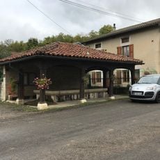
Fontaine-lavoir de Villechantria
4.9 km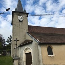
Église Sainte-Catherine de Montfleur
7.9 km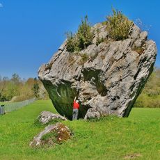
Pierre Enon
7.4 km
Montfleur
7.9 km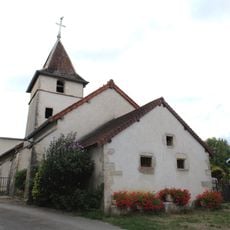
Église Saint-Maurice de Chatonnay
5.5 km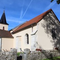
Église Saints-Pierre-et-Paul de Charnod
6 km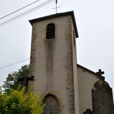
Église Saint-Hippolyte de Monnetay
7.5 km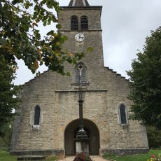
Église Saint-Sébastien de Marigna-sur-Valouse
7.4 km
Église de l'Assomption-de-la-Bienheureuse-Vierge-Marie de Vosbles
5.3 km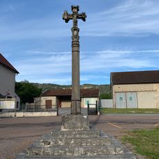
Croix de Chemilla
5.4 km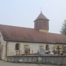
Église de l'Assomption-de-la-Mère-de-Dieu de Louvenne
4.5 km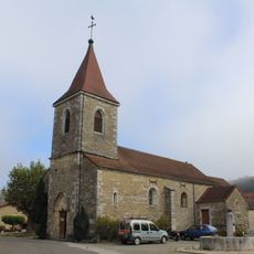
Église Saint-Étienne de Montagna-le-Templier
5 km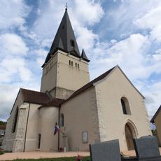
Église Saint-Didier de Savigna
8.5 km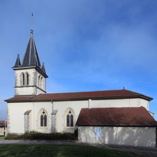
Église Sainte-Anne de Lains
1.1 km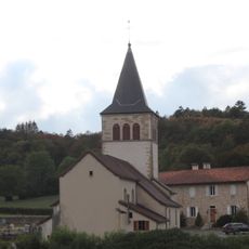
Église Saint-Pierre de La Boissière
4.8 km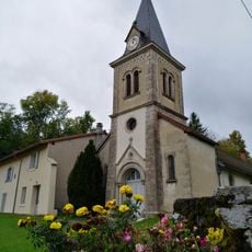
Église Saint-Clair de Villechantria
4.8 km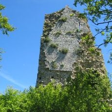
Château de Dramelay
2.7 km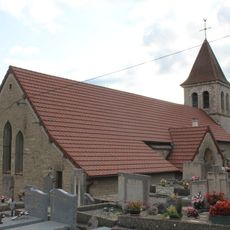
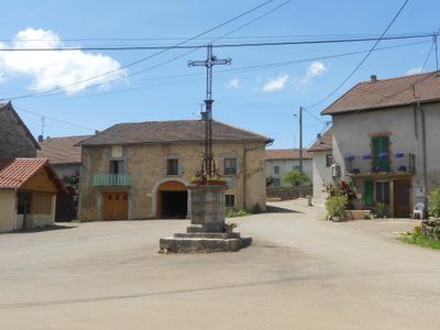
Église Saint-Pierre-ès-Liens de Dessia
87 m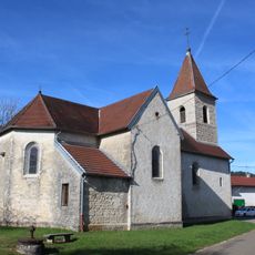
Église Saint-Michel de Genod
4.1 km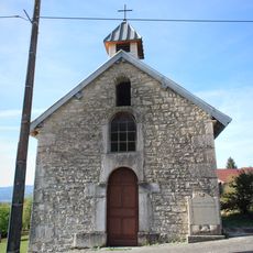
Chapelle Saint-Léger de Cézia
6.2 km
Presbytère de La Boissière
4.8 kmReviews
Visited this place? Tap the stars to rate it and share your experience / photos with the community! Try now! You can cancel it anytime.
Discover hidden gems everywhere you go!
From secret cafés to breathtaking viewpoints, skip the crowded tourist spots and find places that match your style. Our app makes it easy with voice search, smart filtering, route optimization, and insider tips from travelers worldwide. Download now for the complete mobile experience.

A unique approach to discovering new places❞
— Le Figaro
All the places worth exploring❞
— France Info
A tailor-made excursion in just a few clicks❞
— 20 Minutes