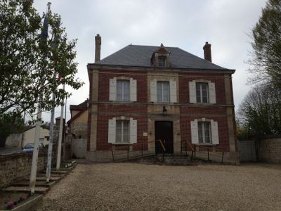
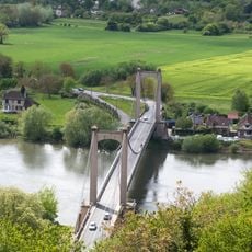
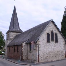
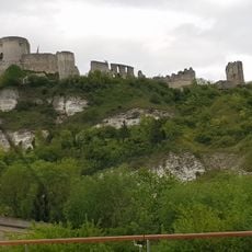
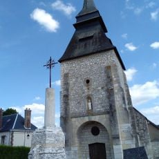
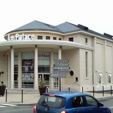
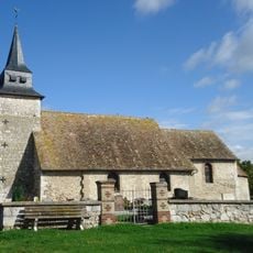
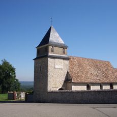
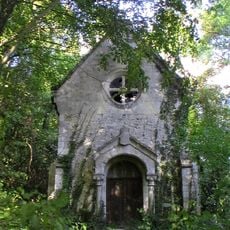
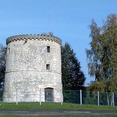
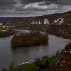
Tosny, former commune in Eure, France
Location: canton of Gaillon-Campagne
Location: Eure
Location: arrondissement of Andelys
Industry: administration publique générale
GPS coordinates: 49.21778,1.37278
Latest update: June 4, 2025 14:33
Château Gaillard
3.1 km
Église Saint-Sauveur
3.4 km
Pont suspendu des Andelys
2.8 km
Château de Tournebut
4.9 km
Musée Nicolas-Poussin
4.7 km
Île du Château
3.3 km
Fort de Boutavant
311 m
Ancient Roman sites in Les Andelys
5.1 km
Fort du Muret
3.1 km
Courcelles-sur-Seine bridge
4.5 km
Tolysland
1.5 km
Île La Tour
285 m
Église Saint-Martin de La Roquette
4.2 km
Saint-Jacques Hospital
3.5 km
Église Saint-Martin de Vézillon
2.1 km
Église Notre-Dame-de-Bon-Secours de Courcelles-sur-Seine
4.1 km
Roche de l'Ermite
3.8 km
Église Saint-Pierre de Bouafles
1.3 km
Église Saint-Sulpice de Tosny
37 m
Cinéma Le Palace
4.5 km
Église Saint-Denis de Bernières-sur-Seine
3 km
Église Saint-Ursin du Montier
5 km
Chapelle Notre-Dame du Manoir de Tournebut
4.8 km
L'Hermitage's windmill
1.5 km
Pedestrian zone, scenic viewpoint
3.2 km
Église Saint-Martin du Thuit
4.6 km
Tour de l'Horloge et maison de la Madeleine
4.6 km
Château du Thuit
4.4 kmReviews
Visited this place? Tap the stars to rate it and share your experience / photos with the community! Try now! You can cancel it anytime.
Discover hidden gems everywhere you go!
From secret cafés to breathtaking viewpoints, skip the crowded tourist spots and find places that match your style. Our app makes it easy with voice search, smart filtering, route optimization, and insider tips from travelers worldwide. Download now for the complete mobile experience.
A unique approach to discovering new places❞
— Le Figaro
All the places worth exploring❞
— France Info
A tailor-made excursion in just a few clicks❞
— 20 Minutes